12127 Lawyers Rd Mint Hill, NC 28227
Estimated Value: $461,000 - $533,000
3
Beds
2
Baths
1,620
Sq Ft
$305/Sq Ft
Est. Value
About This Home
This home is located at 12127 Lawyers Rd, Mint Hill, NC 28227 and is currently estimated at $493,419, approximately $304 per square foot. 12127 Lawyers Rd is a home located in Mecklenburg County with nearby schools including Bain Elementary, Mint Hill Middle School, and Independence High.
Ownership History
Date
Name
Owned For
Owner Type
Purchase Details
Closed on
Dec 9, 2016
Sold by
Allen Faye K and Benton Faye K
Bought by
Allen David Michael and Allen Aana Lisa Johnson
Current Estimated Value
Purchase Details
Closed on
Jul 8, 2015
Sold by
Allen David Michael
Bought by
Allen David Michael and Allen Aanalisa Johnson
Purchase Details
Closed on
Feb 21, 2001
Sold by
Allen David Michael and Allen Lea Ann Helms
Bought by
Allen David Michael
Create a Home Valuation Report for This Property
The Home Valuation Report is an in-depth analysis detailing your home's value as well as a comparison with similar homes in the area
Home Values in the Area
Average Home Value in this Area
Purchase History
| Date | Buyer | Sale Price | Title Company |
|---|---|---|---|
| Allen David Michael | -- | None Available | |
| Allen David Michael | -- | None Available | |
| Allen David Michael | -- | -- |
Source: Public Records
Tax History Compared to Growth
Tax History
| Year | Tax Paid | Tax Assessment Tax Assessment Total Assessment is a certain percentage of the fair market value that is determined by local assessors to be the total taxable value of land and additions on the property. | Land | Improvement |
|---|---|---|---|---|
| 2025 | $3,102 | $431,100 | $132,300 | $298,800 |
| 2024 | $3,102 | $431,100 | $132,300 | $298,800 |
| 2023 | $3,054 | $431,100 | $132,300 | $298,800 |
| 2022 | $2,467 | $278,400 | $62,600 | $215,800 |
| 2021 | $2,467 | $278,400 | $62,600 | $215,800 |
| 2020 | $2,427 | $278,400 | $62,600 | $215,800 |
| 2019 | $2,461 | $278,400 | $62,600 | $215,800 |
| 2018 | $2,425 | $219,300 | $43,800 | $175,500 |
| 2017 | $2,405 | $219,300 | $43,800 | $175,500 |
| 2016 | $2,401 | $157,300 | $43,800 | $113,500 |
| 2015 | $1,725 | $157,300 | $43,800 | $113,500 |
| 2014 | $1,712 | $156,300 | $43,800 | $112,500 |
Source: Public Records
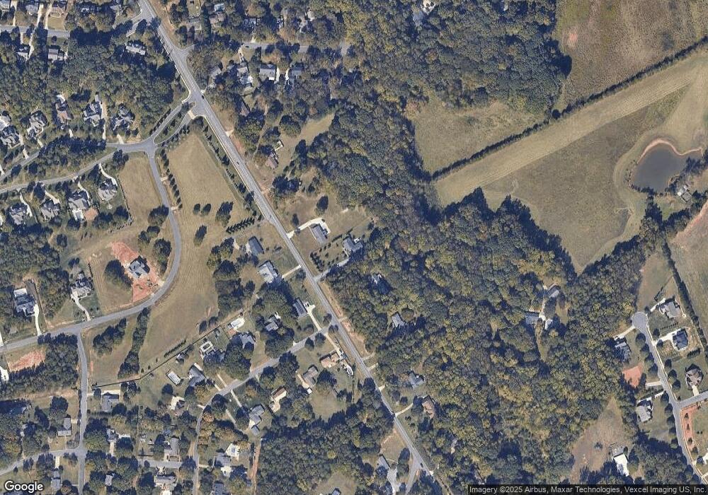
Map
Nearby Homes
- 12314 Lawyers Rd
- 5926 Long Stirrup Ln
- 5827 Long Stirrup Ln
- 6005 Long Stirrup Ln
- 18217 Middle Springs Ln
- 18209 Middle Springs Ln
- Newell Plan at Whitley Preserve - Enclave Collection
- Lemley Plan at Whitley Preserve - Park Collection
- Wyngate Plan at Whitley Preserve - Park Collection
- 12025 Mariner Dr
- Trailwind Plan at Whitley Preserve - Enclave Collection
- Goldrush Plan at Whitley Preserve - Park Collection
- Teasdale Plan at Whitley Preserve - Park Collection
- Whitetail Plan at Whitley Preserve - Enclave Collection
- 17049 Malone Ln
- 2540 Bain Farm Rd
- 4246 Piaffe Ave
- 11917 Shady Oak Ct
- 12017 Mariner Dr
- 6157 Volte Dr Unit 93
- 12119 Lawyers Rd
- 12209 Lawyers Rd
- 2665 Shelburne Place
- 12217 Lawyers Rd
- 12025 Lawyers Rd
- 12120 Lawyers Rd
- 2653 Shelburne Place
- 12001 Lawyers Rd
- 12020 Lawyers Rd
- 12013 Lawyers Rd
- 2654 Shelburne Place
- 12301 Lawyers Rd
- 2642 Shelburne Place
- 7218 Ashbourne Ln
- 7210 Ashbourne Ln
- 11919 Lawyers Rd
- 2630 Shelburne Place
- 2629 Shelburne Place
- 12315 Lawyers Rd
- 12300 Lawyers Rd