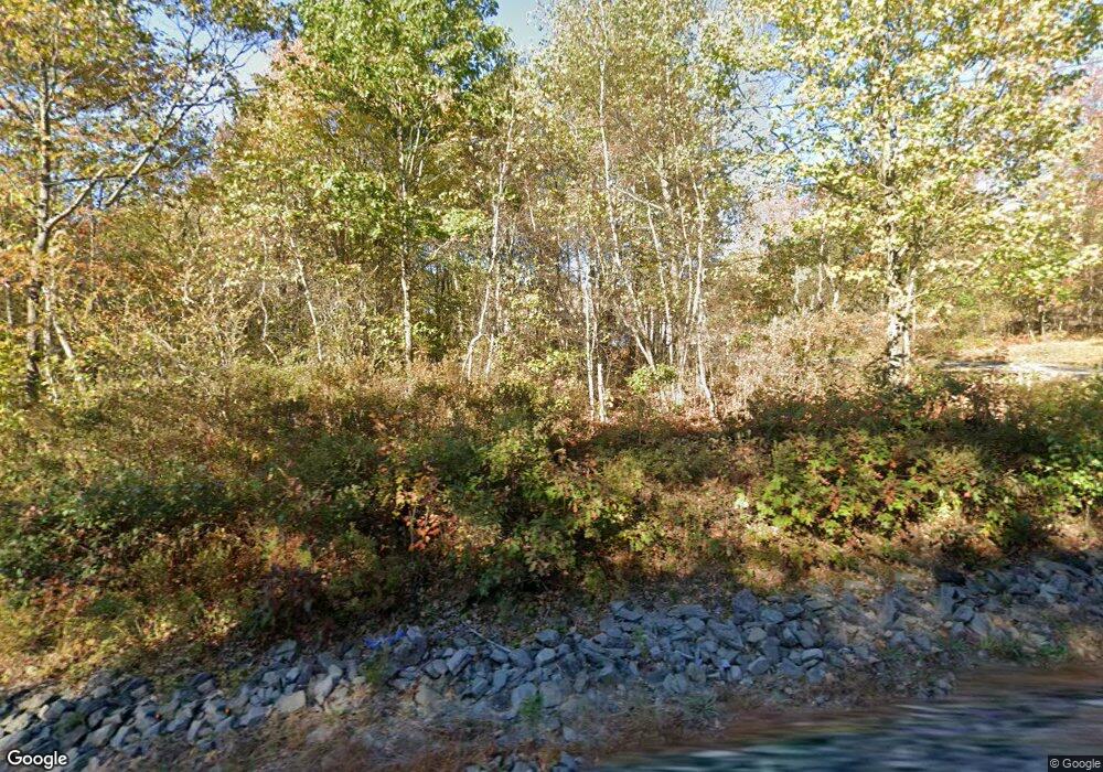
1213 Archbald Mt Rd Archbald, PA 18403
Estimated Value: $379,000 - $674,248
3
Beds
3
Baths
2,750
Sq Ft
$182/Sq Ft
Est. Value
About This Home
This home is located at 1213 Archbald Mt Rd, Archbald, PA 18403 and is currently estimated at $500,312, approximately $181 per square foot. 1213 Archbald Mt Rd is a home located in Lackawanna County with nearby schools including Jefferson El School, Great Bridge Middle School, and North Pocono High School.
Ownership History
Date
Name
Owned For
Owner Type
Purchase Details
Closed on
Aug 26, 2015
Sold by
Skasko Joseph J and Skasko Lisa L
Bought by
Costanzo Joseph T
Current Estimated Value
Home Financials for this Owner
Home Financials are based on the most recent Mortgage that was taken out on this home.
Original Mortgage
$288,000
Outstanding Balance
$226,514
Interest Rate
3.95%
Mortgage Type
New Conventional
Estimated Equity
$273,798
Purchase Details
Closed on
Jan 8, 2009
Sold by
Stafursky Properties Ltd
Bought by
Skasko Joseph J and Skasko Lisa L
Create a Home Valuation Report for This Property
The Home Valuation Report is an in-depth analysis detailing your home's value as well as a comparison with similar homes in the area
Home Values in the Area
Average Home Value in this Area
Purchase History
| Date | Buyer | Sale Price | Title Company |
|---|---|---|---|
| Costanzo Joseph T | $360,000 | None Available | |
| Skasko Joseph J | $57,000 | None Available |
Source: Public Records
Mortgage History
| Date | Status | Borrower | Loan Amount |
|---|---|---|---|
| Open | Costanzo Joseph T | $288,000 |
Source: Public Records
Tax History Compared to Growth
Tax History
| Year | Tax Paid | Tax Assessment Tax Assessment Total Assessment is a certain percentage of the fair market value that is determined by local assessors to be the total taxable value of land and additions on the property. | Land | Improvement |
|---|---|---|---|---|
| 2025 | $7,143 | $26,000 | $5,000 | $21,000 |
| 2024 | $6,027 | $26,000 | $5,000 | $21,000 |
| 2023 | $6,027 | $26,000 | $5,000 | $21,000 |
| 2022 | $5,784 | $26,000 | $5,000 | $21,000 |
| 2021 | $5,697 | $26,000 | $5,000 | $21,000 |
| 2020 | $5,625 | $26,000 | $5,000 | $21,000 |
| 2019 | $5,354 | $26,000 | $5,000 | $21,000 |
| 2018 | $5,268 | $26,000 | $5,000 | $21,000 |
| 2017 | $5,201 | $26,000 | $5,000 | $21,000 |
| 2016 | $3,171 | $26,000 | $5,000 | $21,000 |
| 2015 | -- | $26,000 | $5,000 | $21,000 |
| 2014 | -- | $26,000 | $5,000 | $21,000 |
Source: Public Records
Map
Nearby Homes
- 0 Archbald Mt Rd Unit GSBSC5719
- 70 & 71 Apple St
- 0 Berry Rd
- 0 Joel (Lot 51) Dr Unit GSBSC3079
- 0 Joel (Lot 50) Dr Unit GSBSC3078
- 0 Joel (Lot 34) Dr Unit GSBSC3073
- 0 Jamie (Lot 11) Dr Unit GSBSC3086
- 937 Cortez Rd
- 430 Salem Rd
- 121 Ash St
- 140 Cemetery St
- 00 Hickory St
- 112 Pine St
- 217 219 Laurel St
- 106 Windsor Dr
- 667 Cortez Rd
- 590 N Main St
- 0 Forest Ln
- 0 Joel (Lot 30) Dr
- 1108 Filbert St
- 1213 Archbald Mountain Rd
- 1176 Archbald Mountain Rd
- 0 Archbald Mt Rd Unit GSB23419
- 404 Pierce St
- 1162 Archbald Mt Rd
- 1215 Archbald Mt Rd
- LOT 25 Forest Ln
- 527 Forest Ln
- 1216 Archbald Mt Rd
- 1216 Archbald Mountain Rd
- 1216 Archbald Mt Rd
- 122 Falcon Ln
- 100 Falcon Ln
- 124 Falcon Ln
- 132 Falcon Ln
- 116 Falcon Ln
- 118 Falcon Ln
- 114 Falcon Ln
- 120 Falcon Ln
- 104 Falcon Ln
