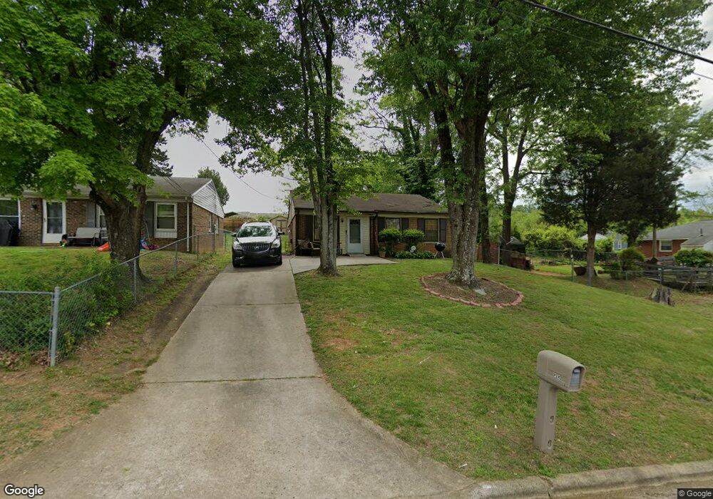
1213 Asheboro St High Point, NC 27260
Greater High Point NeighborhoodEstimated Value: $103,328 - $165,000
3
Beds
1
Bath
1,048
Sq Ft
$138/Sq Ft
Est. Value
About This Home
This home is located at 1213 Asheboro St, High Point, NC 27260 and is currently estimated at $145,082, approximately $138 per square foot. 1213 Asheboro St is a home located in Guilford County with nearby schools including Fairview Elementary School, Ferndale Middle School, and High Point Central High School.
Ownership History
Date
Name
Owned For
Owner Type
Purchase Details
Closed on
Dec 16, 1998
Sold by
Gilmore Harold L
Bought by
Prince James B and Prince Levoris A
Current Estimated Value
Home Financials for this Owner
Home Financials are based on the most recent Mortgage that was taken out on this home.
Original Mortgage
$62,700
Outstanding Balance
$14,513
Interest Rate
7%
Mortgage Type
VA
Estimated Equity
$130,569
Create a Home Valuation Report for This Property
The Home Valuation Report is an in-depth analysis detailing your home's value as well as a comparison with similar homes in the area
Home Values in the Area
Average Home Value in this Area
Purchase History
| Date | Buyer | Sale Price | Title Company |
|---|---|---|---|
| Prince James B | $63,000 | -- |
Source: Public Records
Mortgage History
| Date | Status | Borrower | Loan Amount |
|---|---|---|---|
| Open | Prince James B | $62,700 |
Source: Public Records
Tax History
| Year | Tax Paid | Tax Assessment Tax Assessment Total Assessment is a certain percentage of the fair market value that is determined by local assessors to be the total taxable value of land and additions on the property. | Land | Improvement |
|---|---|---|---|---|
| 2025 | $580 | $42,100 | $8,000 | $34,100 |
| 2024 | $580 | $42,100 | $8,000 | $34,100 |
| 2023 | $580 | $42,100 | $8,000 | $34,100 |
| 2022 | $568 | $42,100 | $8,000 | $34,100 |
| 2021 | $480 | $34,800 | $5,000 | $29,800 |
| 2020 | $480 | $34,800 | $5,000 | $29,800 |
| 2019 | $480 | $34,800 | $0 | $0 |
| 2018 | $0 | $34,800 | $0 | $0 |
| 2017 | $477 | $34,800 | $0 | $0 |
| 2016 | $600 | $42,800 | $0 | $0 |
| 2015 | $603 | $42,800 | $0 | $0 |
| 2014 | $614 | $42,800 | $0 | $0 |
Source: Public Records
Map
Nearby Homes
- 1114 Richland St
- 925 Randolph St
- 1021 Asheboro St
- 1010 Grace St
- 1012 Jefferson St
- 1015 Sharon St
- 909 Randolph St
- 1422 Valley Ridge Dr
- 705 Wise Ave
- 335 Nathan Hunt Dr
- 702 Park St
- 1410 Cloverdale St
- 1504 Cloverdale St
- 1217 Cloverdale St
- 4304 Griffins Gate Ln
- 323 Coltrane Ave
- 308 W Kearns Ave
- 812 E Russell Ave
- 650 Wesley Dr
- 640 Wesley Dr
- 1211 Asheboro St
- 703 E Kearns Ave
- 1209 Asheboro St
- 1207 Asheboro St Unit A&B
- 1207 Asheboro St Unit A
- 1207 Asheboro St
- 1126 Grace St
- 1214 Asheboro St
- 1205 Asheboro St
- 1205 Asheboro St Unit A&B
- 1205 Asheboro St Unit B
- 1122 Grace St
- 1210 Asheboro St Unit 1212
- 1220 Asheboro St
- 1208 Asheboro St
- 1120 Grace St
- 1206 Asheboro St
- 1118 Grace St
- 700 E Kearns Ave
- 1201 Asheboro St
Your Personal Tour Guide
Ask me questions while you tour the home.