Estimated Value: $123,000 - $145,000
3
Beds
1
Bath
1,141
Sq Ft
$115/Sq Ft
Est. Value
About This Home
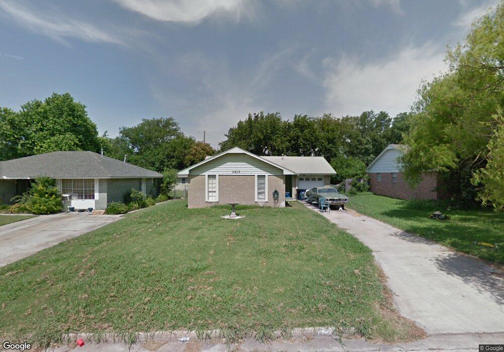
This home is located at 1213 Bernard St, Ada, OK 74820 and is currently estimated at $131,475, approximately $115 per square foot. 1213 Bernard St is a home located in Pontotoc County with nearby schools including ADA Early Childhood Center, Washington Elementary School, and Hayes Elementary School.
Ownership History
Date
Name
Owned For
Owner Type
Purchase Details
Closed on
Aug 17, 2007
Sold by
Deaton Ronald J and Deaton Phnaughn Kathy
Bought by
Oulsey John D
Current Estimated Value
Home Financials for this Owner
Home Financials are based on the most recent Mortgage that was taken out on this home.
Original Mortgage
$54,500
Outstanding Balance
$34,454
Interest Rate
6.72%
Mortgage Type
New Conventional
Estimated Equity
$97,021
Purchase Details
Closed on
Jul 11, 2007
Sold by
Price Felicia Renee and Tatum Vince
Bought by
Deaton Ronald J and Deaton Phnaughn
Home Financials for this Owner
Home Financials are based on the most recent Mortgage that was taken out on this home.
Original Mortgage
$54,500
Outstanding Balance
$34,454
Interest Rate
6.72%
Mortgage Type
New Conventional
Estimated Equity
$97,021
Purchase Details
Closed on
Jul 13, 2001
Sold by
Floyd Morgan Trustee
Bought by
Phnaughn Ronald and Phnaughn Deaton
Create a Home Valuation Report for This Property
The Home Valuation Report is an in-depth analysis detailing your home's value as well as a comparison with similar homes in the area
Purchase History
| Date | Buyer | Sale Price | Title Company |
|---|---|---|---|
| Oulsey John D | $54,500 | None Available | |
| Deaton Ronald J | -- | None Available | |
| Phnaughn Ronald | $47,500 | -- |
Source: Public Records
Mortgage History
| Date | Status | Borrower | Loan Amount |
|---|---|---|---|
| Open | Oulsey John D | $54,500 |
Source: Public Records
Tax History
| Year | Tax Paid | Tax Assessment Tax Assessment Total Assessment is a certain percentage of the fair market value that is determined by local assessors to be the total taxable value of land and additions on the property. | Land | Improvement |
|---|---|---|---|---|
| 2025 | $827 | $8,941 | $2,063 | $6,878 |
| 2024 | $800 | $8,681 | $2,003 | $6,678 |
| 2023 | $800 | $8,428 | $2,000 | $6,428 |
| 2022 | $752 | $8,428 | $2,004 | $6,424 |
| 2021 | $648 | $7,945 | $1,988 | $5,957 |
| 2020 | $644 | $7,713 | $1,914 | $5,799 |
| 2019 | $624 | $7,489 | $1,844 | $5,645 |
| 2018 | $579 | $7,270 | $1,790 | $5,480 |
| 2017 | $522 | $7,059 | $1,705 | $5,354 |
| 2016 | $506 | $6,853 | $1,585 | $5,268 |
| 2015 | $497 | $6,654 | $1,722 | $4,932 |
| 2014 | -- | $6,460 | $300 | $6,160 |
Source: Public Records
Map
Nearby Homes
- 908 W 22nd St
- 904 W 24th St
- 817 Charles Dr
- 820 Charles Dr
- 0000 Vacant Land (Address Tbd) Rd
- 705 W 20th St
- 730 W 19th St
- 620 W 23rd St
- 515 W Kings Rd
- 0 County Road 1560 St Unit 2606004
- 931 W 14th St
- 812 S Johnston St
- 1312 S Cherry St
- 427 W 18th St
- 600 W 16th St
- 817 S Stockton St
- 301 S Hickory St
- 500 W 16th St
- 912 W 13th St
- 729 W 13th St
Your Personal Tour Guide
Ask me questions while you tour the home.