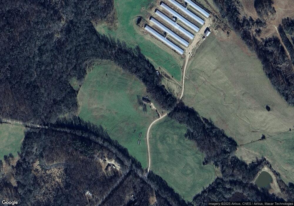
1213 Brown Bridge Rd Commerce, GA 30530
Estimated Value: $335,875 - $375,000
3
Beds
2
Baths
1,740
Sq Ft
$203/Sq Ft
Est. Value
About This Home
This home is located at 1213 Brown Bridge Rd, Commerce, GA 30530 and is currently estimated at $352,969, approximately $202 per square foot. 1213 Brown Bridge Rd is a home located in Banks County with nearby schools including Banks County Primary School, Banks County Elementary School, and Banks County Middle School.
Ownership History
Date
Name
Owned For
Owner Type
Purchase Details
Closed on
Mar 10, 2021
Sold by
Mitchell Kip
Bought by
Strickland Kellie Renee
Current Estimated Value
Home Financials for this Owner
Home Financials are based on the most recent Mortgage that was taken out on this home.
Original Mortgage
$109,500
Outstanding Balance
$98,209
Interest Rate
2.73%
Mortgage Type
New Conventional
Estimated Equity
$254,760
Create a Home Valuation Report for This Property
The Home Valuation Report is an in-depth analysis detailing your home's value as well as a comparison with similar homes in the area
Home Values in the Area
Average Home Value in this Area
Purchase History
| Date | Buyer | Sale Price | Title Company |
|---|---|---|---|
| Strickland Kellie Renee | -- | -- |
Source: Public Records
Mortgage History
| Date | Status | Borrower | Loan Amount |
|---|---|---|---|
| Open | Strickland Kellie Renee | $109,500 |
Source: Public Records
Tax History Compared to Growth
Tax History
| Year | Tax Paid | Tax Assessment Tax Assessment Total Assessment is a certain percentage of the fair market value that is determined by local assessors to be the total taxable value of land and additions on the property. | Land | Improvement |
|---|---|---|---|---|
| 2024 | $2,319 | $119,700 | $16,876 | $102,824 |
| 2023 | $2,319 | $104,419 | $18,008 | $86,411 |
| 2022 | $1,881 | $89,523 | $14,784 | $74,739 |
| 2021 | $1,735 | $79,668 | $11,373 | $68,295 |
| 2020 | $1,637 | $73,377 | $8,362 | $65,015 |
| 2019 | $1,750 | $77,939 | $8,362 | $69,577 |
| 2018 | $1,153 | $51,200 | $7,602 | $43,598 |
| 2017 | $1,163 | $49,585 | $5,850 | $43,735 |
| 2016 | $1,196 | $49,585 | $5,850 | $43,735 |
| 2015 | $1,222 | $49,585 | $5,850 | $43,735 |
| 2014 | $1,222 | $53,799 | $10,064 | $43,735 |
| 2013 | -- | $53,799 | $10,064 | $43,735 |
Source: Public Records
Map
Nearby Homes
- 166 Freedom Ln
- 163 M t Trail
- 482 Hooper Rd
- 0 Freedom Ln Unit 18C 10380663
- 0 Freedom Ln Unit 18B 10379747
- 461 Chambers Rd
- 130 Rucker Rd
- 119 Gordon Rd
- 1679 Fort Lamar Rd
- 140 Buckeye Trails Dr
- 0 Carson Rd Unit 7640890
- 0 Carson Rd Unit LOT 32 10594149
- 132 Buckeye Point
- 145 Manor Place
- 132 Millstone Dr
- 731 Borders Rd
- 151 Dan Waters Dr
- 133 Pine Needle Dr
- 1073 We King Rd
- 161 Meadow Lake Dr
- 0 Beaver Creek Dr Unit 8 7583157
- 0 Beaver Creek Dr Unit 8708360
- 0 Beaver Creek Dr Unit 8716175
- 0 Beaver Creek Dr Unit Tr 15 8893761
- 0 Beaver Creek Dr Unit 8284940
- 1343 Brown Bridge Rd
- 1156 Brown Bridge Rd
- 131 Beaver Creek Dr
- 1198 Brown Bridge Rd
- 148 Beaver Creek Dr
- 151 Beaver Creek Dr
- 159 Beaver Creek Dr
- 255 Beaver Creek Dr Unit 8
- 242 Beaver Creek Dr
- 299 Beaver Creek Dr
- 1375 Brown Bridge Rd
- 1002 Brown Bridge Rd
- 1557 Brown Bridge Rd
- 1 Brown Bridge Rd
- 1457 Highway 326
