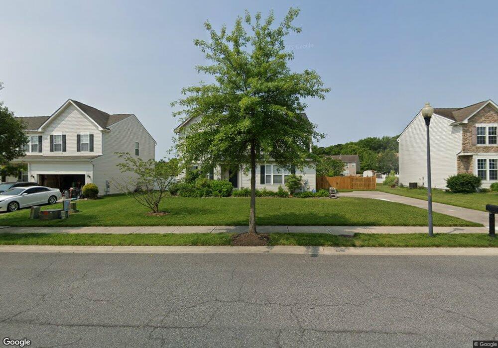
1213 Cattail Commons Way Denton, MD 21629
Estimated Value: $368,133 - $433,000
--
Bed
3
Baths
2,472
Sq Ft
$163/Sq Ft
Est. Value
About This Home
This home is located at 1213 Cattail Commons Way, Denton, MD 21629 and is currently estimated at $402,033, approximately $162 per square foot. 1213 Cattail Commons Way is a home located in Caroline County with nearby schools including Denton Elementary School, Lockerman Middle School, and North Caroline High School.
Ownership History
Date
Name
Owned For
Owner Type
Purchase Details
Closed on
Feb 16, 2006
Sold by
Ryl& Group Inc
Bought by
Urrutia Lewis K And and Urrutia Karen F
Current Estimated Value
Home Financials for this Owner
Home Financials are based on the most recent Mortgage that was taken out on this home.
Original Mortgage
$226,985
Outstanding Balance
$128,313
Interest Rate
6.27%
Mortgage Type
Purchase Money Mortgage
Estimated Equity
$273,720
Purchase Details
Closed on
Jan 30, 2006
Sold by
Ryl& Group Inc
Bought by
Urrutia Lewis K And and Urrutia Karen F
Home Financials for this Owner
Home Financials are based on the most recent Mortgage that was taken out on this home.
Original Mortgage
$226,985
Outstanding Balance
$128,313
Interest Rate
6.27%
Mortgage Type
Purchase Money Mortgage
Estimated Equity
$273,720
Purchase Details
Closed on
Sep 28, 2005
Sold by
Garl& & Hobbs Llc
Bought by
Ryland Group Inc
Create a Home Valuation Report for This Property
The Home Valuation Report is an in-depth analysis detailing your home's value as well as a comparison with similar homes in the area
Home Values in the Area
Average Home Value in this Area
Purchase History
| Date | Buyer | Sale Price | Title Company |
|---|---|---|---|
| Urrutia Lewis K And | $283,732 | -- | |
| Urrutia Lewis K And | $283,732 | -- | |
| Ryland Group Inc | $134,000 | -- |
Source: Public Records
Mortgage History
| Date | Status | Borrower | Loan Amount |
|---|---|---|---|
| Open | Urrutia Lewis K And | $226,985 | |
| Closed | Urrutia Lewis K And | $226,985 |
Source: Public Records
Tax History Compared to Growth
Tax History
| Year | Tax Paid | Tax Assessment Tax Assessment Total Assessment is a certain percentage of the fair market value that is determined by local assessors to be the total taxable value of land and additions on the property. | Land | Improvement |
|---|---|---|---|---|
| 2025 | $4,512 | $346,400 | $42,100 | $304,300 |
| 2024 | $4,382 | $314,833 | $0 | $0 |
| 2023 | $4,258 | $283,267 | $0 | $0 |
| 2022 | $4,117 | $251,700 | $42,100 | $209,600 |
| 2021 | $3,848 | $236,033 | $0 | $0 |
| 2020 | $3,848 | $220,367 | $0 | $0 |
| 2019 | $3,689 | $204,700 | $25,600 | $179,100 |
| 2018 | $3,643 | $203,267 | $0 | $0 |
| 2017 | $3,576 | $201,833 | $0 | $0 |
| 2016 | -- | $200,400 | $0 | $0 |
| 2015 | $3,128 | $199,933 | $0 | $0 |
| 2014 | $3,128 | $199,467 | $0 | $0 |
Source: Public Records
Map
Nearby Homes
- 1233 Painted Fern Rd
- 1612 Cattail Commons Way
- 1111 Ruddy Duck Ct
- 1403 Blue Heron Dr
- 1626 Blue Heron Dr
- 1202 Blue Heron Dr
- 1105 Market St
- 106 Briarwood Cir
- 1005 Market St
- 804 Gay St
- 800 Gay St
- 406 Morning Glory Dr
- 536 Gay St
- 501 Lincoln St
- 106 S 6th St
- 307 Academy Ave
- 121 Edenton Ln
- 311 Kerr Ave
- 318 Carter Ave
- 208 S 3rd St
- 1211 Cattail Commons Way
- 1301 Cattail Commons Way
- 1209 Cattail Commons Way
- 1300 Cattail Commons Way
- 1303 Cattail Commons Way
- 1214 Cattail Commons Way
- 1212 Cattail Commons Way
- 1202 Foster Holly Ct
- 1204 Foster Holly Ct
- 1305 Cattail Commons Way
- 1302 Cattail Commons Way
- 1206 Foster Holly Ct
- 1210 Cattail Commons Way
- 1205 Cattail Commons Way
- 1200 Foster Holly Ct
- 1120 Foster Holly Ct
- 1304 Cattail Commons Way
- 1208 Cattail Commons Way
- 1105 Weeping Willow Ct
- 1107 Weeping Willow Ct