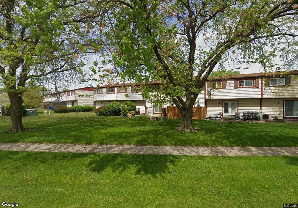
1213 Cedarwood Dr Unit D Crest Hill, IL 60403
Estimated Value: $153,000 - $183,000
2
Beds
2
Baths
1,458
Sq Ft
$115/Sq Ft
Est. Value
About This Home
This home is located at 1213 Cedarwood Dr Unit D, Crest Hill, IL 60403 and is currently estimated at $168,292, approximately $115 per square foot. 1213 Cedarwood Dr Unit D is a home located in Will County with nearby schools including Troy Craughwell Elementary School, Troy Middle School, and Orenic Intermediate School.
Ownership History
Date
Name
Owned For
Owner Type
Purchase Details
Closed on
Dec 8, 2005
Sold by
Shelby Debra M and Shelby Ronnie
Bought by
Glaze Lori
Current Estimated Value
Home Financials for this Owner
Home Financials are based on the most recent Mortgage that was taken out on this home.
Original Mortgage
$96,900
Outstanding Balance
$60,300
Interest Rate
8.25%
Mortgage Type
Unknown
Estimated Equity
$107,992
Create a Home Valuation Report for This Property
The Home Valuation Report is an in-depth analysis detailing your home's value as well as a comparison with similar homes in the area
Home Values in the Area
Average Home Value in this Area
Purchase History
| Date | Buyer | Sale Price | Title Company |
|---|---|---|---|
| Glaze Lori | $114,000 | -- |
Source: Public Records
Mortgage History
| Date | Status | Borrower | Loan Amount |
|---|---|---|---|
| Open | Glaze Lori | $96,900 |
Source: Public Records
Tax History Compared to Growth
Tax History
| Year | Tax Paid | Tax Assessment Tax Assessment Total Assessment is a certain percentage of the fair market value that is determined by local assessors to be the total taxable value of land and additions on the property. | Land | Improvement |
|---|---|---|---|---|
| 2024 | $3,355 | $45,140 | $3,714 | $41,426 |
| 2023 | $3,355 | $40,557 | $3,337 | $37,220 |
| 2022 | $3,115 | $31,029 | $3,158 | $27,871 |
| 2021 | $2,206 | $29,190 | $2,971 | $26,219 |
| 2020 | $2,214 | $29,190 | $2,971 | $26,219 |
| 2019 | $2,109 | $28,000 | $2,850 | $25,150 |
| 2018 | $2,079 | $27,100 | $2,850 | $24,250 |
| 2017 | $2,057 | $26,493 | $2,850 | $23,643 |
| 2016 | $2,127 | $26,493 | $2,850 | $23,643 |
| 2015 | $2,444 | $25,050 | $2,850 | $22,200 |
| 2014 | $2,444 | $25,137 | $2,850 | $22,287 |
| 2013 | $2,444 | $29,925 | $2,850 | $27,075 |
Source: Public Records
Map
Nearby Homes
- 1219 Cedarwood Dr Unit B
- 1221 Cedarwood Dr Unit F
- 2508 Meer Park Ct Unit 151
- 2558 Grant Park Ct Unit 21
- 7 Rock Run Dr
- 1099 Gael Dr
- 1125 Magnolia Dr
- 8 Rock Run Dr
- 2390 Bicentennial Ave
- 1115 Brentwood Place
- 1109 Pearson Dr
- 1521 Pioneer Rd Unit 7
- 3107 Ingalls Ave Unit 3B
- 3107 Ingalls Ave Unit 1D
- 3001 Theodore St
- 1112 Rosary Ln
- 2528 Silver Rock Dr
- 3119 Ingalls Ave Unit 2A
- 1802 Maserati Dr
- 1810 Foxfield Dr
- 1213 Cedarwood Dr Unit A
- 1213 Cedarwood Dr
- 1213 Cedarwood Dr Unit C
- 1213 Cedarwood Dr Unit B
- 1213 Cedarwood Dr Unit E
- 1211 Cedarwood Dr
- 1211 Cedarwood Dr Unit A
- 1211 Cedarwood Dr Unit F
- 1211 Cedarwood Dr Unit C
- 1211 Cedarwood Dr Unit B
- 1211 Cedarwood Dr
- 1211 Cedarwood Dr Unit D
- 1219 Cedarwood Dr Unit F
- 1219 Cedarwood Dr Unit 156
- 1219 Cedarwood Dr Unit C
- 1219 Cedarwood Dr Unit A
- 1219 Cedarwood Dr
- 1209 Cedarwood Dr Unit D
- 1209 Cedarwood Dr Unit A
- 1209 Cedarwood Dr Unit C