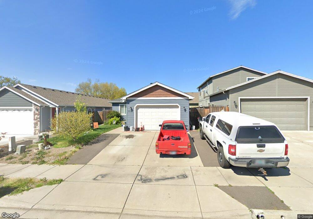
1213 Crown Ave Central Point, OR 97502
Estimated Value: $336,000 - $385,000
3
Beds
2
Baths
1,366
Sq Ft
$256/Sq Ft
Est. Value
About This Home
This home is located at 1213 Crown Ave, Central Point, OR 97502 and is currently estimated at $349,625, approximately $255 per square foot. 1213 Crown Ave is a home with nearby schools including Jewett Elementary School, Scenic Middle School, and Crater High School.
Ownership History
Date
Name
Owned For
Owner Type
Purchase Details
Closed on
Jun 29, 2010
Sold by
Habitat For Humanity/Rogue Valley
Bought by
Benton Joseph and Benton Christina
Current Estimated Value
Purchase Details
Closed on
Jan 6, 2010
Sold by
Behnke Rush G and Hartung Behnke Tara D
Bought by
Habitat For Humanity
Purchase Details
Closed on
Jan 10, 2008
Sold by
Grout & Associates Llc
Bought by
Behnke Rush G and Hartung Bahnke Tara D
Create a Home Valuation Report for This Property
The Home Valuation Report is an in-depth analysis detailing your home's value as well as a comparison with similar homes in the area
Home Values in the Area
Average Home Value in this Area
Purchase History
| Date | Buyer | Sale Price | Title Company |
|---|---|---|---|
| Benton Joseph | $147,400 | None Available | |
| Habitat For Humanity | $30,000 | Accommodation | |
| Behnke Rush G | $50,000 | Lawyers Title Ins |
Source: Public Records
Mortgage History
| Date | Status | Borrower | Loan Amount |
|---|---|---|---|
| Closed | Benton Joseph | $0 |
Source: Public Records
Tax History Compared to Growth
Tax History
| Year | Tax Paid | Tax Assessment Tax Assessment Total Assessment is a certain percentage of the fair market value that is determined by local assessors to be the total taxable value of land and additions on the property. | Land | Improvement |
|---|---|---|---|---|
| 2025 | $3,377 | $178,440 | $92,980 | $85,460 |
| 2024 | $3,377 | $173,250 | $90,270 | $82,980 |
| 2023 | $3,259 | $168,210 | $87,640 | $80,570 |
| 2022 | $3,176 | $168,210 | $87,640 | $80,570 |
| 2021 | $3,023 | $163,320 | $85,090 | $78,230 |
| 2020 | $2,962 | $158,570 | $82,620 | $75,950 |
| 2019 | $2,895 | $149,480 | $77,870 | $71,610 |
| 2018 | $2,501 | $141,500 | $25,070 | $116,430 |
| 2017 | $2,503 | $141,500 | $25,070 | $116,430 |
| 2016 | $2,175 | $132,120 | $23,220 | $108,900 |
| 2015 | $1,982 | $119,080 | $20,930 | $98,150 |
| 2014 | $1,875 | $114,180 | $19,740 | $94,440 |
Source: Public Records
Map
Nearby Homes
- 1010 N 3rd St
- 4626 N Pacific Hwy
- 4035 Rock Way
- 905 Comet Ave
- 920 N 10th St
- 356 Marian Ave Unit 40
- 327 Brookhaven Dr
- 55 Crater Ln
- 335 Applewood Dr
- 741 Hazel St
- 833 Hazel St
- 1167 Boulder Ridge St
- 426 Bridge Creek Dr
- 342 Hazel St
- 431 N 5th St
- 0 Peninger Rd
- 405 N 9th St
- 526 Stone Pointe Dr
- 422 Castle Rock Dr
- 413 Sand Pointe Dr
- 1213 Crown Ave Unit Lot12
- 1217 Crown Ave Unit Lot13
- 1217 Crown Ave
- 1209 Crown Ave Unit Lot11
- 1209 Crown Ave
- 230 Aurora Ln Unit Lot14
- 230 Aurora Ln
- 1205 Crown Ave
- 232 Aurora Ln Unit Lot15
- 232 Aurora Ln
- 203 Victoria Way
- 205 Victoria Way
- 120 Aurora Ln Unit Lot10
- 120 Aurora Ln
- 234 Aurora Ln Unit Lot16
- 234 Aurora Ln
- 1210 Crown Ave
- 118 Aurora Ln Unit Lot 9
- 118 Aurora Ln
- 236 Aurora Ln Unit Lot17