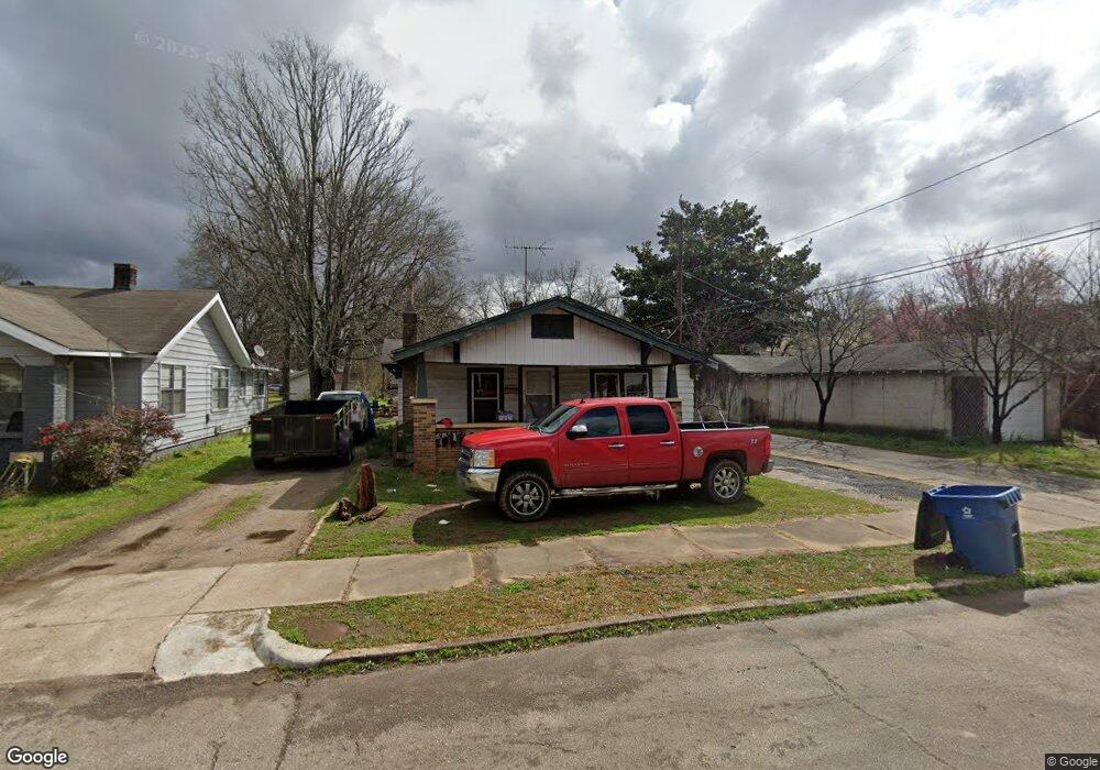
1213 Hanover St Birmingham, AL 35217
Estimated Value: $80,570 - $96,000
3
Beds
1
Bath
1,148
Sq Ft
$78/Sq Ft
Est. Value
About This Home
This home is located at 1213 Hanover St, Birmingham, AL 35217 and is currently estimated at $89,893, approximately $78 per square foot. 1213 Hanover St is a home located in Jefferson County with nearby schools including Tarrant Elementary School, Tarrant Intermediate School, and Tarrant High School.
Ownership History
Date
Name
Owned For
Owner Type
Purchase Details
Closed on
Jan 6, 2022
Sold by
Carr Management Grp Llc
Bought by
Sfr 2 Llc
Current Estimated Value
Purchase Details
Closed on
Apr 22, 2019
Sold by
Kc Properties Ii Llc
Bought by
Carr Management Grp Llc
Purchase Details
Closed on
Dec 13, 2013
Sold by
Crumpton Keith
Bought by
Kc Properties Ii Llc
Purchase Details
Closed on
Sep 24, 2003
Sold by
Hall Stephen W and Hall Daryl J
Bought by
Crumpton Keith
Create a Home Valuation Report for This Property
The Home Valuation Report is an in-depth analysis detailing your home's value as well as a comparison with similar homes in the area
Home Values in the Area
Average Home Value in this Area
Purchase History
| Date | Buyer | Sale Price | Title Company |
|---|---|---|---|
| Sfr 2 Llc | $6,500,000 | -- | |
| Carr Management Grp Llc | $926,304 | -- | |
| Kc Properties Ii Llc | -- | -- | |
| Crumpton Keith | $48,000 | -- |
Source: Public Records
Tax History Compared to Growth
Tax History
| Year | Tax Paid | Tax Assessment Tax Assessment Total Assessment is a certain percentage of the fair market value that is determined by local assessors to be the total taxable value of land and additions on the property. | Land | Improvement |
|---|---|---|---|---|
| 2024 | $636 | $11,280 | -- | -- |
| 2022 | $465 | $8,240 | $2,940 | $5,300 |
| 2021 | $505 | $8,960 | $2,940 | $6,020 |
| 2020 | $485 | $8,600 | $2,940 | $5,660 |
| 2019 | $554 | $9,820 | $0 | $0 |
| 2018 | $486 | $8,620 | $0 | $0 |
| 2017 | $486 | $8,620 | $0 | $0 |
| 2016 | $464 | $8,220 | $0 | $0 |
| 2015 | $566 | $8,620 | $0 | $0 |
| 2014 | $559 | $9,280 | $0 | $0 |
| 2013 | $559 | $9,280 | $0 | $0 |
Source: Public Records
Map
Nearby Homes
- 1213 Maple St
- 1265 Maple St
- 1338 Park Ave
- 5021 41st Way N
- 1377 Fulton Ave
- 1211 Finley St
- 4208 50th Ave N
- 4304 51st Ave N Unit 5
- 5005 42nd Place N
- 4966 Brittain St
- 4924 Brittain St
- 725 Fulton Ave
- 717 Jackson Blvd
- 1147 Westley St
- 4337 50th Ave N
- 1245 Waverly St
- 1424 Burlington Ave
- 4941 43rd Way N
- 621 Bell Ave
- 1021 Waverly St