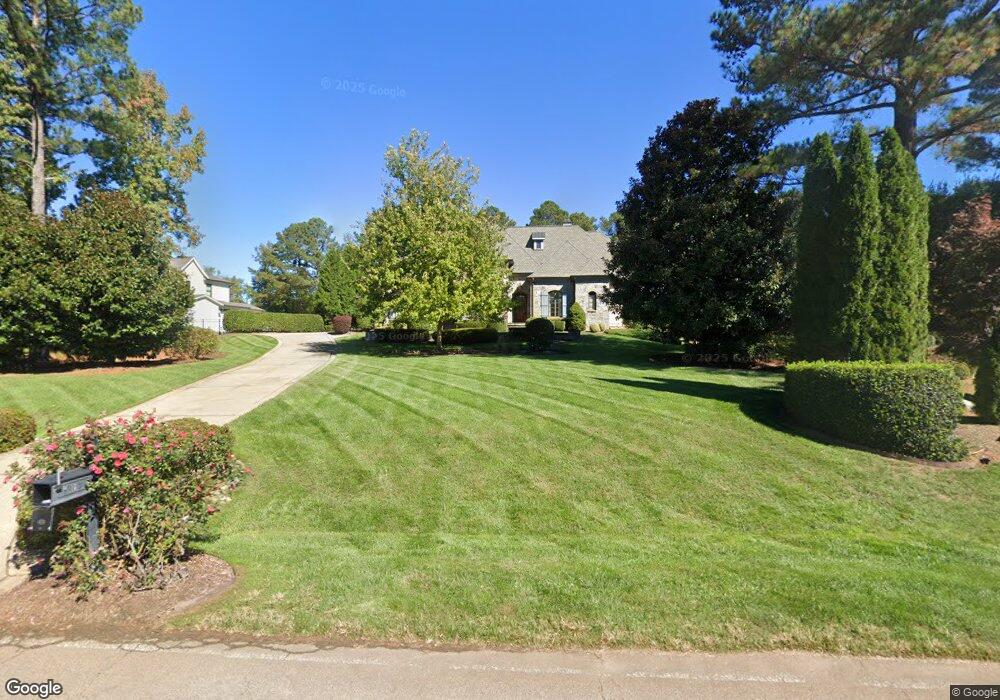
1213 Keith Rd Unit Lt 42 Wake Forest, NC 27587
Falls Lake NeighborhoodEstimated Value: $1,498,000 - $1,842,126
4
Beds
5
Baths
5,719
Sq Ft
$292/Sq Ft
Est. Value
About This Home
This home is located at 1213 Keith Rd Unit Lt 42, Wake Forest, NC 27587 and is currently estimated at $1,669,709, approximately $291 per square foot. 1213 Keith Rd Unit Lt 42 is a home located in Wake County with nearby schools including North Forest Pines Elementary School, Wakefield Middle, and Wakefield High School.
Ownership History
Date
Name
Owned For
Owner Type
Purchase Details
Closed on
Oct 1, 2008
Sold by
Sundance Development Co Inc
Bought by
Whalen Michael R and Whalen Rita M
Current Estimated Value
Home Financials for this Owner
Home Financials are based on the most recent Mortgage that was taken out on this home.
Original Mortgage
$1,000,000
Outstanding Balance
$665,617
Interest Rate
6.45%
Mortgage Type
Purchase Money Mortgage
Estimated Equity
$1,004,092
Create a Home Valuation Report for This Property
The Home Valuation Report is an in-depth analysis detailing your home's value as well as a comparison with similar homes in the area
Home Values in the Area
Average Home Value in this Area
Purchase History
We collect this data history from publicly available records. To have your information removed, we recommend requesting removal directly through your county’s website.
| Date | Buyer | Sale Price | Title Company |
|---|---|---|---|
| Whalen Michael R | $1,630,000 | None Available |
Source: Public Records
Mortgage History
We collect this data history from publicly available records. To have your information removed, we recommend requesting removal directly through your county’s website.
| Date | Status | Borrower | Loan Amount |
|---|---|---|---|
| Open | Whalen Michael R | $1,000,000 |
Source: Public Records
Tax History
| Year | Tax Paid | Tax Assessment Tax Assessment Total Assessment is a certain percentage of the fair market value that is determined by local assessors to be the total taxable value of land and additions on the property. | Land | Improvement |
|---|---|---|---|---|
| 2025 | $10,827 | $1,689,574 | $493,750 | $1,195,824 |
| 2024 | $10,512 | $1,689,574 | $493,750 | $1,195,824 |
Source: Public Records
Map
Nearby Homes
- 7303 Stony Hill Rd
- 1309 Eagleson Ln
- 7425 Laurel Crest Dr
- 1313 Eagleson Ln
- 7228 Ledford Grove Ln
- 1008 High Trail Ct
- 7816 Hasentree Lake Dr
- 1429 Blantons Creek Dr
- 7029 Hasentree Way
- 9824 Cloey Dr
- 1305 Glennis Ct
- 7517 Everton Way
- 804 Dragonfly Pond Way
- 1232 Rivermead Ln
- 1733 Hasentree Villa Ln
- 604 Serena Place
- 1752 Hasentree Villa Ln
- 2100 Kinsale Meadow Ln
- 7312 Hasentree Way
- 8041 Keyland Place
- 1213 Keith Rd
- 1217 Keith Rd
- 1209 Keith Rd
- 0 Keith Rd Unit 1739869
- 0 Keith Rd Unit 1790430
- 820 Keith Rd
- 0 Keith Rd Unit 626 TR1790430
- 0 Keith Rd Unit 626 1739869
- 820 Keith Rd Unit 626
- 1221 Keith Rd
- 1221 Keith Rd Unit 44
- 1205 Keith Rd
- 1225 Keith Rd
- 1225 Keith Rd Unit 45
- 7204 Hasentree Club Dr
- 1229 Keith Rd
- 1229 Keith Rd Unit 46
- 7120 Hasentree Club Dr Unit 17
- 7120 Hasentree Club Dr
- 7116 Hasentree Club Dr
Your Personal Tour Guide
Ask me questions while you tour the home.