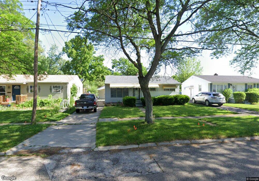
1213 Mohawk Ave Flint, MI 48507
Circle Neighborhood NeighborhoodEstimated Value: $52,000 - $78,000
3
Beds
2
Baths
936
Sq Ft
$66/Sq Ft
Est. Value
About This Home
This home is located at 1213 Mohawk Ave, Flint, MI 48507 and is currently estimated at $62,167, approximately $66 per square foot. 1213 Mohawk Ave is a home located in Genesee County with nearby schools including Freeman Elementary School, Flint Southwestern Classical Academy, and Burton Glen Charter Academy.
Ownership History
Date
Name
Owned For
Owner Type
Purchase Details
Closed on
Oct 22, 2015
Sold by
Walker Michael T
Bought by
Tran Johnny
Current Estimated Value
Purchase Details
Closed on
Jun 19, 2012
Sold by
Hazen Phillip L
Bought by
Walker Michael T
Purchase Details
Closed on
Apr 29, 2010
Sold by
Hazen Phillip L and Estate Of Agnes Ida Hazen
Bought by
Hazen Phillip L
Purchase Details
Closed on
Apr 13, 2010
Sold by
Estate Of Agnes I Hazen
Bought by
Hazen Phillip L
Purchase Details
Closed on
Nov 2, 2000
Sold by
Hazen A I Hazen and Hazen L Hazen P
Bought by
Hazen Phillip L
Create a Home Valuation Report for This Property
The Home Valuation Report is an in-depth analysis detailing your home's value as well as a comparison with similar homes in the area
Home Values in the Area
Average Home Value in this Area
Purchase History
| Date | Buyer | Sale Price | Title Company |
|---|---|---|---|
| Tran Johnny | $11,500 | Attorney | |
| Walker Michael T | $5,000 | None Available | |
| Hazen Phillip L | -- | None Available | |
| Hazen Phillip L | -- | Cislo Title Company | |
| Hazen Phillip L | -- | First American Title Ins Co |
Source: Public Records
Tax History
| Year | Tax Paid | Tax Assessment Tax Assessment Total Assessment is a certain percentage of the fair market value that is determined by local assessors to be the total taxable value of land and additions on the property. | Land | Improvement |
|---|---|---|---|---|
| 2025 | $1,019 | $29,200 | $0 | $0 |
| 2024 | $946 | $25,800 | $0 | $0 |
| 2023 | $927 | $20,000 | $0 | $0 |
| 2022 | $0 | $14,500 | $0 | $0 |
| 2021 | $938 | $11,200 | $0 | $0 |
| 2020 | $866 | $10,900 | $0 | $0 |
| 2019 | $1,212 | $9,400 | $0 | $0 |
| 2018 | $2,023 | $9,200 | $0 | $0 |
| 2017 | $997 | $0 | $0 | $0 |
| 2016 | $807 | $0 | $0 | $0 |
| 2015 | -- | $0 | $0 | $0 |
| 2014 | -- | $0 | $0 | $0 |
| 2012 | -- | $16,100 | $0 | $0 |
Source: Public Records
Map
Nearby Homes
- 2910 Shawnee Ave
- 3209 Shawnee Ave
- 3115 Circle Dr
- 3505 Comanche Ave
- 3222 Chambers St
- 3056 Shaw St
- 3277 Sayre Ct
- 2210 S Term St
- 2033 Seymour Ave
- 630 Buckingham Ave
- 621 Burroughs Ave
- 1930 Owen St
- 9211 Owen St
- 2221 Howard Ave
- 3128 Ludwig St
- 2029 Winans Ave
- 1840 Mcphail St
- 1925 Gilmartin St
- 621 Lochhead Ave
- 2224 Crocker Ave
- 1217 Mohawk Ave
- 1209 Mohawk Ave
- 1301 Mohawk Ave
- 1205 Mohawk Ave
- 1210 Mohawk Ave
- 1305 Mohawk Ave
- 1201 Mohawk Ave
- 1202 Mohawk Ave
- 1117 Mohawk Ave
- 2910 Menominee Ave
- 1302 Mohawk Ave
- 2909 Cheyenne Ave
- 1113 Mohawk Ave
- 2914 Menominee Ave
- 2909 Menominee Ave
- 1109 Mohawk Ave
- 2913 Menominee Ave
- 1110 Mohawk Ave
- 2918 Menominee Ave
- 2917 Cheyenne Ave
Your Personal Tour Guide
Ask me questions while you tour the home.