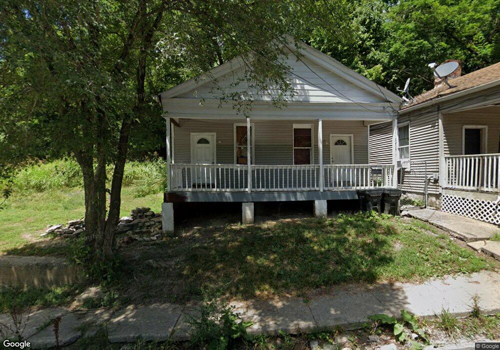
1213 Neff Ave Cincinnati, OH 45204
East Price Hill NeighborhoodEstimated Value: $81,000 - $136,000
3
Beds
1
Bath
1,026
Sq Ft
$105/Sq Ft
Est. Value
About This Home
This home is located at 1213 Neff Ave, Cincinnati, OH 45204 and is currently estimated at $107,643, approximately $104 per square foot. 1213 Neff Ave is a home located in Hamilton County with nearby schools including Oyler School, Robert A. Taft Information Technology High School, and Gilbert A. Dater High School.
Ownership History
Date
Name
Owned For
Owner Type
Purchase Details
Closed on
Jun 21, 2018
Sold by
Estate Of Cheryl L Lanham
Bought by
Ambrose Daniel and Ambrose Jason
Current Estimated Value
Purchase Details
Closed on
Oct 9, 2003
Sold by
Keim Robert
Bought by
Lanham Cheryl Lynn
Purchase Details
Closed on
Nov 10, 1997
Sold by
Gee David R and Gee David R
Bought by
Keim Robert and 1215 Denver Land Trust
Purchase Details
Closed on
May 2, 1996
Sold by
Williams Carol
Bought by
Gee David
Create a Home Valuation Report for This Property
The Home Valuation Report is an in-depth analysis detailing your home's value as well as a comparison with similar homes in the area
Home Values in the Area
Average Home Value in this Area
Purchase History
| Date | Buyer | Sale Price | Title Company |
|---|---|---|---|
| Ambrose Daniel | -- | None Available | |
| Lanham Cheryl Lynn | $18,100 | -- | |
| Keim Robert | -- | -- | |
| Gee David | $2,000 | -- |
Source: Public Records
Tax History
| Year | Tax Paid | Tax Assessment Tax Assessment Total Assessment is a certain percentage of the fair market value that is determined by local assessors to be the total taxable value of land and additions on the property. | Land | Improvement |
|---|---|---|---|---|
| 2025 | $1,536 | $13,098 | $1,439 | $11,659 |
| 2024 | $790 | $13,098 | $1,439 | $11,659 |
| 2023 | $808 | $13,098 | $1,439 | $11,659 |
| 2022 | $437 | $6,293 | $1,260 | $5,033 |
| 2021 | $418 | $6,293 | $1,260 | $5,033 |
| 2020 | $430 | $6,293 | $1,260 | $5,033 |
| 2019 | $427 | $5,720 | $1,145 | $4,575 |
| 2018 | $428 | $5,720 | $1,145 | $4,575 |
| 2017 | $406 | $5,720 | $1,145 | $4,575 |
| 2016 | $373 | $5,159 | $1,162 | $3,997 |
| 2015 | $337 | $5,159 | $1,162 | $3,997 |
| 2014 | $339 | $5,159 | $1,162 | $3,997 |
| 2013 | $440 | $6,612 | $1,488 | $5,124 |
Source: Public Records
Map
Nearby Homes
- 2425 Glenway Ave
- 2360 Wilder Ave
- 2485 Warsaw Ave
- 2358 Glenway Ave
- 2519 Warsaw Ave
- 2540 Ring Place
- 2829 Glenway Ave
- 1646 State Ave
- 2430 Maryland Ave
- 1114 Wing St
- 2152 Staebler St
- 1030 Considine Ave
- 720 Grand Ave
- 817 Hawthorne Ave
- 309 Mount Hope Ave
- 3200 Glenway Ave
- 1669 State Ave
- 1015 Purcell Ave
- 1671 State Ave
- 3321 Glenway Ave
- 1209 Neff Ave
- 1219 Neff Ave
- 1223 Neff Ave
- 1207 Neff Ave
- 2524 Glenway Ave
- 2600 Glenway Ave
- 1225 Neff Ave
- 2520 Glenway Ave
- 2608 Glenway Ave
- 2522 Glenway Ave
- 2514 Glenway Ave
- 1222 Neff Ave
- 2518 Glenway Ave
- 2518 Glenway Ave
- 2318 Wilder Ave
- 1233 Neff Ave
- 2324 Wilder Ave
- 1037 State Ave
- 1041 State Ave
- 1047 State Ave
Your Personal Tour Guide
Ask me questions while you tour the home.