1213 Springwood Ct Arnold, MD 21012
Estimated Value: $355,054 - $422,000
Studio
3
Baths
1,438
Sq Ft
$275/Sq Ft
Est. Value
About This Home
This home is located at 1213 Springwood Ct, Arnold, MD 21012 and is currently estimated at $395,514, approximately $275 per square foot. 1213 Springwood Ct is a home located in Anne Arundel County with nearby schools including Broadneck Elementary School, Magothy River Middle School, and Broadneck High School.
Ownership History
Date
Name
Owned For
Owner Type
Purchase Details
Closed on
Nov 28, 1989
Sold by
Deans Zora B
Bought by
Ramos David and Ramos Karen T
Current Estimated Value
Home Financials for this Owner
Home Financials are based on the most recent Mortgage that was taken out on this home.
Original Mortgage
$105,050
Interest Rate
9.74%
Create a Home Valuation Report for This Property
The Home Valuation Report is an in-depth analysis detailing your home's value as well as a comparison with similar homes in the area
Home Values in the Area
Average Home Value in this Area
Purchase History
| Date | Buyer | Sale Price | Title Company |
|---|---|---|---|
| Ramos David | $108,000 | -- |
Source: Public Records
Mortgage History
| Date | Status | Borrower | Loan Amount |
|---|---|---|---|
| Closed | Ramos David | $105,050 |
Source: Public Records
Tax History
| Year | Tax Paid | Tax Assessment Tax Assessment Total Assessment is a certain percentage of the fair market value that is determined by local assessors to be the total taxable value of land and additions on the property. | Land | Improvement |
|---|---|---|---|---|
| 2025 | $2,506 | $280,267 | -- | -- |
| 2024 | $2,506 | $255,400 | $115,000 | $140,400 |
| 2023 | $2,023 | $255,400 | $115,000 | $140,400 |
| 2022 | $2,669 | $255,400 | $115,000 | $140,400 |
| 2020 | $2,180 | $256,100 | $0 | $0 |
| 2019 | $4,202 | $249,200 | $0 | $0 |
| 2018 | $2,457 | $242,300 | $90,000 | $152,300 |
| 2017 | $2,000 | $235,600 | $0 | $0 |
| 2016 | -- | $228,900 | $0 | $0 |
| 2015 | -- | $222,200 | $0 | $0 |
| 2014 | -- | $222,200 | $0 | $0 |
Source: Public Records
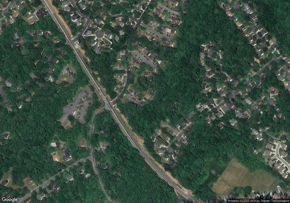
Map
Nearby Homes
- 136 Collington Ct
- 371 Freshfield Ln
- 276 Overleaf Dr
- 303 Ternwing Dr
- 1078 Brightleaf Ct
- 1254 Masters Dr
- 394 Kings College Dr
- 1420 Gilbert Rd
- 539 Greenblades Ct
- 1419 Mariner Dr
- 1159 Greenhill Rd
- 559 Melissa Ct
- 1420 Mariner Dr
- 208 Admirals Ct
- 1294 Circle Dr
- 1232 Taylor Ave
- 1394 Baltimore Annapolis Blvd
- 1350 Ritchie Hwy
- 1396 Baltimore Annapolis Blvd
- 1277 Ritchie Hwy Unit 195
- 1215 Springwood Ct Unit 8
- 1215 Springwood Ct
- 1219 Springwood Ct
- 1211 Springwood Ct Unit 6
- 1221 Springwood Ct
- 1209 Springwood Ct Unit 5
- 1209 Springwood Ct
- 1223 Springwood Ct Unit 12
- 1223 Springwood Ct
- 1207 Springwood Ct
- 1207 Springwood Ct Unit 4
- 1205 Springwood Ct
- 1225 Springwood Ct
- 1203 Springwood Ct
- 1201 Springwood Ct
- 1218 Driftwood Ct
- 1218 Driftwood Ct Unit 21
- 1220 Driftwood Ct
- 1222 Driftwood Ct
- 1222 Driftwood Ct Unit 23
Your Personal Tour Guide
Ask me questions while you tour the home.