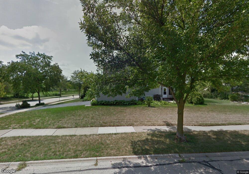
1213 Yorkshire Ln Barrington, IL 60010
Estimated Value: $559,780 - $637,000
--
Bed
3
Baths
2,252
Sq Ft
$273/Sq Ft
Est. Value
About This Home
This home is located at 1213 Yorkshire Ln, Barrington, IL 60010 and is currently estimated at $613,945, approximately $272 per square foot. 1213 Yorkshire Ln is a home located in Lake County with nearby schools including Isaac Fox Elementary School, Lake Zurich Middle School - South Campus, and Lake Zurich High School.
Ownership History
Date
Name
Owned For
Owner Type
Purchase Details
Closed on
Dec 20, 1995
Sold by
Budde William Taylor and Budde Sally J Sinden
Bought by
Sepos Kenneth M and Sepos Denise B
Current Estimated Value
Home Financials for this Owner
Home Financials are based on the most recent Mortgage that was taken out on this home.
Original Mortgage
$200,600
Outstanding Balance
$4,124
Interest Rate
7.42%
Estimated Equity
$609,821
Create a Home Valuation Report for This Property
The Home Valuation Report is an in-depth analysis detailing your home's value as well as a comparison with similar homes in the area
Home Values in the Area
Average Home Value in this Area
Purchase History
| Date | Buyer | Sale Price | Title Company |
|---|---|---|---|
| Sepos Kenneth M | $236,000 | Republic Title Company |
Source: Public Records
Mortgage History
| Date | Status | Borrower | Loan Amount |
|---|---|---|---|
| Open | Sepos Kenneth M | $200,600 |
Source: Public Records
Tax History Compared to Growth
Tax History
| Year | Tax Paid | Tax Assessment Tax Assessment Total Assessment is a certain percentage of the fair market value that is determined by local assessors to be the total taxable value of land and additions on the property. | Land | Improvement |
|---|---|---|---|---|
| 2024 | $10,958 | $159,575 | $26,972 | $132,603 |
| 2023 | $10,437 | $155,289 | $26,248 | $129,041 |
| 2022 | $10,437 | $143,486 | $25,741 | $117,745 |
| 2021 | $10,066 | $139,809 | $25,081 | $114,728 |
| 2020 | $9,885 | $139,809 | $25,081 | $114,728 |
| 2019 | $9,735 | $138,589 | $24,862 | $113,727 |
| 2018 | $10,456 | $143,551 | $26,926 | $116,625 |
| 2017 | $10,385 | $141,820 | $26,601 | $115,219 |
| 2016 | $10,182 | $137,330 | $25,759 | $111,571 |
| 2015 | $10,039 | $130,803 | $24,535 | $106,268 |
| 2014 | $9,963 | $128,470 | $25,011 | $103,459 |
| 2012 | $9,477 | $128,741 | $25,064 | $103,677 |
Source: Public Records
Map
Nearby Homes
- 24570 W Middle Fork Rd
- 1254 Tracie Dr
- Lot 9 N Rainbow Rd
- 660 Masland Ct
- 1202 Tracie Dr
- 21763 Deerpath Rd
- 21355 N Bobwhite Ln
- 880 June Terrace Unit 270
- 170 N Rainbow Rd
- 898 S Rand Rd
- 555 Waterford Dr
- 429 Grand Ave
- 77 Mionske Dr
- 125 N Rainbow Rd
- 777 Edelweiss Dr
- 781 Edelweiss Dr
- 1312 Lake Shore Dr N Unit 7
- 158 Canterbury Way
- 1288 The Point St
- 450 Trailside Dr
- 1219 Yorkshire Ln
- 1198 Berkshire Ln Unit 1
- 1225 Yorkshire Ln
- 1214 Berkshire Ln
- 523 Braemar Ln
- 530 Braemar Ln
- 536 Braemar Ln
- 524 Braemar Ln
- 1220 Berkshire Ln
- 1229 Yorkshire Ln
- 519 Braemar Ln
- 1187 Donegal Ln
- 549 Braemar Ln
- 1233 Yorkshire Ln
- 1182 Berkshire Ln
- 1226 Berkshire Ln
- 1226 Berkshire Ln
- 1184 Donegal Ln
- 550 Braemar Ln
- 1223 Berkshire Ln