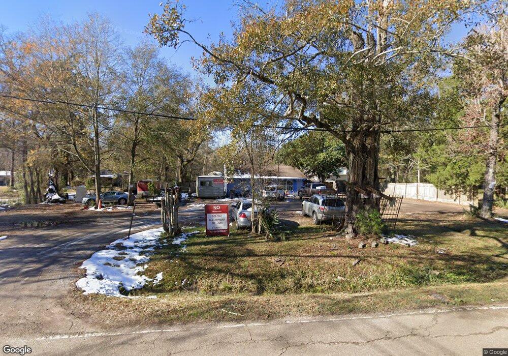
12131 Gibbens Rd Baton Rouge, LA 70807
Scotlandville NeighborhoodEstimated Value: $68,219 - $148,000
--
Bed
--
Bath
1,206
Sq Ft
$100/Sq Ft
Est. Value
About This Home
This home is located at 12131 Gibbens Rd, Baton Rouge, LA 70807 and is currently estimated at $121,055, approximately $100 per square foot. 12131 Gibbens Rd is a home located in East Baton Rouge Parish with nearby schools including White Hills Elementary School, Scotlandville Magnet High School, and Impact Charter School.
Ownership History
Date
Name
Owned For
Owner Type
Purchase Details
Closed on
Apr 14, 2025
Sold by
Hickman Mechaell Lynette
Bought by
Dreon Allen Anthony
Current Estimated Value
Purchase Details
Closed on
May 26, 2004
Sold by
Zumo Helen
Bought by
Hickman Dwayne
Purchase Details
Closed on
Jan 15, 2004
Sold by
National City Home Loan S
Bought by
Wells Emmanuel
Purchase Details
Closed on
Oct 24, 2003
Sold by
Zumo Jesse
Bought by
Hickman Mechaell
Purchase Details
Closed on
Jan 24, 2000
Sold by
Zumo John Victor
Bought by
Zumo Brenda F
Create a Home Valuation Report for This Property
The Home Valuation Report is an in-depth analysis detailing your home's value as well as a comparison with similar homes in the area
Home Values in the Area
Average Home Value in this Area
Purchase History
| Date | Buyer | Sale Price | Title Company |
|---|---|---|---|
| Dreon Allen Anthony | -- | None Listed On Document | |
| Hickman Dwayne | $50,000 | -- | |
| Wells Emmanuel | $16,500 | -- | |
| Hickman Mechaell | $10,000 | -- | |
| Zumo Brenda F | -- | -- | |
| Zumo John Victor | $35,000 | -- |
Source: Public Records
Tax History Compared to Growth
Tax History
| Year | Tax Paid | Tax Assessment Tax Assessment Total Assessment is a certain percentage of the fair market value that is determined by local assessors to be the total taxable value of land and additions on the property. | Land | Improvement |
|---|---|---|---|---|
| 2024 | $303 | $2,588 | $370 | $2,218 |
| 2023 | $303 | $2,310 | $330 | $1,980 |
| 2022 | $276 | $2,310 | $330 | $1,980 |
| 2021 | $269 | $2,310 | $330 | $1,980 |
| 2020 | $268 | $2,310 | $330 | $1,980 |
| 2019 | $254 | $2,100 | $300 | $1,800 |
| 2018 | $251 | $2,100 | $300 | $1,800 |
| 2017 | $251 | $2,100 | $300 | $1,800 |
| 2016 | $27 | $2,100 | $300 | $1,800 |
| 2015 | $27 | $2,050 | $300 | $1,750 |
| 2014 | $27 | $2,050 | $300 | $1,750 |
| 2013 | -- | $2,050 | $300 | $1,750 |
Source: Public Records
Map
Nearby Homes
- 12318 Turnley Dr
- 12226 Turnley Dr
- 11823 Kingston Dr
- 2834 Century Ave
- 3700-3900 Ashworth Dr
- 3900-4000 Ashworth Dr
- 11325 Cypress Dale Ave
- 2454 Gore Rd
- 2365 Desoto Dr
- 13311 Alba Dr
- 4633 Clark St
- 13422 Lillywood Ct
- 12248 Joe Louis Ct
- TBD Thomas Rd
- 2204 S Brock Place
- 13202 Morvant Rd
- 2362 Marci Ct
- 11747 Troy St
- 13705 Ector Dr
- 11225 Plank Rd
- 12133 Gibbens Rd
- 12121 Gibbens Rd
- 12255 Gibbens Rd
- 12111 Gibbens Rd
- 12132 Gibbens Rd
- 12130 Gibbens Rd
- 12122 Gibbens Rd
- 12263 Gibbens Rd
- 12223 Gibbens Rd
- 12112 Gibbens Rd
- 13340 Gibbens Rd
- 12262 Gibbens Rd
- 12345 Gibbens Rd
- 12322 Gibbens Rd
- 11970 Gibbens Rd
- 13341 Gibbens Rd
- 12371 Gibbens Rd
- 12371 Gibbens Rd
- 3580 Thomas Rd
- 12064 Gibbens Rd