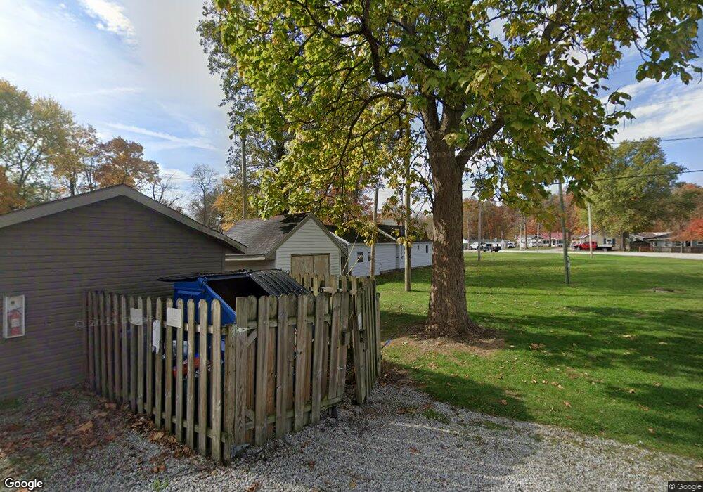
12131 Pine St Minster, OH 45865
Estimated Value: $66,000 - $96,320
2
Beds
1
Bath
912
Sq Ft
$88/Sq Ft
Est. Value
About This Home
This home is located at 12131 Pine St, Minster, OH 45865 and is currently estimated at $79,830, approximately $87 per square foot. 12131 Pine St is a home with nearby schools including Minster Elementary School and Minster Junior/Senior High School.
Ownership History
Date
Name
Owned For
Owner Type
Purchase Details
Closed on
May 20, 2020
Sold by
Thobe Daniel P
Bought by
Bergman Becky R and Thobe Daniel P
Current Estimated Value
Purchase Details
Closed on
May 30, 2007
Sold by
Martin Barbara J
Bought by
Thobe Daniel P
Home Financials for this Owner
Home Financials are based on the most recent Mortgage that was taken out on this home.
Original Mortgage
$32,000
Outstanding Balance
$19,612
Interest Rate
6.22%
Mortgage Type
Purchase Money Mortgage
Estimated Equity
$60,218
Create a Home Valuation Report for This Property
The Home Valuation Report is an in-depth analysis detailing your home's value as well as a comparison with similar homes in the area
Purchase History
| Date | Buyer | Sale Price | Title Company |
|---|---|---|---|
| Bergman Becky R | -- | None Available | |
| Thobe Daniel P | $32,000 | Attorney | |
| Martin Barbara J | $35,000 | Attorney |
Source: Public Records
Mortgage History
| Date | Status | Borrower | Loan Amount |
|---|---|---|---|
| Open | Thobe Daniel P | $32,000 |
Source: Public Records
Tax History Compared to Growth
Tax History
| Year | Tax Paid | Tax Assessment Tax Assessment Total Assessment is a certain percentage of the fair market value that is determined by local assessors to be the total taxable value of land and additions on the property. | Land | Improvement |
|---|---|---|---|---|
| 2024 | $787 | $22,940 | $4,370 | $18,570 |
| 2023 | $787 | $22,940 | $4,370 | $18,570 |
| 2022 | $611 | $17,290 | $3,520 | $13,770 |
| 2021 | $631 | $17,290 | $3,520 | $13,770 |
| 2020 | $643 | $17,290 | $3,520 | $13,770 |
| 2019 | $575 | $14,530 | $2,930 | $11,600 |
| 2018 | $567 | $14,530 | $2,930 | $11,600 |
| 2017 | $567 | $14,530 | $2,930 | $11,600 |
| 2016 | $573 | $14,390 | $2,930 | $11,460 |
| 2015 | $557 | $14,390 | $2,930 | $11,460 |
| 2014 | $557 | $14,390 | $2,930 | $11,460 |
| 2013 | $563 | $13,470 | $2,930 | $10,540 |
Source: Public Records
Map
Nearby Homes
- 12299 Short Dr
- 4221 State Route 362
- 10 W Main St
- 194 S Cleveland St
- 0 Stonegate Dr Unit 14 10544847
- 0 Stonegate Dr Unit 21 10544857
- 36 Shania Place Unit 23
- 28 Shania Place Unit 33
- 19 Shania Place Unit 33
- 27 Shania Place Unit 26
- 17 Stonegate Dr
- 8381 Ohio 66
- 2448 Minster Egypt Pike
- 11968 Arling Rd
- 561 S Walnut St Unit Lot3
- 173 Janice Dr
- 180 Janice Dr
- 165 Janice Dr
- 157 Janice Dr
- 149 Janice Dr
- 12133 State Route 363
- 12135 State Route 363
- 12111 State Route 363
- 12112 State Route 363
- 12124 State Route 363
- 12116 State Route 363
- 12158 Ash Dr
- 12153 State Route 363
- 12153 State Route 363
- 12150 State Route 363
- 12114 Maple Dr
- 12184 Ohio 363 Unit 12184
- 12148 Ash Dr
- 12108 Maple Dr
- 12146 Ash Dr
- 12142 Ash Dr
- 12159 Ash Dr
- 12155 Ash Dr
- 12151 Ash Dr
- 12149 Ash Dr
