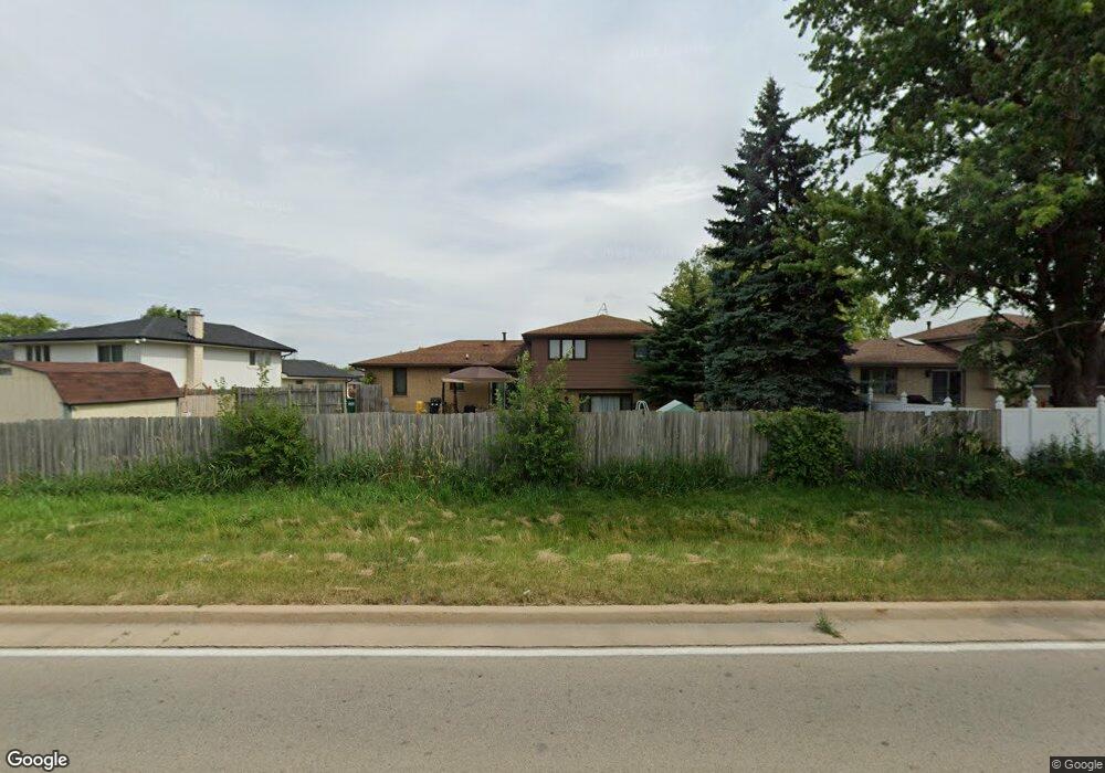
12131 Winchester Rd Orland Park, IL 60467
Estimated Value: $386,787 - $439,000
--
Bed
--
Bath
1,482
Sq Ft
$278/Sq Ft
Est. Value
About This Home
This home is located at 12131 Winchester Rd, Orland Park, IL 60467 and is currently estimated at $412,447, approximately $278 per square foot. 12131 Winchester Rd is a home located in Will County with nearby schools including Goodings Grove School, Hadley Middle School, and Homer Jr High School.
Ownership History
Date
Name
Owned For
Owner Type
Purchase Details
Closed on
Jan 1, 1994
Sold by
Toliusis Audre M
Bought by
Jaso Bryan J and Hill Jaso Lisa G
Current Estimated Value
Home Financials for this Owner
Home Financials are based on the most recent Mortgage that was taken out on this home.
Original Mortgage
$132,173
Interest Rate
7.31%
Create a Home Valuation Report for This Property
The Home Valuation Report is an in-depth analysis detailing your home's value as well as a comparison with similar homes in the area
Home Values in the Area
Average Home Value in this Area
Purchase History
| Date | Buyer | Sale Price | Title Company |
|---|---|---|---|
| Jaso Bryan J | $153,000 | Intercounty Title |
Source: Public Records
Mortgage History
| Date | Status | Borrower | Loan Amount |
|---|---|---|---|
| Closed | Jaso Bryan J | $132,173 |
Source: Public Records
Tax History Compared to Growth
Tax History
| Year | Tax Paid | Tax Assessment Tax Assessment Total Assessment is a certain percentage of the fair market value that is determined by local assessors to be the total taxable value of land and additions on the property. | Land | Improvement |
|---|---|---|---|---|
| 2024 | $7,759 | $114,875 | $21,398 | $93,477 |
| 2023 | $7,759 | $104,129 | $19,396 | $84,733 |
| 2022 | $7,438 | $97,226 | $18,110 | $79,116 |
| 2021 | $6,762 | $92,114 | $17,158 | $74,956 |
| 2020 | $6,779 | $88,725 | $16,527 | $72,198 |
| 2019 | $6,455 | $85,354 | $15,899 | $69,455 |
| 2018 | $6,811 | $88,746 | $15,717 | $73,029 |
| 2017 | $6,683 | $86,262 | $15,277 | $70,985 |
| 2016 | $6,517 | $83,386 | $14,768 | $68,618 |
| 2015 | $6,230 | $80,256 | $14,214 | $66,042 |
| 2014 | $6,230 | $78,597 | $13,920 | $64,677 |
| 2013 | $6,230 | $78,597 | $13,920 | $64,677 |
Source: Public Records
Map
Nearby Homes
- 14225 Mallard Dr
- 11901 Windemere Ct Unit 301
- 14124 Pheasant Ln
- 11901 Somerset Rd Unit 2
- 11851 Windemere Ct Unit 201
- 14328 Pinewood Dr
- 12360 Derby Ln
- 14533 Mallard Dr
- 14405 Creekwood Dr
- 11501 W 143rd St
- 14042 Churchill Dr
- 13855 Secretariat Ln
- Fremont Plan at Goodings Grove
- Eden Plan at Goodings Grove
- Danbury Plan at Goodings Grove
- Calysta Plan at Goodings Grove
- Briarcliffe Plan at Goodings Grove
- Amberwood Plan at Goodings Grove
- 11637 Brookview Ln
- 12009 Venetian Way
- 12125 Winchester Rd
- 12139 Winchester Rd
- 12177 Winchester Rd
- 12145 Winchester Rd
- 12128 Winchester Rd
- 12140 Winchester Rd
- 12109 Winchester Rd
- 12120 Winchester Rd
- 12207 Somerset Rd
- 12163 Somerset Rd
- 14316 S Glen Dr W
- 14320 S Glen Dr W
- 14320 S West Glen Dr
- 12151 Somerset Rd
- 14234 Winchester Ct
- 12101 Winchester Rd
- 12143 Somerset Rd
- 14226 Winchester Ct
- 12162 Winchester Rd
- 12135 Somerset Rd