12132 Trailwood Dr Whitney, TX 76692
Estimated Value: $414,777 - $522,000
--
Bed
1
Bath
2,310
Sq Ft
$203/Sq Ft
Est. Value
About This Home
This home is located at 12132 Trailwood Dr, Whitney, TX 76692 and is currently estimated at $468,194, approximately $202 per square foot. 12132 Trailwood Dr is a home located in Hill County with nearby schools including Whitney Elementary School, Whitney Intermediate School, and Whitney Middle School.
Ownership History
Date
Name
Owned For
Owner Type
Purchase Details
Closed on
Oct 31, 2022
Sold by
Southfork Capital Llc
Bought by
Davenport Scott P and Davenport Terri F
Current Estimated Value
Purchase Details
Closed on
Dec 1, 2020
Sold by
Acker Chris
Bought by
Southfork Capital Llc
Purchase Details
Closed on
Oct 22, 2020
Sold by
County Of Hill
Bought by
Acker Chris
Purchase Details
Closed on
Oct 4, 2006
Sold by
Horn Johnny R and Horn Kalyn M
Bought by
G & W Management Llc
Create a Home Valuation Report for This Property
The Home Valuation Report is an in-depth analysis detailing your home's value as well as a comparison with similar homes in the area
Home Values in the Area
Average Home Value in this Area
Purchase History
| Date | Buyer | Sale Price | Title Company |
|---|---|---|---|
| Davenport Scott P | -- | Eastland Title | |
| Southfork Capital Llc | -- | None Available | |
| Acker Chris | $49,200 | None Available | |
| G & W Management Llc | -- | Micro Title Hill County Llc |
Source: Public Records
Tax History Compared to Growth
Tax History
| Year | Tax Paid | Tax Assessment Tax Assessment Total Assessment is a certain percentage of the fair market value that is determined by local assessors to be the total taxable value of land and additions on the property. | Land | Improvement |
|---|---|---|---|---|
| 2025 | $7,646 | $498,590 | $13,180 | $485,410 |
| 2024 | $7,544 | $491,980 | $13,180 | $478,800 |
| 2023 | $205 | $13,180 | $13,180 | $0 |
| 2022 | $126 | $6,750 | $6,750 | $0 |
| 2021 | $143 | $6,750 | $6,750 | $0 |
| 2020 | $150 | $6,750 | $6,750 | $0 |
| 2019 | $139 | $5,970 | $5,970 | $0 |
| 2018 | $140 | $6,030 | $6,030 | $0 |
| 2017 | $142 | $6,070 | $6,070 | $0 |
| 2016 | $145 | $6,190 | $6,190 | $0 |
| 2015 | -- | $6,950 | $6,950 | $0 |
| 2014 | -- | $8,270 | $8,270 | $0 |
Source: Public Records
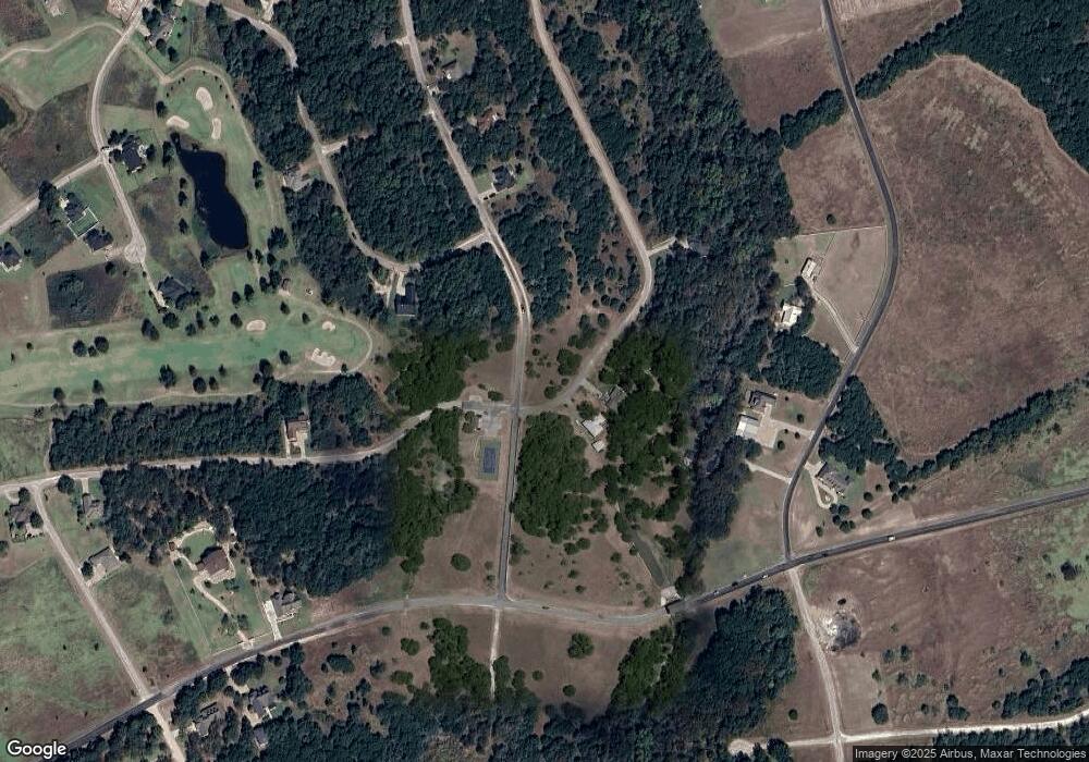
Map
Nearby Homes
- 12060 Westmeadow Dr
- 12101 Oak Dale Dr
- 12121 Trailwood Dr
- 12166 Trailwood Dr
- 12095 Shady Creek Dr
- 12117 Oak Dale Dr
- 12065 Westmeadow Dr
- 12127 Trailwood Dr
- 12045 Shady Creek Dr
- 12119 Westmeadow Dr
- 12173 Rolling Oaks Dr
- 12048 Shady Creek Dr
- 22287 Westmeadow Dr
- 12028 Shady Creek & Trailwood Dr Dr
- 22288 Westmeadow Dr
- 22141 Stanwood Dr
- 22131 Stanwood Dr
- 22146 Stanwood Dr
- 22161 Shady Grove Ct
- 12169 Westmeadow Dr & Rolling Oaks Dr
- 12132 Trail Wood Dr
- 12123 Trailwood Dr
- 12124 Trailwood Dr
- 12124 12124
- 12125 Trailwood
- 12118 Westmeadow Dr & Oak Dale Dr
- 0000 Trailwood Dr
- 12062 W Meadow Dr
- 630 Hcr 1145 Loop
- 12057 & 12058 Westmeadow Dr
- 12160 Trailwood Dr
- 12111 Oak Dale Dr
- 12103 Oak Dale Dr
- 12116 Oak Dale Dr
- 12112 Oak Dale Dr
- 12109 Oak Dale Dr
- 12174 Rolling Oaks Dr
- 12094 Shady Creek Dr
- 12159 Trailwood Dr
- 12105 Oak Dale Dr