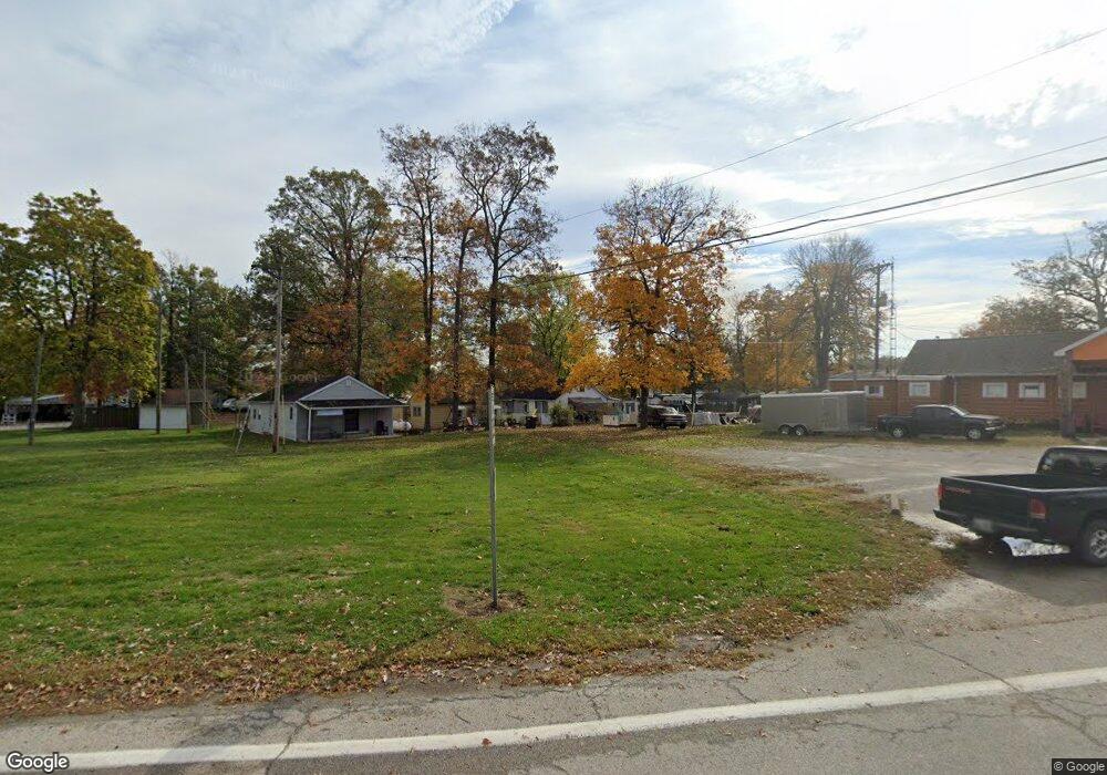
12135 State Route 363 Minster, OH 45865
Estimated Value: $128,980 - $204,000
3
Beds
1
Bath
1,784
Sq Ft
$92/Sq Ft
Est. Value
About This Home
This home is located at 12135 State Route 363, Minster, OH 45865 and is currently estimated at $164,995, approximately $92 per square foot. 12135 State Route 363 is a home located in Shelby County with nearby schools including Minster Elementary School and Minster Junior/Senior High School.
Ownership History
Date
Name
Owned For
Owner Type
Purchase Details
Closed on
Mar 5, 2021
Sold by
Wilson Roxanne
Bought by
Ohio Department Of Medicaid
Current Estimated Value
Purchase Details
Closed on
Nov 26, 1997
Sold by
Hegeman James D
Bought by
Wilson Ronald L and Wilson Roxanne
Home Financials for this Owner
Home Financials are based on the most recent Mortgage that was taken out on this home.
Original Mortgage
$30,000
Interest Rate
7.45%
Mortgage Type
New Conventional
Create a Home Valuation Report for This Property
The Home Valuation Report is an in-depth analysis detailing your home's value as well as a comparison with similar homes in the area
Home Values in the Area
Average Home Value in this Area
Purchase History
| Date | Buyer | Sale Price | Title Company |
|---|---|---|---|
| Ohio Department Of Medicaid | -- | -- | |
| Wilson Ronald L | $23,000 | -- |
Source: Public Records
Mortgage History
| Date | Status | Borrower | Loan Amount |
|---|---|---|---|
| Previous Owner | Wilson Ronald L | $30,000 |
Source: Public Records
Tax History Compared to Growth
Tax History
| Year | Tax Paid | Tax Assessment Tax Assessment Total Assessment is a certain percentage of the fair market value that is determined by local assessors to be the total taxable value of land and additions on the property. | Land | Improvement |
|---|---|---|---|---|
| 2024 | $1,017 | $28,240 | $3,820 | $24,420 |
| 2023 | $968 | $28,240 | $3,820 | $24,420 |
| 2022 | $738 | $20,870 | $3,080 | $17,790 |
| 2021 | $773 | $20,870 | $3,080 | $17,790 |
| 2020 | $782 | $20,870 | $3,080 | $17,790 |
| 2019 | $697 | $17,550 | $2,560 | $14,990 |
| 2018 | $668 | $17,550 | $2,560 | $14,990 |
| 2017 | $667 | $17,550 | $2,560 | $14,990 |
| 2016 | $566 | $14,600 | $2,560 | $12,040 |
| 2015 | $550 | $14,600 | $2,560 | $12,040 |
| 2014 | $550 | $14,600 | $2,560 | $12,040 |
| 2013 | $556 | $13,690 | $2,560 | $11,130 |
Source: Public Records
Map
Nearby Homes
- 4221 State Route 362
- 7 E 2nd St
- 193 N Paris St
- 0 Stonegate Dr Unit 14 10544847
- 0 Stonegate Dr Unit 21 10544857
- 11 Shania Place Unit 28
- 36 Shania Place Unit 23
- 28 Shania Place Unit 33
- 19 Shania Place Unit 33
- 27 Shania Place Unit 26
- 47 N Frankfort St
- 17 Stonegate Dr
- 8381 Ohio 66
- 11968 Arling Rd
- 561 S Walnut St Unit Lot3
- 173 Janice Dr
- 165 Janice Dr
- 180 Janice Dr
- 157 Janice Dr
- 149 Janice Dr
- 12133 State Route 363
- 12131 Pine St
- 12111 State Route 363
- 12112 State Route 363
- 12124 State Route 363
- 12116 State Route 363
- 12158 Ash Dr
- 12153 State Route 363
- 12153 State Route 363
- 12114 Maple Dr
- 12148 State Route 363
- 12150 State Route 363
- 12184 Ohio 363 Unit 12184
- 12108 Maple Dr
- 12148 Ash Dr
- 12142 Ash Dr
- 12146 Ash Dr
- 12079 Walnut Dr
- 12159 Ash Dr
- 12081 Walnut Dr