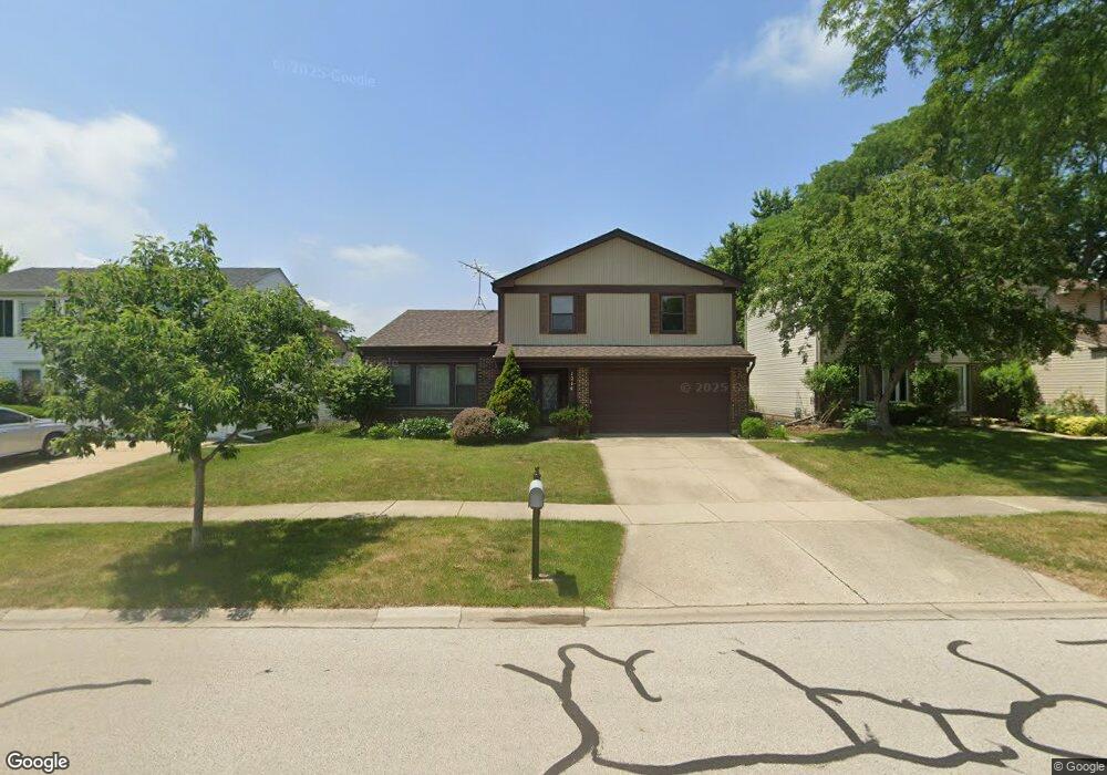
1214 Devonshire Rd Buffalo Grove, IL 60089
Prairie Park-Lake County NeighborhoodEstimated Value: $466,697 - $541,000
4
Beds
3
Baths
1,485
Sq Ft
$332/Sq Ft
Est. Value
About This Home
This home is located at 1214 Devonshire Rd, Buffalo Grove, IL 60089 and is currently estimated at $492,424, approximately $331 per square foot. 1214 Devonshire Rd is a home located in Lake County with nearby schools including Prairie Elementary School, Twin Groves Middle School, and Adlai E Stevenson High School.
Ownership History
Date
Name
Owned For
Owner Type
Purchase Details
Closed on
Aug 17, 2007
Sold by
Sachs Paula
Bought by
Mao Zugang and Xiao Qing
Current Estimated Value
Home Financials for this Owner
Home Financials are based on the most recent Mortgage that was taken out on this home.
Original Mortgage
$278,400
Outstanding Balance
$175,999
Interest Rate
6.63%
Mortgage Type
Purchase Money Mortgage
Estimated Equity
$316,425
Purchase Details
Closed on
Aug 1, 1990
Sold by
The Cosmopolitan National Bank Of Chicag
Bought by
Sachs Paula and Sachs Michael
Create a Home Valuation Report for This Property
The Home Valuation Report is an in-depth analysis detailing your home's value as well as a comparison with similar homes in the area
Home Values in the Area
Average Home Value in this Area
Purchase History
| Date | Buyer | Sale Price | Title Company |
|---|---|---|---|
| Mao Zugang | $348,000 | Chicago Title Insurance Co | |
| Sachs Paula | -- | None Available |
Source: Public Records
Mortgage History
| Date | Status | Borrower | Loan Amount |
|---|---|---|---|
| Open | Mao Zugang | $278,400 |
Source: Public Records
Tax History
| Year | Tax Paid | Tax Assessment Tax Assessment Total Assessment is a certain percentage of the fair market value that is determined by local assessors to be the total taxable value of land and additions on the property. | Land | Improvement |
|---|---|---|---|---|
| 2024 | $11,103 | $123,189 | $33,162 | $90,027 |
| 2023 | $10,553 | $116,238 | $31,291 | $84,947 |
| 2022 | $10,553 | $107,209 | $28,860 | $78,349 |
| 2021 | $10,152 | $106,053 | $28,549 | $77,504 |
| 2020 | $9,913 | $106,414 | $28,646 | $77,768 |
| 2019 | $10,491 | $113,322 | $28,540 | $84,782 |
| 2018 | $10,917 | $119,107 | $28,208 | $90,899 |
| 2017 | $10,510 | $116,327 | $27,550 | $88,777 |
| 2016 | $10,233 | $111,392 | $26,381 | $85,011 |
| 2015 | $9,958 | $104,173 | $24,671 | $79,502 |
| 2014 | $7,546 | $79,317 | $26,496 | $52,821 |
| 2012 | $7,479 | $79,476 | $26,549 | $52,927 |
Source: Public Records
Map
Nearby Homes
- 1234 Devonshire Rd
- 1265 Devonshire Rd
- 1318 Gail Dr Unit 4
- 1328 Larchmont Dr
- 327 Lasalle Ln
- 1152 Courtland Dr Unit 406
- 962 Thompson Blvd
- 1120 Courtland Dr
- 1135 Thompson Blvd
- 5176 Aptakisic Rd
- 810 Silver Rock Ln
- 1161 Parker Ln
- 5107 N Arlington Heights Rd
- 5152 Bridlewood Ln
- 711 Woodhollow Ln
- 736 Clohesey Dr
- 5135 Bridlewood Ct
- 1217 Franklin Ln Unit G5
- 927 Hidden Lake Dr
- 938 Hidden Lake Dr
- 1204 Devonshire Rd
- 1224 Devonshire Rd
- 1205 Dayton Rd
- 1215 Dayton Rd
- 1194 Devonshire Rd
- 1195 Dayton Rd
- 1225 Dayton Rd
- 1215 Devonshire Rd
- 1209 Devonshire Rd
- 1185 Dayton Rd
- 1244 Devonshire Rd
- 1184 Devonshire Rd
- 1235 Dayton Rd
- 1203 Devonshire Rd
- 1239 Devonshire Rd
- 1187 Devonshire Rd
- 1245 Dayton Rd
- 1254 Devonshire Rd
- 1174 Devonshire Rd
- 1175 Dayton Rd
Your Personal Tour Guide
Ask me questions while you tour the home.