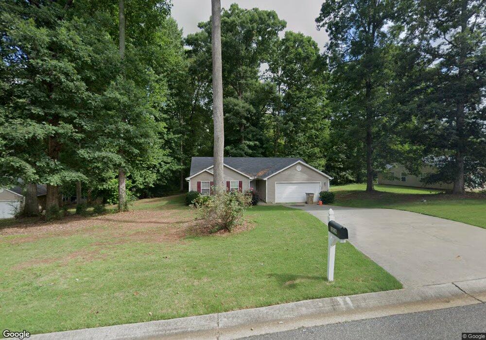
1214 Dylan Way Bethlehem, GA 30620
Estimated Value: $265,730 - $297,000
Studio
2
Baths
1,325
Sq Ft
$215/Sq Ft
Est. Value
About This Home
This home is located at 1214 Dylan Way, Bethlehem, GA 30620 and is currently estimated at $284,433, approximately $214 per square foot. 1214 Dylan Way is a home located in Barrow County with nearby schools including Bethlehem Elementary School, Haymon-Morris Middle School, and Apalachee High School.
Ownership History
Date
Name
Owned For
Owner Type
Purchase Details
Closed on
Apr 19, 2005
Sold by
Russell Prewitt Bldg & Dev Inc
Bought by
Bramer Thomas D and Bramer Trudy
Current Estimated Value
Home Financials for this Owner
Home Financials are based on the most recent Mortgage that was taken out on this home.
Original Mortgage
$106,575
Outstanding Balance
$54,270
Interest Rate
5.88%
Mortgage Type
VA
Estimated Equity
$230,163
Purchase Details
Closed on
Aug 17, 2004
Sold by
Malerba Mike
Bought by
Russell Prewitt Building
Purchase Details
Closed on
Oct 30, 2002
Bought by
Malerba Mike
Create a Home Valuation Report for This Property
The Home Valuation Report is an in-depth analysis detailing your home's value as well as a comparison with similar homes in the area
Home Values in the Area
Average Home Value in this Area
Purchase History
| Date | Buyer | Sale Price | Title Company |
|---|---|---|---|
| Bramer Thomas D | $116,900 | -- | |
| Russell Prewitt Building | $37,000 | -- | |
| Malerba Mike | -- | -- |
Source: Public Records
Mortgage History
| Date | Status | Borrower | Loan Amount |
|---|---|---|---|
| Open | Bramer Thomas D | $106,575 |
Source: Public Records
Tax History
| Year | Tax Paid | Tax Assessment Tax Assessment Total Assessment is a certain percentage of the fair market value that is determined by local assessors to be the total taxable value of land and additions on the property. | Land | Improvement |
|---|---|---|---|---|
| 2025 | $2,128 | $91,469 | $18,000 | $73,469 |
| 2024 | $2,206 | $89,318 | $18,000 | $71,318 |
| 2023 | $1,796 | $89,718 | $18,000 | $71,718 |
| 2022 | $1,990 | $70,026 | $18,000 | $52,026 |
| 2021 | $2,033 | $68,026 | $16,000 | $52,026 |
| 2020 | $1,715 | $57,345 | $16,000 | $41,345 |
| 2019 | $1,743 | $57,345 | $16,000 | $41,345 |
| 2018 | $1,514 | $50,564 | $11,000 | $39,564 |
| 2017 | $1,091 | $37,464 | $11,000 | $26,464 |
| 2016 | $1,097 | $37,754 | $11,000 | $26,754 |
| 2015 | $1,110 | $38,043 | $11,000 | $27,043 |
| 2014 | $1,009 | $34,585 | $7,252 | $27,333 |
| 2013 | -- | $33,238 | $7,252 | $25,986 |
Source: Public Records
Map
Nearby Homes
- 534 Walton Dr
- 1050 Bethlehem Church Rd
- 82 McElhannon Rd SE
- 812 Christmas Ave
- 1408 Wyndham Way
- 784 Manger Ave
- 0 Manger Ave E Unit 20154677
- 0 Manger Ave E Unit 20127001
- 1224 Dale Dr
- 53 Rowlett Place
- 54 Rowlett Place
- 73 Rowlett Place
- 465 Cade Ct
- 724 Manger Ave
- 463 Gin Mill Dr
- 449 & 455 Carl-Bethlehem Rd
- 129 Carnaby St
- 898 Harrison Mill Rd
- 590 Manning Gin Rd
- 127 Tanners Bridge Rd