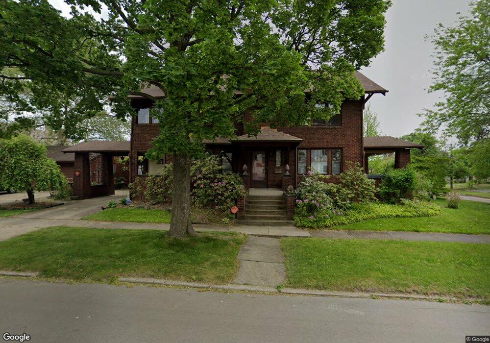
1214 High St NE Warren, OH 44483
Harding NeighborhoodEstimated Value: $91,000 - $144,923
4
Beds
3
Baths
2,478
Sq Ft
$48/Sq Ft
Est. Value
About This Home
This home is located at 1214 High St NE, Warren, OH 44483 and is currently estimated at $117,981, approximately $47 per square foot. 1214 High St NE is a home located in Trumbull County with nearby schools including Warren G. Harding High School, Lincoln PK-8 School, and Steam Academy of Warren.
Ownership History
Date
Name
Owned For
Owner Type
Purchase Details
Closed on
May 3, 2025
Sold by
Palm Linda M
Bought by
Revocable Living Trust Of Linda M Palm Family and Palm
Current Estimated Value
Purchase Details
Closed on
Jul 17, 1998
Sold by
Barnes Thomas E and Barnes Patricia A
Bought by
Palm Linda M
Purchase Details
Closed on
Jan 1, 1990
Bought by
Thomas Thomas E and Thomas S
Create a Home Valuation Report for This Property
The Home Valuation Report is an in-depth analysis detailing your home's value as well as a comparison with similar homes in the area
Home Values in the Area
Average Home Value in this Area
Purchase History
| Date | Buyer | Sale Price | Title Company |
|---|---|---|---|
| Revocable Living Trust Of Linda M Palm Family | -- | None Listed On Document | |
| Palm Linda M | $90,000 | -- | |
| Thomas Thomas E | -- | -- |
Source: Public Records
Tax History
| Year | Tax Paid | Tax Assessment Tax Assessment Total Assessment is a certain percentage of the fair market value that is determined by local assessors to be the total taxable value of land and additions on the property. | Land | Improvement |
|---|---|---|---|---|
| 2024 | $740 | $24,890 | $2,590 | $22,300 |
| 2023 | $743 | $24,890 | $2,590 | $22,300 |
| 2022 | $428 | $15,540 | $2,590 | $12,950 |
| 2021 | $429 | $15,540 | $2,590 | $12,950 |
| 2020 | $429 | $15,540 | $2,590 | $12,950 |
| 2019 | $359 | $14,140 | $2,590 | $11,550 |
| 2018 | $358 | $14,140 | $2,590 | $11,550 |
| 2017 | $352 | $14,140 | $2,590 | $11,550 |
| 2016 | $901 | $23,030 | $3,780 | $19,250 |
| 2015 | $895 | $23,030 | $3,780 | $19,250 |
| 2014 | $890 | $23,030 | $3,780 | $19,250 |
| 2013 | $956 | $24,920 | $3,780 | $21,140 |
Source: Public Records
Map
Nearby Homes
- 1214 E Market St
- 1132 Woodland St NE
- 1049 Mckinley St NE
- 136 Charles Ave SE
- 156 Bonnie Brae Ave NE
- 146 Bonnie Brae Ave NE
- 1451 E Market St
- 210 Fairmount Ave NE
- 752 Laird Ave NE
- 642 Saint Clair Dr NE
- 1728 Sunset Dr NE
- 165 Oak Knoll Ave NE
- 244 Woodbine Ave SE
- 433 Olive Ave NE Unit 435
- 475 Homewood Ave SE
- 1208 Youngstown Rd SE
- 454 Washington St NE
- 517 Oak Knoll Ave SE
- 978 Hollywood St NE
- 258 Seneca Ave NE
- 178 Iddings Ave NE
- 168 Iddings Ave NE
- 1215 High St NE
- 158 Iddings Ave NE
- 1205 High St NE
- 206 Lowell Ave NE
- 1185 High St NE
- 146 Iddings Ave NE
- 189 Iddings Ave NE
- 216 Lowell Ave NE
- 179 Iddings Ave NE
- 1175 High St NE
- 226 Lowell Ave NE
- 233 Lowell Ave NE
- 169 Iddings Ave NE
- 136 Iddings Ave NE
- 1165 High St NE
- 1259 High St NE
- 159 Iddings Ave NE
- 236 Lowell Ave NE
Your Personal Tour Guide
Ask me questions while you tour the home.