Estimated Value: $192,000 - $203,000
3
Beds
1
Bath
1,425
Sq Ft
$138/Sq Ft
Est. Value
About This Home
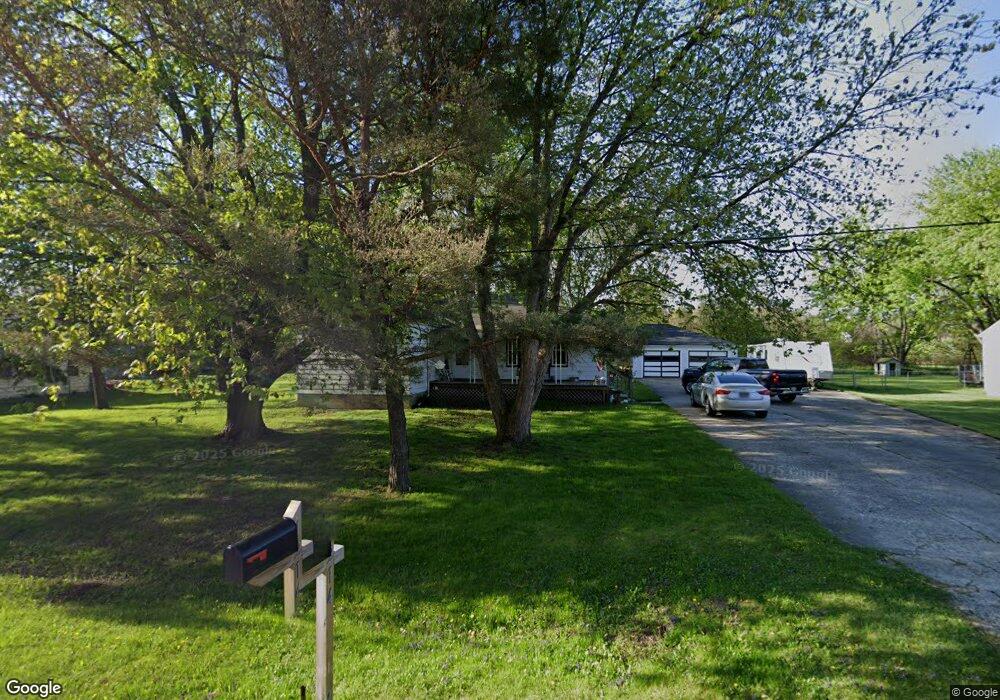
This home is located at 1214 Linus St, Flint, MI 48507 and is currently estimated at $197,269, approximately $138 per square foot. 1214 Linus St is a home located in Genesee County with nearby schools including Anderson Elementary School, McGrath Elementary School, and Grand Blanc West Middle School.
Ownership History
Date
Name
Owned For
Owner Type
Purchase Details
Closed on
Feb 22, 2024
Sold by
Geraldine Patricia Eaton Revocable Trust and Davis Kenneth Eugene
Bought by
Davis Bryan K
Current Estimated Value
Home Financials for this Owner
Home Financials are based on the most recent Mortgage that was taken out on this home.
Original Mortgage
$115,975
Outstanding Balance
$113,922
Interest Rate
6.6%
Mortgage Type
New Conventional
Estimated Equity
$83,347
Create a Home Valuation Report for This Property
The Home Valuation Report is an in-depth analysis detailing your home's value as well as a comparison with similar homes in the area
Home Values in the Area
Average Home Value in this Area
Purchase History
| Date | Buyer | Sale Price | Title Company |
|---|---|---|---|
| Davis Bryan K | $145,000 | Dream Title & Escrow |
Source: Public Records
Mortgage History
| Date | Status | Borrower | Loan Amount |
|---|---|---|---|
| Open | Davis Bryan K | $115,975 |
Source: Public Records
Tax History
| Year | Tax Paid | Tax Assessment Tax Assessment Total Assessment is a certain percentage of the fair market value that is determined by local assessors to be the total taxable value of land and additions on the property. | Land | Improvement |
|---|---|---|---|---|
| 2025 | $2,280 | $116,200 | $0 | $0 |
| 2024 | $1,285 | $111,300 | $0 | $0 |
| 2023 | $1,226 | $80,400 | $0 | $0 |
| 2022 | $2,036 | $76,600 | $0 | $0 |
| 2021 | $2,005 | $65,200 | $0 | $0 |
| 2020 | $1,130 | $62,000 | $0 | $0 |
| 2019 | $1,113 | $57,300 | $0 | $0 |
| 2018 | $1,825 | $50,800 | $0 | $0 |
| 2017 | $1,755 | $41,600 | $0 | $0 |
| 2016 | $1,872 | $44,900 | $0 | $0 |
| 2015 | $1,913 | $47,500 | $0 | $0 |
| 2012 | -- | $45,700 | $45,700 | $0 |
Source: Public Records
Map
Nearby Homes
- 00 Mckinley Blvd
- 000 Mckinley Blvd
- 5128 Sandalwood Cir Unit 20
- 5146 Sandalwood Cir
- 0000 Coolidge Dr
- 5152 Sandalwood Cir
- 1226 Harding Dr
- 0000 Mckinley Blvd
- 00 Coolidge Dr
- 000 Coolidge Dr
- 0 Harding Dr Unit 20251056693
- 5160 Sandalwood Dr
- 5308 Sandalwood Ct
- 0 Jefferson Blvd
- 1045 Leisure Dr Unit 7
- 5007 Sandalwood Dr
- 1044 W Rowland St
- 1142 Leisure Dr
- 5400 Ali Dr
- 1075 E Hill Rd
- 1226 Linus St
- 1204 Linus St
- 1238 Linus St
- 1194 Linus St
- 1221 Windsor St
- 1215 Windsor St
- 1227 Windsor St
- 1207 Windsor St
- 1180 Linus St
- 1233 Windsor St
- 1201 Windsor St
- 1195 Linus St
- 1239 Windsor St
- 1195 Windsor St
- 1189 Windsor St
- 1172 Linus St
- 1247 Linus St
- 1183 Windsor St
- 1185 Linus St
- 1177 Windsor St