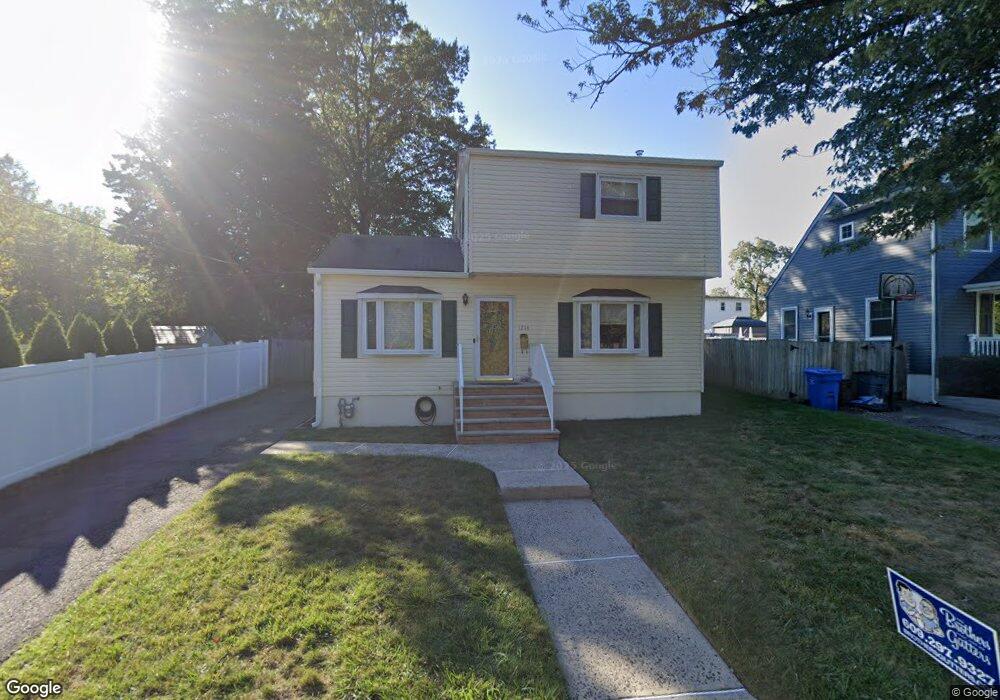
1214 Maltby Ave South Plainfield, NJ 07080
Estimated Value: $411,409 - $508,000
--
Bed
--
Bath
--
Sq Ft
5,489
Sq Ft Lot
About This Home
This home is located at 1214 Maltby Ave, South Plainfield, NJ 07080 and is currently estimated at $467,852. 1214 Maltby Ave is a home located in Middlesex County with nearby schools including South Plainfield High School, The Queen City Academy Charter School, and Koinonia Academy.
Ownership History
Date
Name
Owned For
Owner Type
Purchase Details
Closed on
Aug 25, 1997
Sold by
Hud Andrew Cuomo
Bought by
Myers Bryant and Myers Penny
Current Estimated Value
Home Financials for this Owner
Home Financials are based on the most recent Mortgage that was taken out on this home.
Original Mortgage
$112,000
Outstanding Balance
$17,265
Interest Rate
7.41%
Mortgage Type
FHA
Estimated Equity
$450,587
Create a Home Valuation Report for This Property
The Home Valuation Report is an in-depth analysis detailing your home's value as well as a comparison with similar homes in the area
Home Values in the Area
Average Home Value in this Area
Purchase History
| Date | Buyer | Sale Price | Title Company |
|---|---|---|---|
| Myers Bryant | $110,150 | -- |
Source: Public Records
Mortgage History
| Date | Status | Borrower | Loan Amount |
|---|---|---|---|
| Open | Myers Bryant | $112,000 |
Source: Public Records
Tax History Compared to Growth
Tax History
| Year | Tax Paid | Tax Assessment Tax Assessment Total Assessment is a certain percentage of the fair market value that is determined by local assessors to be the total taxable value of land and additions on the property. | Land | Improvement |
|---|---|---|---|---|
| 2025 | $6,340 | $90,800 | $28,800 | $62,000 |
| 2024 | $6,064 | $90,800 | $28,800 | $62,000 |
| 2023 | $6,064 | $90,800 | $28,800 | $62,000 |
| 2022 | $5,988 | $90,800 | $28,800 | $62,000 |
| 2021 | $5,848 | $90,800 | $28,800 | $62,000 |
| 2020 | $5,762 | $90,800 | $28,800 | $62,000 |
| 2019 | $5,529 | $90,800 | $28,800 | $62,000 |
| 2018 | $5,386 | $90,800 | $28,800 | $62,000 |
| 2017 | $5,317 | $90,800 | $28,800 | $62,000 |
| 2016 | $5,264 | $90,800 | $28,800 | $62,000 |
| 2015 | $5,173 | $90,800 | $28,800 | $62,000 |
| 2014 | $5,024 | $90,800 | $28,800 | $62,000 |
Source: Public Records
Map
Nearby Homes
- 1210 Maltby Ave
- 917 Tompkins Ave
- 139 Palmer Ave
- 551 Melrose Ave
- 1221 Grant Ave Unit 23
- 909 Sherman Ave
- 916 Sherman Ave
- 105 Firth St
- 905 Stelle Ave Unit 7
- 814 Sherman Ave Unit 18
- 4 Rauer Ct
- 1119 S 9th St
- 1453 Tooz Place
- 1210 Field Ave
- 1227 W 6th St
- 1211 S 9th St
- 1205 S 10th St
- 962 W 6th St Unit 64
- 950 W 6th St Unit 52
- 1212 Mcdonough St
- 700 Tompkins Ave
- 706 Tompkins Ave
- 173 Baker Ave
- 1206 Maltby Ave
- 171 Baker Ave
- 712 Tompkins Ave
- 169 Baker Ave
- 1202 Maltby Ave
- 161 Baker Ave
- 1116 Maltby Ave
- 711 Tompkins Ave
- 174 Baker Ave
- 604 Tompkins Ave
- 157 Baker Ave
- 168 Baker Ave
- 1112 Maltby Ave
- 1113 Maltby Ave
- 162 Baker Ave
- 808 Tompkins Ave
- 1104 Maltby Ave