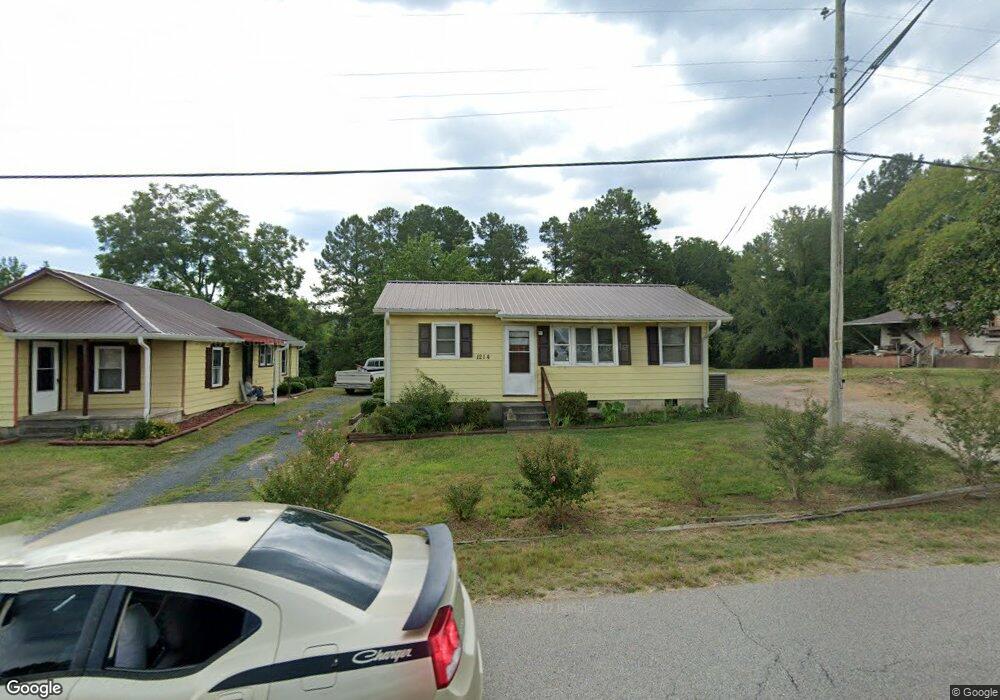
1214 Old Lilesville Rd Unit 1216 Wadesboro, NC 28170
Estimated Value: $137,000 - $167,000
5
Beds
2
Baths
1,148
Sq Ft
$134/Sq Ft
Est. Value
About This Home
This home is located at 1214 Old Lilesville Rd Unit 1216, Wadesboro, NC 28170 and is currently estimated at $154,033, approximately $134 per square foot. 1214 Old Lilesville Rd Unit 1216 is a home located in Anson County with nearby schools including Wadesboro Primary School, Wadesboro Elementary School, and Anson Middle School.
Ownership History
Date
Name
Owned For
Owner Type
Purchase Details
Closed on
Oct 24, 2024
Sold by
Burroughs Joan
Bought by
Haywood Tony Dale and Haywood Brenda
Current Estimated Value
Home Financials for this Owner
Home Financials are based on the most recent Mortgage that was taken out on this home.
Original Mortgage
$148,000
Outstanding Balance
$146,399
Interest Rate
6.2%
Mortgage Type
VA
Estimated Equity
$7,634
Create a Home Valuation Report for This Property
The Home Valuation Report is an in-depth analysis detailing your home's value as well as a comparison with similar homes in the area
Home Values in the Area
Average Home Value in this Area
Purchase History
| Date | Buyer | Sale Price | Title Company |
|---|---|---|---|
| Haywood Tony Dale | $148,000 | None Listed On Document | |
| Haywood Tony Dale | $148,000 | None Listed On Document |
Source: Public Records
Mortgage History
| Date | Status | Borrower | Loan Amount |
|---|---|---|---|
| Open | Haywood Tony Dale | $148,000 | |
| Closed | Haywood Tony Dale | $148,000 |
Source: Public Records
Tax History Compared to Growth
Tax History
| Year | Tax Paid | Tax Assessment Tax Assessment Total Assessment is a certain percentage of the fair market value that is determined by local assessors to be the total taxable value of land and additions on the property. | Land | Improvement |
|---|---|---|---|---|
| 2024 | $4 | $32,640 | $0 | $0 |
| 2023 | $624 | $46,800 | $8,600 | $38,200 |
| 2022 | $624 | $46,800 | $8,600 | $38,200 |
| 2021 | $624 | $46,800 | $0 | $0 |
| 2020 | $624 | $46,800 | $0 | $0 |
| 2018 | $564 | $42,300 | $0 | $0 |
| 2017 | $616 | $45,400 | $0 | $0 |
| 2016 | $616 | $45,400 | $0 | $0 |
| 2015 | $612 | $45,400 | $0 | $0 |
| 2011 | -- | $31,100 | $8,600 | $22,500 |
Source: Public Records
Map
Nearby Homes
- 79 Dogwood St
- 393 Cherry St
- TBD Old Lilesville Rd
- 322 Breslin St
- 1011 Stuart St
- 810 Demingwood St
- 1401 Morven Rd
- 502 E Wade St
- 213 Brent St Unit SR1133
- 1913 Country Club Rd
- 509 Lee Ave
- 103 Wadesborough Place
- TBD Burns St Unit 1382
- 0000 Country Club Rd
- 394 E Goldmine Rd
- 202 Greenwood Ln
- 122 E Hargrave St Unit 50
- TBD N Washington St
- 303 S Greene St
- 203 Bennett St
- 1216 Old Lilesville Rd Unit 20
- 1218 Old Lilesville Rd
- 1206 Old Lilesville Rd
- 1226 Old Lilesville Rd
- 1300 Old Lilesville Rd
- 1200 Old Lilesville Rd
- 1308 Old Lilesville Rd
- 1310 Old Lilesville Rd
- 1122 Old Lilesville Rd
- 1120 Old Lilesville Rd
- 1114 Old Lilesville Rd
- 1400 Old Lilesville Rd
- 804 Anson Apparel Shirt Rd
- 1402 Old Lilesville Rd
- 1404 Old Lilesville Rd
- 1100 Old Lilesville Rd
- 493 Anson Apparel Shirt Rd
- 1300 E Caswell St
- 293 Us Highway 52 S
- 168 S Hwy 52 Hwy