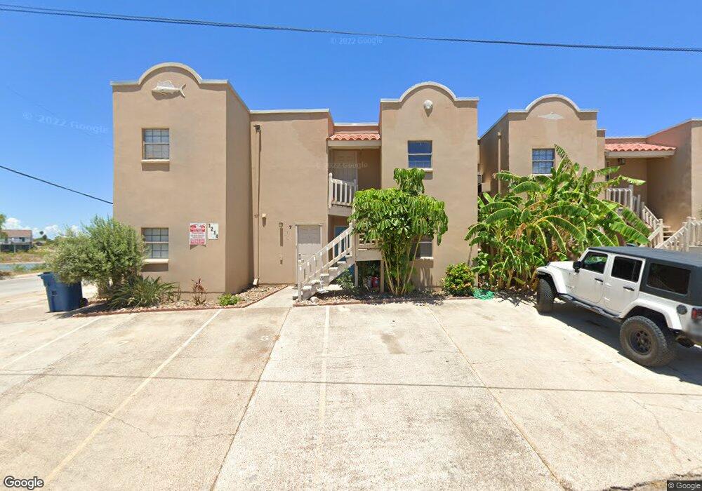
1214 Trout Ave Port Isabel, TX 78578
Estimated Value: $169,783 - $186,000
2
Beds
1
Bath
691
Sq Ft
$259/Sq Ft
Est. Value
About This Home
This home is located at 1214 Trout Ave, Port Isabel, TX 78578 and is currently estimated at $178,946, approximately $258 per square foot. 1214 Trout Ave is a home located in Cameron County with nearby schools including Garriga Elementary School, Derry Elementary School, and Port Isabel Junior High School.
Ownership History
Date
Name
Owned For
Owner Type
Purchase Details
Closed on
Oct 4, 2010
Sold by
Guimond Christopher
Bought by
Burns Jennifer Lee
Current Estimated Value
Purchase Details
Closed on
Nov 21, 2003
Sold by
Beier Ray and Beier Cheryl
Bought by
Prill Mary Ann
Home Financials for this Owner
Home Financials are based on the most recent Mortgage that was taken out on this home.
Original Mortgage
$55,920
Interest Rate
6.06%
Mortgage Type
Purchase Money Mortgage
Create a Home Valuation Report for This Property
The Home Valuation Report is an in-depth analysis detailing your home's value as well as a comparison with similar homes in the area
Home Values in the Area
Average Home Value in this Area
Purchase History
| Date | Buyer | Sale Price | Title Company |
|---|---|---|---|
| Burns Jennifer Lee | -- | Dba Cameron County Title Co | |
| Prill Mary Ann | -- | Southern Texas Title Co |
Source: Public Records
Mortgage History
| Date | Status | Borrower | Loan Amount |
|---|---|---|---|
| Previous Owner | Prill Mary Ann | $55,920 | |
| Closed | Prill Mary Ann | $13,980 |
Source: Public Records
Tax History Compared to Growth
Tax History
| Year | Tax Paid | Tax Assessment Tax Assessment Total Assessment is a certain percentage of the fair market value that is determined by local assessors to be the total taxable value of land and additions on the property. | Land | Improvement |
|---|---|---|---|---|
| 2025 | $1,358 | $62,061 | $34,493 | $27,568 |
| 2024 | $1,358 | $62,860 | $34,493 | $28,367 |
| 2023 | $1,374 | $63,260 | $34,493 | $28,767 |
| 2022 | $1,322 | $57,394 | $27,428 | $29,966 |
| 2021 | $1,270 | $52,971 | $22,606 | $30,365 |
| 2020 | $1,287 | $53,371 | $22,606 | $30,765 |
| 2019 | $1,287 | $54,170 | $22,606 | $31,564 |
| 2018 | $1,503 | $63,316 | $31,353 | $31,963 |
| 2017 | $1,509 | $63,716 | $31,353 | $32,363 |
| 2016 | $1,518 | $64,115 | $31,353 | $32,762 |
| 2015 | $1,413 | $64,515 | $31,353 | $33,162 |
Source: Public Records
Map
Nearby Homes
- Lot 23 Bass Ave
- 0 Bass Ave Unit 467130
- 0 Bass Ave Unit 38 100189
- 1108 Bass Ave
- 1218 Bass Ave
- 1113 Pompano Ave
- 1118 Pompano Ave
- 1313 Harbor Island Dr Unit 139
- 917 Pompano Ave
- 1323 Harbor Island Dr Unit 138
- 0 Pompano Ave Unit 2 103128
- 1013 Tarpon Ave
- 1302 Harbor Island Dr
- 1302 Harbor Island Dr Unit 1302
- 1109 Tarpon Ave
- 1001 Trout Ave
- 00 Tarpon Ave
- 00 Tarpon Ave Unit 19
- 61&62 Tarpon Ave
- 909 Trout Ave
- 1214 Trout Ave
- 1214 Trout Ave Unit 6
- 1214 Trout Ave Unit 8
- 1214 Trout Ave Unit 5
- 1214 Trout Ave Unit 3
- 1214 Trout Ave Unit 7
- 1214 Trout Ave Unit 1
- 1202 Trout Ave
- 0 Island Ave Unit 94495
- 0 Island Ave Unit 29730934
- 0 Island Ave
- 400 Island Ave Unit 70A
- 1118 Trout Ave
- 1209 Trout Ave
- 1201 Trout Ave Unit 36,37
- 1201 Trout Ave Unit 36-37
- 1201 Trout Ave
- unk Trout Ave Unit 8
- 68 B Oyster Cove
- 1114 Trout Ave