1214 Turrentine St Burlington, NC 27215
East Burlington NeighborhoodEstimated Value: $3,512,052
--
Bed
--
Bath
58,040
Sq Ft
$61/Sq Ft
Est. Value
About This Home
This home is located at 1214 Turrentine St, Burlington, NC 27215 and is currently priced at $3,512,052, approximately $60 per square foot. 1214 Turrentine St is a home located in Alamance County with nearby schools including Harvey R. Newlin Elementary School, Graham Middle School, and Graham High School.
Ownership History
Date
Name
Owned For
Owner Type
Purchase Details
Closed on
Sep 17, 2008
Sold by
Exr Ted Johnson
Bought by
H And M Futures Llc
Current Estimated Value
Purchase Details
Closed on
Jun 28, 2006
Sold by
Dream Properties Llc
Bought by
Apb Properties Llc
Home Financials for this Owner
Home Financials are based on the most recent Mortgage that was taken out on this home.
Original Mortgage
$1,487,500
Interest Rate
6.57%
Create a Home Valuation Report for This Property
The Home Valuation Report is an in-depth analysis detailing your home's value as well as a comparison with similar homes in the area
Home Values in the Area
Average Home Value in this Area
Purchase History
| Date | Buyer | Sale Price | Title Company |
|---|---|---|---|
| H And M Futures Llc | $21,000 | -- | |
| Apb Properties Llc | $1,750,000 | -- |
Source: Public Records
Mortgage History
| Date | Status | Borrower | Loan Amount |
|---|---|---|---|
| Previous Owner | Apb Properties Llc | $1,487,500 | |
| Previous Owner | Apb Properties Llc | $200,000 |
Source: Public Records
Tax History Compared to Growth
Tax History
| Year | Tax Paid | Tax Assessment Tax Assessment Total Assessment is a certain percentage of the fair market value that is determined by local assessors to be the total taxable value of land and additions on the property. | Land | Improvement |
|---|---|---|---|---|
| 2025 | $25,393 | $5,140,335 | $103,699 | $5,036,636 |
| 2024 | $24,108 | $5,140,335 | $103,699 | $5,036,636 |
| 2023 | $46,830 | $5,140,335 | $103,699 | $5,036,636 |
| 2022 | $34,444 | $2,775,333 | $321,810 | $2,453,523 |
| 2021 | $34,720 | $2,775,333 | $321,810 | $2,453,523 |
| 2020 | $34,996 | $2,775,333 | $321,810 | $2,453,523 |
| 2019 | $35,089 | $2,775,333 | $321,810 | $2,453,523 |
| 2018 | $11,678 | $1,965,033 | $305,660 | $1,659,373 |
| 2017 | $10,418 | $1,805,233 | $145,860 | $1,659,373 |
| 2016 | $21,576 | $1,860,015 | $167,000 | $1,693,015 |
| 2015 | $10,734 | $1,860,015 | $167,000 | $1,693,015 |
| 2014 | -- | $1,860,015 | $167,000 | $1,693,015 |
Source: Public Records
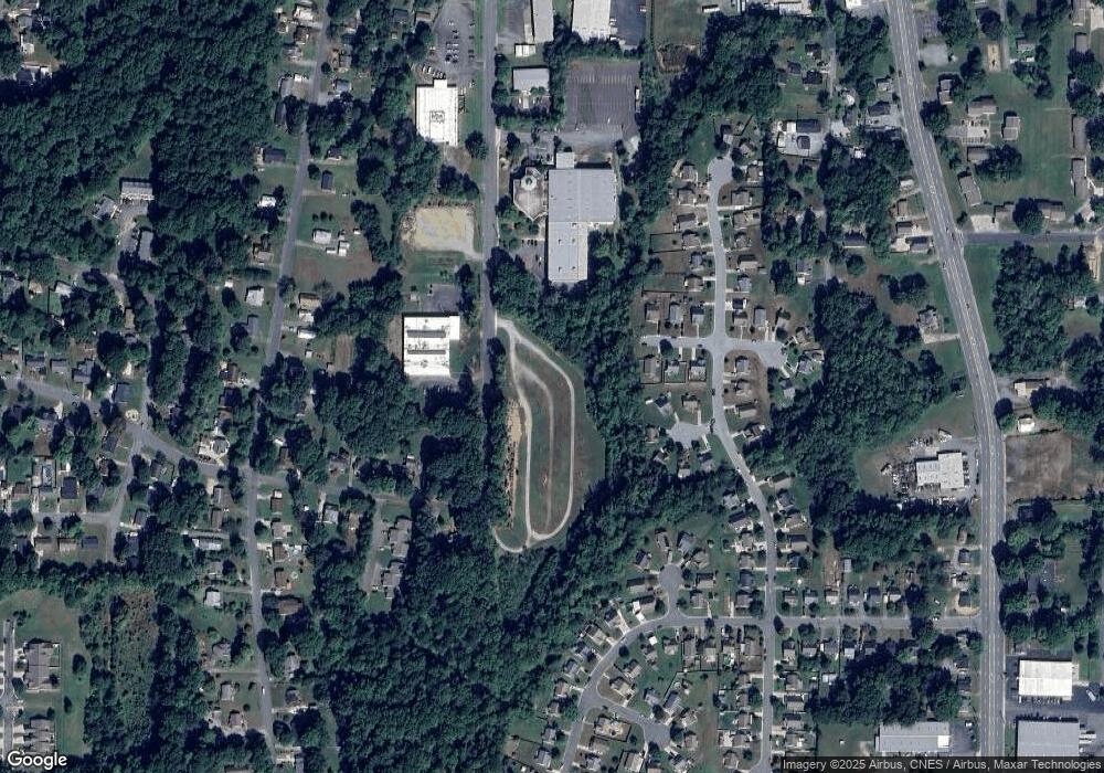
Map
Nearby Homes
- 1523 Maple Ave
- 1234 Kenwood Dr
- 606 Arden St
- Lot 7 Stout St
- 735 Everett St
- 1323 Collins Dr
- 319 Cates Ave
- 409 S Flanner St
- 315 Stokes St
- 312 Stokes St
- 119 N Anthony St
- 516 Avon Ave
- 112 Tucker St
- 2133 Wiggins St
- 511 Cameron St
- 2129 Wrenn St
- 512 Maple Ave
- 924 E Market St
- 1304 Queen Ann St
- 1214 Queen Ann St
- 0 Turrentine St
- 1575 Farningham Ln
- 1559 Farningham Ln
- 1567 Farningham Ln
- 1551 Farningham Ln
- 1581 Farningham Ln
- 611 Foxton Ln
- 607 Foxton Ln
- 1589 Farningham Ln
- 0 Farningham Lane Lot3
- 603 Foxton Ln
- 1570 Farningham Ln
- 1558 Farningham Ln
- 1578 Farningham Ln
- 612 Foxton Ln
- 1550 Farningham Ln
- 1584 Farningham Ln
- 608 Foxton Ln
- 608 Foxton Ln
- 1588 Farningham Ln