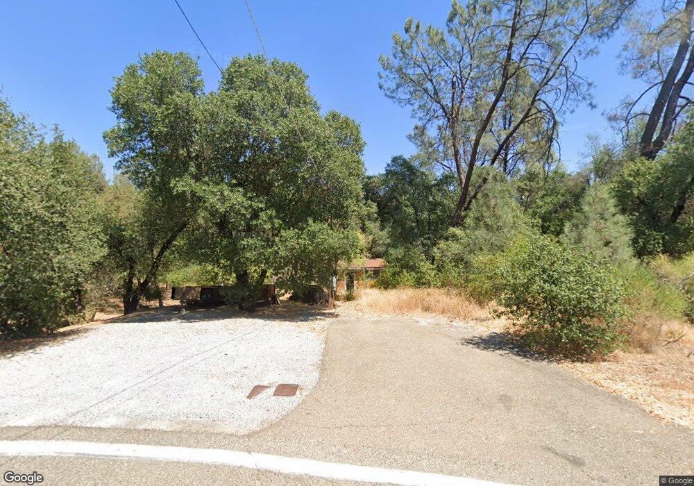
12143 Macs Rd Redding, CA 96003
Estimated Value: $85,885 - $101,000
About This Home
This home is located at 12143 Macs Rd, Redding, CA 96003 and is currently estimated at $93,443, approximately $137 per square foot. 12143 Macs Rd is a home located in Shasta County with nearby schools including Redding STEM Academy.
Ownership History
We collect this data history from publicly available records. To have your information removed, we recommend requesting removal directly through your county’s website.
Purchase Details
Purchase Details
Home Financials for this Owner
Home Financials are based on the most recent Mortgage that was taken out on this home.Purchase Details
Purchase Details
Purchase Details
Home Financials for this Owner
Home Financials are based on the most recent Mortgage that was taken out on this home.Purchase Details
Home Financials for this Owner
Home Financials are based on the most recent Mortgage that was taken out on this home.Purchase History
We collect this data history from publicly available records. To have your information removed, we recommend requesting removal directly through your county’s website.
| Date | Buyer | Sale Price | Title Company |
|---|---|---|---|
| -- | None Available | ||
| $60,000 | Placer Title Company | ||
| -- | Placer Title Company | ||
| -- | Placer Title Company | ||
| $59,500 | Chicago Title Co | ||
| -- | Chicago Title Co | ||
| $64,000 | Chicago Title Co | ||
| $66,000 | Fidelity National Title Co |
Mortgage History
We collect this data history from publicly available records. To have your information removed, we recommend requesting removal directly through your county’s website.
| Date | Status | Borrower | Loan Amount |
|---|---|---|---|
| Previous Owner | $60,000 | ||
| Previous Owner | $56,841 | ||
| Previous Owner | $60,000 |
Tax History
We collect this data history from publicly available records. To have your information removed, we recommend requesting removal directly through your county’s website.
| Year | Tax Paid | Tax Assessment Tax Assessment Total Assessment is a certain percentage of the fair market value that is determined by local assessors to be the total taxable value of land and additions on the property. | Land | Improvement |
|---|---|---|---|---|
| 2025 | $240 | $22,307 | $16,731 | $5,576 |
| 2024 | $236 | $21,870 | $16,403 | $5,467 |
| 2023 | $236 | $21,442 | $16,082 | $5,360 |
| 2022 | $229 | $21,022 | $15,767 | $5,255 |
| 2021 | $226 | $20,610 | $15,458 | $5,152 |
| 2020 | $406 | $35,311 | $29,430 | $5,881 |
| 2019 | $394 | $34,619 | $28,853 | $5,766 |
| 2018 | $393 | $33,941 | $28,288 | $5,653 |
| 2017 | $386 | $33,277 | $27,734 | $5,543 |
| 2016 | $369 | $32,626 | $27,191 | $5,435 |
| 2015 | $363 | $32,137 | $26,783 | $5,354 |
| 2014 | $366 | $31,509 | $26,259 | $5,250 |
Map
- 17789 Peterson Ln
- 12116 Lake Blvd
- 12125 Romar St
- 12125 Lake Blvd
- 3625 Glenwood Dr
- 3175 Pinehaven Dr
- 17505 Forest View Dr
- 3451 Snavely Ward Dr
- 1720 Mckinney Ln
- 1760 Bishop
- 3550 Oasis Rd
- 2935 Quartz Hill Rd
- 12003 Counter Ln
- 12333 Quartz Hill Rd
- 3586 E Keswick Dam Rd
- 3291 Keswick Dam Rd
- 3320 Magnums Way
- 3588 Magnums Way
- 18439 Old Oasis Rd
- 0 Shasta Gateway Dr
- 12178 Lake Blvd
- 12188 Lake Blvd
- 12142 Macs Rd
- 12149 Macs Rd
- 12156 Lake Blvd
- 12146 Lake Blvd
- 12136 Macs Rd
- 17745 Peterson Ln Unit 1
- 17745 Peterson Ln
- 17765 Peterson Ln
- 17730 Adele Ln
- 17773 Peterson Ln
- 17744 Peterson Ln
- 12138 Lake Blvd
- 17712 Adele Ln
- 17766 Peterson Ln
- 12194 Lake Blvd
- 17712 Adele 1weup7n136y3
- 17754 Peterson Ln
- 12178 Macs Rd
Ask me questions while you tour the home.