12146 S Robin Rd Gentry, AR 72734
Estimated Value: $359,000 - $596,000
--
Bed
2
Baths
1,898
Sq Ft
$269/Sq Ft
Est. Value
About This Home
This home is located at 12146 S Robin Rd, Gentry, AR 72734 and is currently estimated at $510,744, approximately $269 per square foot. 12146 S Robin Rd is a home located in Benton County with nearby schools including Gentry Intermediate School, Gentry Primary School, and Gentry Middle School.
Ownership History
Date
Name
Owned For
Owner Type
Purchase Details
Closed on
Nov 5, 2012
Sold by
L & L Farms Inc
Bought by
Robins Stephen L and Robins Jennifer
Current Estimated Value
Home Financials for this Owner
Home Financials are based on the most recent Mortgage that was taken out on this home.
Original Mortgage
$134,535
Outstanding Balance
$92,545
Interest Rate
3.37%
Mortgage Type
Future Advance Clause Open End Mortgage
Estimated Equity
$418,199
Purchase Details
Closed on
Apr 18, 2003
Bought by
Robins
Purchase Details
Closed on
Aug 23, 2001
Bought by
Tucker and Tucker 88Ac
Purchase Details
Closed on
Nov 13, 1987
Bought by
Truitt
Purchase Details
Closed on
Dec 10, 1980
Bought by
Truitt S
Purchase Details
Closed on
Mar 25, 1980
Bought by
Capps
Create a Home Valuation Report for This Property
The Home Valuation Report is an in-depth analysis detailing your home's value as well as a comparison with similar homes in the area
Home Values in the Area
Average Home Value in this Area
Purchase History
| Date | Buyer | Sale Price | Title Company |
|---|---|---|---|
| Robins Stephen L | $128,000 | Rtc | |
| Robins | $100,000 | -- | |
| Tucker | -- | -- | |
| Truitt | -- | -- | |
| Truitt S | -- | -- | |
| Capps | $30,000 | -- |
Source: Public Records
Mortgage History
| Date | Status | Borrower | Loan Amount |
|---|---|---|---|
| Open | Robins Stephen L | $134,535 |
Source: Public Records
Tax History Compared to Growth
Tax History
| Year | Tax Paid | Tax Assessment Tax Assessment Total Assessment is a certain percentage of the fair market value that is determined by local assessors to be the total taxable value of land and additions on the property. | Land | Improvement |
|---|---|---|---|---|
| 2025 | $2,520 | $79,640 | $6,945 | $72,695 |
| 2024 | $2,353 | $79,640 | $6,945 | $72,695 |
| 2023 | $2,241 | $49,660 | $4,580 | $45,080 |
| 2022 | $1,910 | $49,660 | $4,580 | $45,080 |
| 2021 | $1,804 | $49,660 | $4,580 | $45,080 |
| 2020 | $1,701 | $39,090 | $3,130 | $35,960 |
| 2019 | $1,701 | $39,090 | $3,130 | $35,960 |
| 2018 | $1,666 | $39,090 | $3,130 | $35,960 |
| 2017 | $1,250 | $34,010 | $3,130 | $30,880 |
| 2016 | $1,250 | $34,010 | $3,130 | $30,880 |
| 2015 | $1,432 | $28,630 | $2,560 | $26,070 |
| 2014 | $1,082 | $28,630 | $2,560 | $26,070 |
Source: Public Records
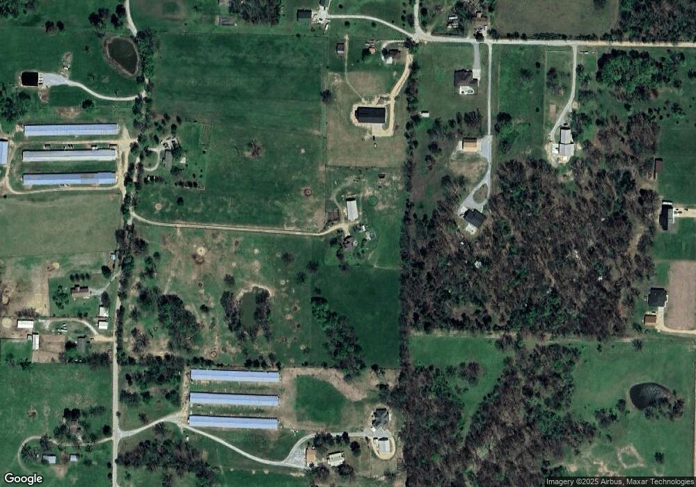
Map
Nearby Homes
- 12041 S Robin Rd
- 00 Highway 12
- 19800 Dawn Hill Rd E
- 812 Saddlebrook St
- 19407 Dawn Hill East Rd
- 1017 Rachel St
- 9.09 Acres E 3rd St Hwy 12
- 812 Vista St
- 2124 Brown Bear Ln
- 1298 E Main St
- 2201 Brown Bear Ln
- 2121 Carlisle St
- 821 Brook St
- 343 Melissa Ln
- 19161 Old Springtown Rd
- 2205 Augusta Cir
- 1508 Taylor Orchard Rd
- TBD Arkansas 59
- 12041 N Robin Rd
- 1392 E Crawford St
- 12029 S Edmondson Rd
- 11991 S Edmondson Rd
- 12282 S Robin Rd
- 12027 S Edmondson Rd
- 12278 S Robin Rd
- 0 Robin Rd Unit 499466
- 0 Robin Rd Unit 655172
- 0 Robin Rd Unit 1068113
- Tract 4 and 5 Edmond Edmondson Rd
- Tract 2 Edmondson Rd
- 12039 S Edmondson Rd
- 12232 S Robin Rd
- 12008 S Edmondson Rd
- 689 S Edmondson Rd
- 12079 S Robin Rd
- 664 S Robin Rd
- 12217 S Robin Rd
- 12079 S Robin Rd
- 12125 S Edmondson Rd
- 12097 S Edmondson Rd