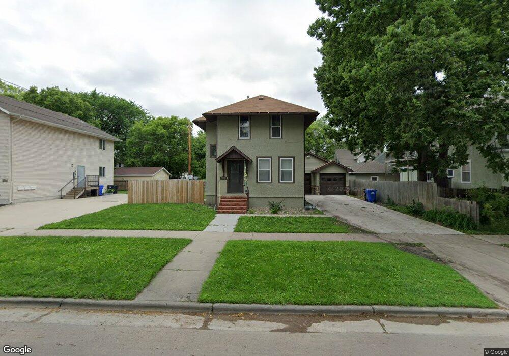
1215 10th Ave N Fargo, ND 58102
Roosevelt NeighborhoodEstimated Value: $238,000 - $275,860
3
Beds
2
Baths
2,274
Sq Ft
$111/Sq Ft
Est. Value
About This Home
This home is located at 1215 10th Ave N, Fargo, ND 58102 and is currently estimated at $251,965, approximately $110 per square foot. 1215 10th Ave N is a home located in Cass County with nearby schools including Horace Mann Roosevelt Elementary School, Ben Franklin Middle School, and North High School.
Ownership History
Date
Name
Owned For
Owner Type
Purchase Details
Closed on
Apr 1, 2022
Sold by
Solution Investments Llc
Bought by
Collins Jeffrey M and Collins Henry
Current Estimated Value
Home Financials for this Owner
Home Financials are based on the most recent Mortgage that was taken out on this home.
Original Mortgage
$182,400
Outstanding Balance
$172,070
Interest Rate
4.67%
Mortgage Type
New Conventional
Estimated Equity
$79,895
Create a Home Valuation Report for This Property
The Home Valuation Report is an in-depth analysis detailing your home's value as well as a comparison with similar homes in the area
Home Values in the Area
Average Home Value in this Area
Purchase History
| Date | Buyer | Sale Price | Title Company |
|---|---|---|---|
| Collins Jeffrey M | -- | Fm Title |
Source: Public Records
Mortgage History
| Date | Status | Borrower | Loan Amount |
|---|---|---|---|
| Open | Collins Jeffrey M | $182,400 |
Source: Public Records
Tax History Compared to Growth
Tax History
| Year | Tax Paid | Tax Assessment Tax Assessment Total Assessment is a certain percentage of the fair market value that is determined by local assessors to be the total taxable value of land and additions on the property. | Land | Improvement |
|---|---|---|---|---|
| 2024 | $4,089 | $134,250 | $18,750 | $115,500 |
| 2023 | $3,966 | $130,350 | $18,750 | $111,600 |
| 2022 | $3,211 | $106,600 | $18,750 | $87,850 |
| 2021 | $2,886 | $95,200 | $18,750 | $76,450 |
| 2020 | $2,823 | $95,200 | $18,750 | $76,450 |
| 2019 | $2,473 | $81,850 | $8,700 | $73,150 |
| 2018 | $2,445 | $81,850 | $8,700 | $73,150 |
| 2017 | $2,089 | $77,950 | $8,700 | $69,250 |
| 2016 | $1,764 | $72,300 | $8,700 | $63,600 |
| 2015 | $1,826 | $70,250 | $7,350 | $62,900 |
| 2014 | $1,737 | $65,050 | $7,350 | $57,700 |
| 2013 | $1,670 | $63,150 | $7,350 | $55,800 |
Source: Public Records
Map
Nearby Homes
- 1015 12th St N
- 1010 University Dr N
- 1027 University Dr N
- 1036 12th St N
- 1026 University Dr N
- 1031 College St N
- 1011 10th Ave N
- 1112 12th St N Unit 101
- 1112 12th St N Unit 106
- 1112 12th St N Unit 105
- 1112 12th St N Unit 102
- 1112 12th St N Unit 104
- 1112 12th St N Unit 103
- 824 9th St N
- 1109 10th St N
- 725 14th St N
- 1217 10th Ave N
- 1201 10th Ave N
- 1006 12th St N
- 1005 University Dr N
- 1005 University Dr N Unit 1007
- 1012 12th St N
- 1221 10th Ave N Unit 2
- 1221 10th Ave N Unit 9
- 1221 10th Ave N Unit 10
- 1221 10th Ave N Unit 6
- 1221 10th Ave N Unit 3
- 1221 10th Ave N
- 1219 10th Ave N
- 1208 10th Ave N
- 914 12th St N
- 1011 University Dr N
- 1016 12th St N
- 923 University Dr N
- 910 12th St N
- 1015 University Dr N