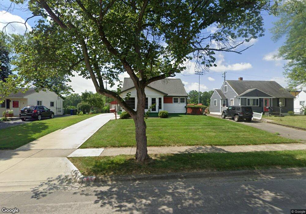
1215 Carbone Dr Columbus, OH 43224
Clinton Estates NeighborhoodEstimated Value: $207,000 - $284,000
3
Beds
2
Baths
1,139
Sq Ft
$213/Sq Ft
Est. Value
About This Home
This home is located at 1215 Carbone Dr, Columbus, OH 43224 and is currently estimated at $242,431, approximately $212 per square foot. 1215 Carbone Dr is a home located in Franklin County with nearby schools including Maize Road Elementary School, Medina Middle School, and Mifflin High School.
Ownership History
Date
Name
Owned For
Owner Type
Purchase Details
Closed on
Oct 14, 2005
Sold by
Leezer Lynn M and Hurst Trust
Bought by
Wade James F and Wade Betty J
Current Estimated Value
Home Financials for this Owner
Home Financials are based on the most recent Mortgage that was taken out on this home.
Original Mortgage
$112,900
Interest Rate
5.82%
Mortgage Type
Purchase Money Mortgage
Purchase Details
Closed on
Apr 24, 1997
Sold by
Hurst George E and Hurst Mary E
Bought by
Hurst George E and Hurst Mary E
Create a Home Valuation Report for This Property
The Home Valuation Report is an in-depth analysis detailing your home's value as well as a comparison with similar homes in the area
Home Values in the Area
Average Home Value in this Area
Purchase History
| Date | Buyer | Sale Price | Title Company |
|---|---|---|---|
| Wade James F | $112,900 | Chicago Tit | |
| Hurst George E | -- | -- |
Source: Public Records
Mortgage History
| Date | Status | Borrower | Loan Amount |
|---|---|---|---|
| Closed | Wade James F | $112,900 |
Source: Public Records
Tax History
| Year | Tax Paid | Tax Assessment Tax Assessment Total Assessment is a certain percentage of the fair market value that is determined by local assessors to be the total taxable value of land and additions on the property. | Land | Improvement |
|---|---|---|---|---|
| 2025 | $2,903 | $64,680 | $19,250 | $45,430 |
| 2024 | $2,903 | $64,680 | $19,250 | $45,430 |
| 2023 | $2,866 | $64,680 | $19,250 | $45,430 |
| 2022 | $2,084 | $40,190 | $7,880 | $32,310 |
| 2021 | $2,088 | $40,190 | $7,880 | $32,310 |
| 2020 | $2,091 | $40,190 | $7,880 | $32,310 |
| 2019 | $1,956 | $32,240 | $6,300 | $25,940 |
| 2018 | $2,006 | $32,240 | $6,300 | $25,940 |
| 2017 | $2,112 | $32,240 | $6,300 | $25,940 |
| 2016 | $2,270 | $34,270 | $6,160 | $28,110 |
| 2015 | $2,061 | $34,270 | $6,160 | $28,110 |
| 2014 | $2,066 | $34,270 | $6,160 | $28,110 |
| 2013 | $1,072 | $36,050 | $6,475 | $29,575 |
Source: Public Records
Map
Nearby Homes
- 1130 Carbone Dr
- 4143 Karl Rd Unit 215
- 4143 Karl Rd Unit 314
- 4145 Karl Rd Unit 223
- 3941 Karl Rd Unit 133
- 3967 Karl Rd Unit 224
- 4320 Sandy Lane Rd
- 3939 Karl Rd Unit 311
- 899 Meadowview Dr
- 4450 N 4th St
- 827 Inwood Place
- 4231 Glenmawr Ave Unit 233
- 867 Overbrook Service Dr
- 991 Hidden Acres Ct Unit 991
- 791 Norris Dr
- 4605 Glenmawr Ave
- 4615 Glenmawr Ave
- 3620 Walmar Dr
- 4795 Colonel Perry Dr
- 3585 Gerbert Rd
- 1223 Carbone Dr
- 1207 Carbone Dr
- 1231 Carbone Dr
- 1201 Carbone Dr
- 1220 Carbone Dr
- 1226 Carbone Dr
- 1193 Carbone Dr
- 1239 Carbone Dr
- 1210 Carbone Dr
- 1234 Carbone Dr
- 1199 Frisbee Dr
- 1245 Carbone Dr
- 1240 Carbone Dr
- 1185 Carbone Dr
- 1209 Frisbee Dr
- 1227 Frisbee Dr
- 1248 Carbone Dr
- 1219 Frisbee Dr
- 1253 Carbone Dr
- 1184 Carbone Dr
Your Personal Tour Guide
Ask me questions while you tour the home.