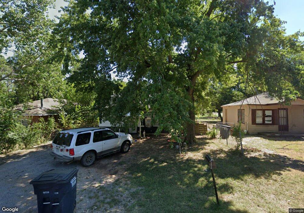
1215 E Margaret St Shawnee, OK 74801
Estimated Value: $60,000 - $105,000
2
Beds
1
Bath
624
Sq Ft
$125/Sq Ft
Est. Value
About This Home
This home is located at 1215 E Margaret St, Shawnee, OK 74801 and is currently estimated at $77,739, approximately $124 per square foot. 1215 E Margaret St is a home located in Pottawatomie County with nearby schools including Horace Mann Elementary School, Shawnee Middle School, and Shawnee High School.
Ownership History
Date
Name
Owned For
Owner Type
Purchase Details
Closed on
Jul 16, 2008
Sold by
Swartz & Brough Inc
Bought by
Watson Tami S
Current Estimated Value
Home Financials for this Owner
Home Financials are based on the most recent Mortgage that was taken out on this home.
Original Mortgage
$20,250
Interest Rate
6.4%
Mortgage Type
Seller Take Back
Purchase Details
Closed on
Jun 16, 2008
Sold by
Hud
Bought by
Swartz & Brough Inc
Home Financials for this Owner
Home Financials are based on the most recent Mortgage that was taken out on this home.
Original Mortgage
$20,250
Interest Rate
6.4%
Mortgage Type
Seller Take Back
Purchase Details
Closed on
Aug 28, 2007
Sold by
Smith Gerald L
Bought by
Hud
Purchase Details
Closed on
Jul 11, 2003
Sold by
Sloan Donald and Sloan Edith
Bought by
Smith Gerald L
Create a Home Valuation Report for This Property
The Home Valuation Report is an in-depth analysis detailing your home's value as well as a comparison with similar homes in the area
Home Values in the Area
Average Home Value in this Area
Purchase History
| Date | Buyer | Sale Price | Title Company |
|---|---|---|---|
| Watson Tami S | $22,500 | None Available | |
| Swartz & Brough Inc | -- | None Available | |
| Hud | -- | None Available | |
| Smith Gerald L | $33,000 | -- |
Source: Public Records
Mortgage History
| Date | Status | Borrower | Loan Amount |
|---|---|---|---|
| Closed | Watson Tami S | $20,250 |
Source: Public Records
Tax History Compared to Growth
Tax History
| Year | Tax Paid | Tax Assessment Tax Assessment Total Assessment is a certain percentage of the fair market value that is determined by local assessors to be the total taxable value of land and additions on the property. | Land | Improvement |
|---|---|---|---|---|
| 2024 | $294 | $2,957 | $598 | $2,359 |
| 2023 | $294 | $2,816 | $581 | $2,235 |
| 2022 | $275 | $2,682 | $554 | $2,128 |
| 2021 | $257 | $2,554 | $528 | $2,026 |
| 2020 | $258 | $2,554 | $528 | $2,026 |
| 2019 | $267 | $2,554 | $528 | $2,026 |
| 2018 | $257 | $2,508 | $528 | $1,980 |
| 2017 | $252 | $2,499 | $528 | $1,971 |
| 2016 | $253 | $2,476 | $528 | $1,948 |
| 2015 | $247 | $2,474 | $528 | $1,946 |
| 2014 | $270 | $2,700 | $505 | $2,195 |
Source: Public Records
Map
Nearby Homes
- 1214 E Edwards St
- 1235 E Edwards St
- 535 N Patchin Ave
- 0 E Fay St
- 1314 E Margaret St
- 1320 E Margaret St
- 1322 E Margaret St
- 1201 N Center Ave
- 1102 E Alice
- 1106 E Alice St
- 544 N Elm Ave
- 1212 E 11th St
- 1330 E Whittaker St
- 1306 E Wallace St
- 1119 E 11th St
- 322 N Draper Ave
- 1103 E 11th St
- 915 E Whittaker St
- 648 N Cleveland Ave
- 1326 E 10th St
- 1211 E Margaret St
- 1217 E Margaret St
- 1201 E Margaret St
- 1226 E Margaret St
- 701 N Center Ave
- 1225 E Margaret St
- 1208 E Margaret St
- 705 N Center Ave
- 1218 E Edwards St
- 602 N Center Ave
- 702 N Center Ave
- 614 N Center Ave
- 1223 E Fay St
- 1207 E Edwards St
- 1203 E Edwards St
- 1213 E Fay St
- 1211 E Edwards St
- 704 N Center Ave
- 1221 E Edwards St
- 1226 E Edwards St