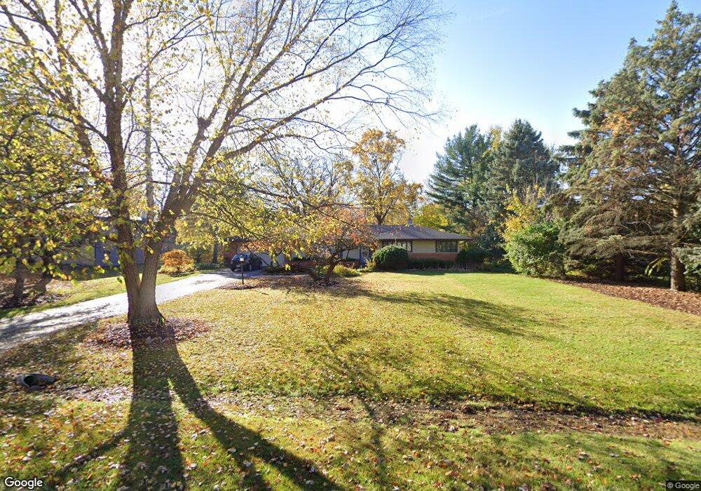
1215 Forest Dr Elgin, IL 60123
Century Oaks NeighborhoodEstimated Value: $375,000 - $410,000
3
Beds
2
Baths
1,698
Sq Ft
$229/Sq Ft
Est. Value
About This Home
This home is located at 1215 Forest Dr, Elgin, IL 60123 and is currently estimated at $388,172, approximately $228 per square foot. 1215 Forest Dr is a home located in Kane County with nearby schools including Century Oaks Elementary School, Kimball Middle School, and Larkin High School.
Ownership History
Date
Name
Owned For
Owner Type
Purchase Details
Closed on
Sep 10, 2014
Sold by
Jones Joseph D and Jones Donna A
Bought by
Perez Erundino A and Perez Cathleen M
Current Estimated Value
Home Financials for this Owner
Home Financials are based on the most recent Mortgage that was taken out on this home.
Original Mortgage
$155,000
Outstanding Balance
$118,531
Interest Rate
4.11%
Mortgage Type
New Conventional
Estimated Equity
$269,641
Create a Home Valuation Report for This Property
The Home Valuation Report is an in-depth analysis detailing your home's value as well as a comparison with similar homes in the area
Home Values in the Area
Average Home Value in this Area
Purchase History
| Date | Buyer | Sale Price | Title Company |
|---|---|---|---|
| Perez Erundino A | $205,000 | First United Title Svcs Inc |
Source: Public Records
Mortgage History
| Date | Status | Borrower | Loan Amount |
|---|---|---|---|
| Open | Perez Erundino A | $155,000 |
Source: Public Records
Tax History
| Year | Tax Paid | Tax Assessment Tax Assessment Total Assessment is a certain percentage of the fair market value that is determined by local assessors to be the total taxable value of land and additions on the property. | Land | Improvement |
|---|---|---|---|---|
| 2024 | $7,832 | $113,863 | $28,975 | $84,888 |
| 2023 | $7,405 | $102,867 | $26,177 | $76,690 |
| 2022 | $7,179 | $93,797 | $23,869 | $69,928 |
| 2021 | $4,407 | $87,694 | $22,316 | $65,378 |
| 2020 | $6,632 | $83,717 | $21,304 | $62,413 |
| 2019 | $6,421 | $79,745 | $20,293 | $59,452 |
| 2018 | $6,340 | $75,125 | $19,117 | $56,008 |
| 2017 | $6,173 | $71,020 | $18,072 | $52,948 |
| 2016 | $5,268 | $65,887 | $16,766 | $49,121 |
| 2015 | -- | $60,392 | $15,368 | $45,024 |
| 2014 | -- | $59,646 | $15,178 | $44,468 |
| 2013 | -- | $61,219 | $15,578 | $45,641 |
Source: Public Records
Map
Nearby Homes
- 1212 Century Oaks Dr
- 1345 S Madlock Ct
- 1790 Devonshire Ct
- 938 Hillcrest Rd
- 2013 Jeffrey Ln Unit 2013
- 1104 Florimond Dr
- 801 N Mclean Blvd Unit 324
- 801 N Mclean Blvd Unit 320
- 764 Scott Dr
- 10 Chateau Dr
- 1419 Harlan Ave
- LOT 17 Teal Ave
- LOTS 14 & 15 Teal Ave
- 1367 Wauchope Dr
- 36 River Ridge Dr
- 936 Glen Oak Dr
- 716 Surrey Ln
- 1101 Richard Rd
- 1045 Richard Rd Unit 207
- 1052 Bayside Rd Unit 213
- 1211 Forest Dr
- 1214 Century Oaks Dr
- 1214 Forest Dr
- 1207 Forest Dr
- 1216 Century Oaks Dr
- 1223 Forest Dr
- 1288 Braeburn Dr
- 1218 Forest Dr
- 1208 Forest Dr
- 1427 Century Oaks Dr
- 1224 Century Oaks Dr
- 1409 Century Oaks Dr
- 1441 Century Oaks Dr
- 1137 Forest Dr
- 1225 Forest Dr
- 1270 Lennoxshire Dr
- 1222 Forest Dr
- 1385 Century Oaks Dr
- 1277 Braeburn Dr
- 1265 Mallard Dr
Your Personal Tour Guide
Ask me questions while you tour the home.