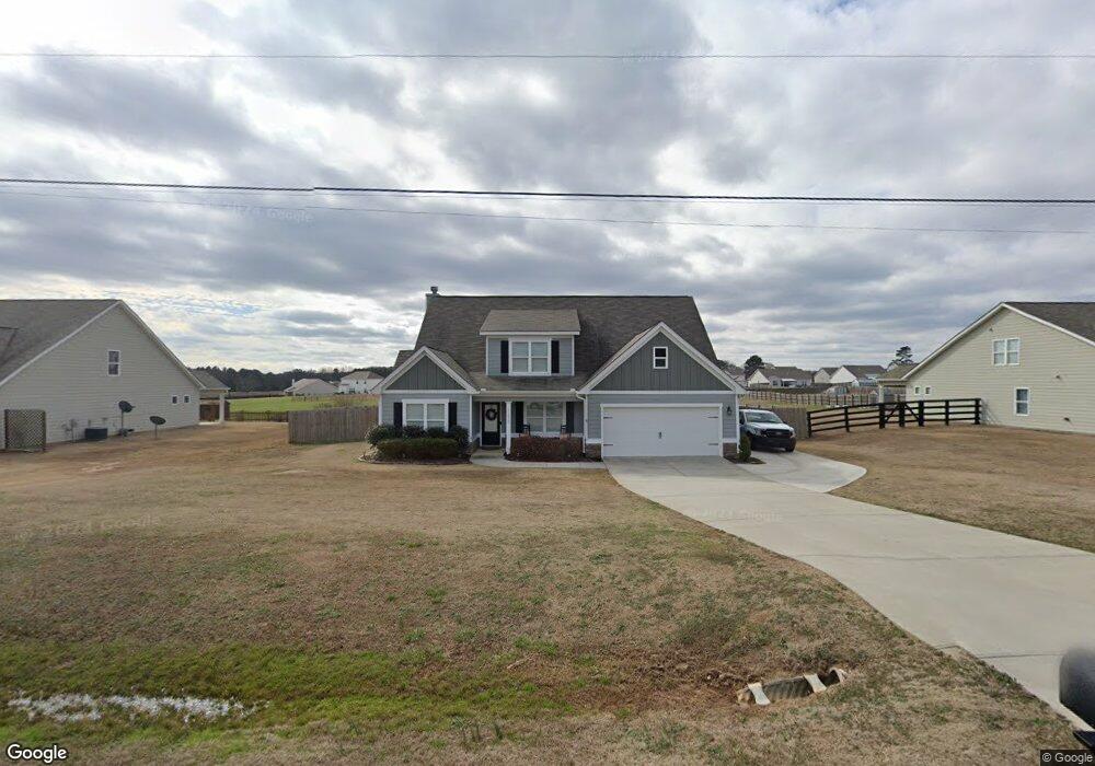
1215 Foster Rd Unit 15 Statham, GA 30666
Estimated Value: $395,000 - $423,000
4
Beds
3
Baths
2,291
Sq Ft
$178/Sq Ft
Est. Value
About This Home
This home is located at 1215 Foster Rd Unit 15, Statham, GA 30666 and is currently estimated at $408,375, approximately $178 per square foot. 1215 Foster Rd Unit 15 is a home located in Barrow County with nearby schools including Bethlehem Elementary School, Haymon-Morris Middle School, and Apalachee High School.
Ownership History
Date
Name
Owned For
Owner Type
Purchase Details
Closed on
Nov 13, 2020
Sold by
Thiessen Joseph Scott
Bought by
Henderson Andrew J and Henderson Kelli
Current Estimated Value
Purchase Details
Closed on
Feb 9, 2018
Sold by
Jp Home Builders Llc
Bought by
Thiessen Joseph Scott and Thiessen Amanda M
Home Financials for this Owner
Home Financials are based on the most recent Mortgage that was taken out on this home.
Original Mortgage
$200,467
Interest Rate
3.99%
Mortgage Type
VA
Create a Home Valuation Report for This Property
The Home Valuation Report is an in-depth analysis detailing your home's value as well as a comparison with similar homes in the area
Home Values in the Area
Average Home Value in this Area
Purchase History
| Date | Buyer | Sale Price | Title Company |
|---|---|---|---|
| Henderson Andrew J | $282,650 | -- | |
| Thiessen Joseph Scott | $207,900 | -- |
Source: Public Records
Mortgage History
| Date | Status | Borrower | Loan Amount |
|---|---|---|---|
| Previous Owner | Thiessen Joseph Scott | $200,467 |
Source: Public Records
Tax History Compared to Growth
Tax History
| Year | Tax Paid | Tax Assessment Tax Assessment Total Assessment is a certain percentage of the fair market value that is determined by local assessors to be the total taxable value of land and additions on the property. | Land | Improvement |
|---|---|---|---|---|
| 2024 | $2,964 | $123,622 | $22,400 | $101,222 |
| 2023 | $2,553 | $124,222 | $22,400 | $101,822 |
| 2022 | $2,727 | $98,984 | $22,400 | $76,584 |
| 2021 | $2,403 | $82,894 | $18,000 | $64,894 |
| 2020 | $2,511 | $82,894 | $18,000 | $64,894 |
| 2019 | $2,557 | $82,894 | $18,000 | $64,894 |
| 2018 | $1,134 | $36,710 | $12,000 | $24,710 |
Source: Public Records
Map
Nearby Homes
- 1190 Foster Rd
- 0 Wall Rd Unit 10504981
- 0 Wall Rd Unit 7564754
- 572 Elder Rd SE
- 568 Elder Rd SE
- 564 Elder Rd SE
- 576 Elder Rd SE
- 112 Shallow Way
- 2439 Kumbanad Ct
- 0 Perkins Rd Unit 10623675
- 0 Perkins Rd Unit 7664605
- The Everglade Plan at Sutton's Landing - Sutton’s Landing
- The Farmington Plan at Sutton's Landing - Sutton’s Landing
- 223 Westlyn Way
- 537 Elder Rd
- 72 Westlyn Ln
- 71 Westlyn Ln
- 61 Westlyn Ln
- 0 Mccarty Rd Unit 10583122
- 1215 Foster Rd
- 1211 Foster Rd
- 1211 Foster Rd Unit 14
- 1221 Foster Rd
- 1221 Foster Rd Unit 16
- 1207 Foster Rd
- 1207 Foster Rd Unit 13
- 1225 Foster Rd
- 1225 Foster Rd Unit 17
- 137 Bowman Dr
- 1203 Foster Rd
- 1203 Foster Rd Unit 12
- 153 Bowman Dr
- 173 Bowman Dr
- 195 Bowman Dr
- 1199 Foster Rd
- 1199 Foster Rd Unit 11
- 123 Bowman Dr
- 213 Bowman Dr
- 1216 Foster Rd