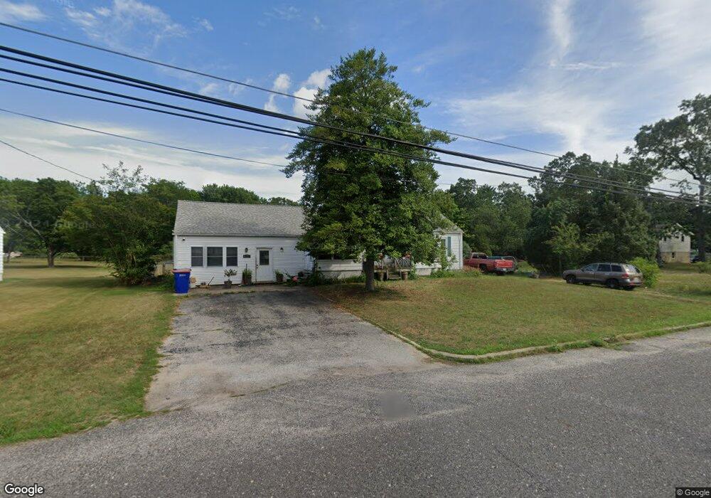
1215 Hance Bridge Rd Millville, NJ 08332
Estimated Value: $194,323 - $237,000
--
Bed
--
Bath
920
Sq Ft
$234/Sq Ft
Est. Value
About This Home
This home is located at 1215 Hance Bridge Rd, Millville, NJ 08332 and is currently estimated at $214,831, approximately $233 per square foot. 1215 Hance Bridge Rd is a home located in Cumberland County with nearby schools including Holly Heights Elementary School, Lakeside Middle School, and Memorial High School.
Ownership History
Date
Name
Owned For
Owner Type
Purchase Details
Closed on
Feb 25, 1999
Sold by
Phrampus Edward D
Bought by
Banks Brian
Current Estimated Value
Home Financials for this Owner
Home Financials are based on the most recent Mortgage that was taken out on this home.
Original Mortgage
$67,500
Outstanding Balance
$16,378
Interest Rate
6.78%
Estimated Equity
$198,453
Create a Home Valuation Report for This Property
The Home Valuation Report is an in-depth analysis detailing your home's value as well as a comparison with similar homes in the area
Home Values in the Area
Average Home Value in this Area
Purchase History
| Date | Buyer | Sale Price | Title Company |
|---|---|---|---|
| Banks Brian | $75,000 | -- |
Source: Public Records
Mortgage History
| Date | Status | Borrower | Loan Amount |
|---|---|---|---|
| Open | Banks Brian | $67,500 |
Source: Public Records
Tax History Compared to Growth
Tax History
| Year | Tax Paid | Tax Assessment Tax Assessment Total Assessment is a certain percentage of the fair market value that is determined by local assessors to be the total taxable value of land and additions on the property. | Land | Improvement |
|---|---|---|---|---|
| 2025 | $3,748 | $95,500 | $27,600 | $67,900 |
| 2024 | $3,748 | $95,500 | $27,600 | $67,900 |
| 2023 | $3,717 | $95,500 | $27,600 | $67,900 |
| 2022 | $3,620 | $95,500 | $27,600 | $67,900 |
| 2021 | $3,503 | $95,500 | $27,600 | $67,900 |
| 2020 | $3,445 | $95,500 | $27,600 | $67,900 |
| 2019 | $3,285 | $95,500 | $27,600 | $67,900 |
| 2018 | $3,217 | $95,500 | $27,600 | $67,900 |
| 2017 | $3,188 | $95,500 | $27,600 | $67,900 |
| 2016 | $3,148 | $95,500 | $27,600 | $67,900 |
| 2015 | $3,077 | $95,500 | $27,600 | $67,900 |
| 2014 | $3,083 | $95,500 | $27,600 | $67,900 |
Source: Public Records
Map
Nearby Homes
- 910 Hill Ln
- 909 Barbara Terrace
- 902 E St
- 1916 Bessie Way
- 2000 Miller Ave Unit 26
- 15 N 13th St
- 300 302 D St
- 204 N 8th St
- 2 N 13th St
- 447 Manor Ave
- 6 N 10th St
- 429 Manor Ave
- 327 -329 E Oak St
- 607 E Mulberry St
- 610 E Pine St
- 4225 Mays Landing Rd
- 323 D St
- 1812 Newcombtown Rd
- 724 Wheaton Ave
- 722 Wheaton Ave Unit 724
- 1401 Hance Bridge Rd
- 1209 Hance Bridge Rd
- 1222 E Broad St
- 1224 E Broad St
- 1220 E Broad St
- 1218 Hance Bridge Rd
- 1407 Hance Bridge Rd
- 1222 Hance Bridge Rd
- 1214 Hance Bridge Rd
- 1214 E Broad St
- 1228 E Broad St
- 1408 Hance Bridge Rd
- 1201 Hance Bridge Rd
- 1206 Hance Bridge Rd
- 1210 E Broad St
- 1204 Hance Bridge Rd
- 901 Barbara Terrace
- 913 Hill Ln
- 1206 E Broad St
- 1223 E Broad St