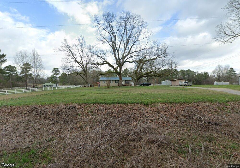
1215 Highway 201 Calera, AL 35040
Estimated Value: $120,000 - $195,000
--
Bed
--
Bath
1,008
Sq Ft
$150/Sq Ft
Est. Value
About This Home
This home is located at 1215 Highway 201, Calera, AL 35040 and is currently estimated at $151,291, approximately $150 per square foot. 1215 Highway 201 is a home located in Shelby County with nearby schools including Calera Intermediate School, Calera Elementary School, and Calera Middle School.
Ownership History
Date
Name
Owned For
Owner Type
Purchase Details
Closed on
Jul 30, 2007
Sold by
Wells Fargo Bank Na
Bought by
Middleton Roger D
Current Estimated Value
Home Financials for this Owner
Home Financials are based on the most recent Mortgage that was taken out on this home.
Original Mortgage
$70,775
Interest Rate
6.55%
Mortgage Type
Purchase Money Mortgage
Purchase Details
Closed on
Feb 20, 2007
Sold by
Dawkins Joel Kim and Dawkins Kathy
Bought by
Wells Fargo Bank Na
Purchase Details
Closed on
Apr 14, 2000
Sold by
Schuermans Ashley Ann King
Bought by
Dawkins Joel Kim
Home Financials for this Owner
Home Financials are based on the most recent Mortgage that was taken out on this home.
Original Mortgage
$56,500
Interest Rate
8.24%
Create a Home Valuation Report for This Property
The Home Valuation Report is an in-depth analysis detailing your home's value as well as a comparison with similar homes in the area
Home Values in the Area
Average Home Value in this Area
Purchase History
| Date | Buyer | Sale Price | Title Company |
|---|---|---|---|
| Middleton Roger D | $74,500 | None Available | |
| Wells Fargo Bank Na | $96,187 | None Available | |
| Dawkins Joel Kim | $66,300 | -- |
Source: Public Records
Mortgage History
| Date | Status | Borrower | Loan Amount |
|---|---|---|---|
| Previous Owner | Middleton Roger D | $70,775 | |
| Previous Owner | Dawkins Joel Kim | $56,500 |
Source: Public Records
Tax History Compared to Growth
Tax History
| Year | Tax Paid | Tax Assessment Tax Assessment Total Assessment is a certain percentage of the fair market value that is determined by local assessors to be the total taxable value of land and additions on the property. | Land | Improvement |
|---|---|---|---|---|
| 2024 | $480 | $10,920 | $0 | $0 |
| 2023 | $391 | $9,820 | $0 | $0 |
| 2022 | $336 | $8,560 | $0 | $0 |
| 2021 | $304 | $7,840 | $0 | $0 |
| 2020 | $271 | $7,080 | $0 | $0 |
| 2019 | $249 | $6,600 | $0 | $0 |
| 2017 | $256 | $6,740 | $0 | $0 |
| 2015 | $246 | $6,520 | $0 | $0 |
| 2014 | $244 | $6,480 | $0 | $0 |
Source: Public Records
Map
Nearby Homes
- 390 County Road 866
- 0 Milstead Dr Unit 1
- 175 County Road 1016
- 3064 County Road 54
- 460 County Road 116
- 381 Shiloh Creek Dr
- 377 Shiloh Creek Dr
- Toby C (SC) Plan at The Cove at Shiloh Creek
- The Tate A Plan at The Cove at Shiloh Creek
- The Toby B Plan at The Cove at Shiloh Creek
- The Hayden A Plan at The Cove at Shiloh Creek
- The Toby C Plan at The Cove at Shiloh Creek
- The Haley B Plan at The Cove at Shiloh Creek
- The Haley C Plan at The Cove at Shiloh Creek
- The Hampton C Plan at The Cove at Shiloh Creek
- The Hampton B Plan at The Cove at Shiloh Creek
- The Toby A Plan at The Cove at Shiloh Creek
- The Haley A Plan at The Cove at Shiloh Creek
- 259 Creek Run Way
- 11 Oneal Dr
- 1233 Highway 201
- 1233 Co Rd 201
- 5130 Highway 20
- 1112 County Rd 127 & County Rd 201 Rd
- 5064 Highway 20
- 1350 Highway 201
- 1350 Highway 201
- 1379 Highway 201
- 1408 Highway 201
- 1408 201
- 1405 Highway 201
- 1434 Highway 201
- 1426 Highway 201
- 4998 Highway 20
- 1300 Highway 201
- 1300 Highway 201
- 1233 County Road 201
- 1715 County Road 201
- 1505 Highway 201
- 1539 Highway 201