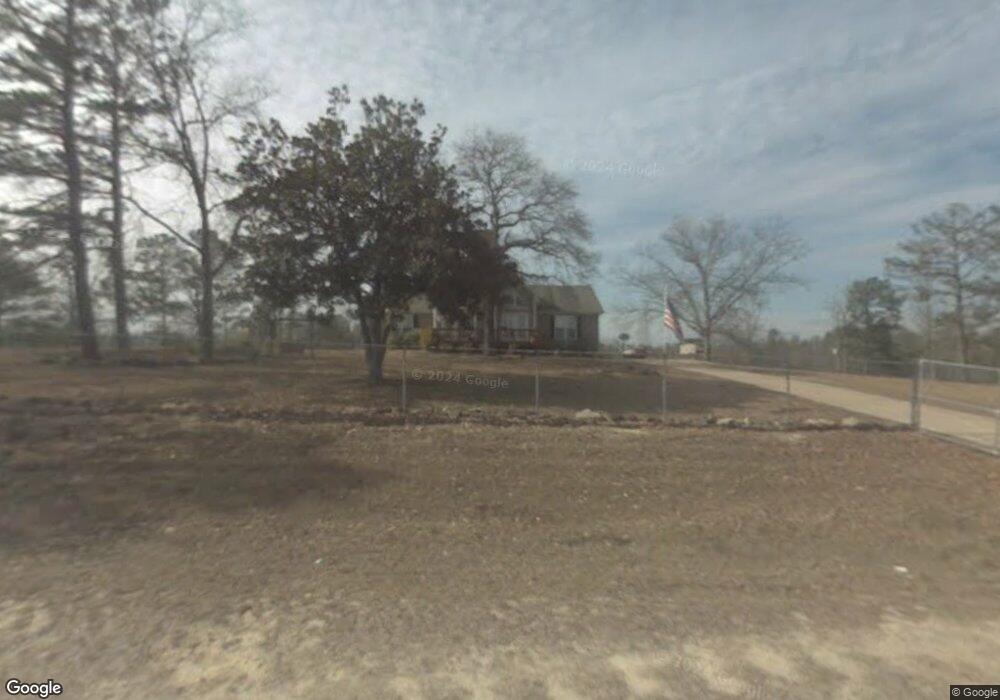
1215 Hut Rd Box Springs, GA 31801
Estimated Value: $265,793 - $337,000
3
Beds
2
Baths
2,334
Sq Ft
$127/Sq Ft
Est. Value
About This Home
This home is located at 1215 Hut Rd, Box Springs, GA 31801 and is currently estimated at $296,698, approximately $127 per square foot. 1215 Hut Rd is a home located in Talbot County with nearby schools including Central School.
Ownership History
Date
Name
Owned For
Owner Type
Purchase Details
Closed on
Apr 4, 2002
Sold by
Batastini Susan
Bought by
Batastini Todd
Current Estimated Value
Purchase Details
Closed on
Jan 1, 1992
Sold by
Previous
Bought by
Hobbs
Purchase Details
Closed on
Jan 1, 1984
Sold by
Previous
Bought by
Previous
Purchase Details
Closed on
Jan 1, 1983
Sold by
Previous
Bought by
Previous
Purchase Details
Closed on
Jan 1, 1976
Bought by
Previous
Create a Home Valuation Report for This Property
The Home Valuation Report is an in-depth analysis detailing your home's value as well as a comparison with similar homes in the area
Home Values in the Area
Average Home Value in this Area
Purchase History
| Date | Buyer | Sale Price | Title Company |
|---|---|---|---|
| Batastini Todd | -- | -- | |
| Hobbs | $22,500 | -- | |
| Previous | $2,500 | -- | |
| Previous | -- | -- | |
| Previous | -- | -- |
Source: Public Records
Tax History Compared to Growth
Tax History
| Year | Tax Paid | Tax Assessment Tax Assessment Total Assessment is a certain percentage of the fair market value that is determined by local assessors to be the total taxable value of land and additions on the property. | Land | Improvement |
|---|---|---|---|---|
| 2024 | $2,503 | $76,816 | $2,804 | $74,012 |
| 2023 | $2,070 | $63,358 | $2,722 | $60,636 |
| 2022 | $1,974 | $64,096 | $2,722 | $61,374 |
| 2021 | $1,930 | $62,984 | $2,592 | $60,392 |
| 2020 | $1,641 | $52,118 | $2,592 | $49,526 |
| 2019 | $1,703 | $54,192 | $2,592 | $51,600 |
| 2018 | $1,632 | $54,192 | $2,592 | $51,600 |
| 2017 | $1,700 | $54,192 | $2,592 | $51,600 |
| 2016 | $1,896 | $60,515 | $2,592 | $57,923 |
| 2015 | -- | $61,364 | $3,441 | $57,923 |
| 2013 | -- | $56,110 | $4,096 | $52,013 |
Source: Public Records
Map
Nearby Homes
- 1550 Hut Rd
- 422 Baker Creek Dr
- 641 Cusseta Hwy
- 1310 Doctor Brooks Rd
- 7019 Kendall Creek Dr
- 8701 Mckee Rd
- 8715 Mckee Rd
- 8711 Mckee Rd
- 8695 Mckee Rd
- 8705 Mckee Rd
- 1300 Dr Brooks Rd
- 14270 Cross Creek Rd
- 63 Spring St
- 64 Spring St
- 8585 Mckee Rd
- 7524 Hedgestone Dr
- 5301 Geneva Hwy
- 0 Boyd Ct
- 13642 Macon Rd
- 7232 Woodhaven Dr