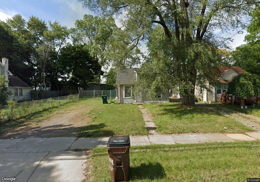
1215 Lake Lansing Rd Lansing, MI 48906
Northside Lansing Neighborhood
1
Bed
1
Bath
660
Sq Ft
4,356
Sq Ft Lot
About This Home
This home is located at 1215 Lake Lansing Rd, Lansing, MI 48906. 1215 Lake Lansing Rd is a home located in Ingham County with nearby schools including Gier Park School, Pattengill Academy, and Eastern High School.
Create a Home Valuation Report for This Property
The Home Valuation Report is an in-depth analysis detailing your home's value as well as a comparison with similar homes in the area
Home Values in the Area
Average Home Value in this Area
Tax History Compared to Growth
Map
Nearby Homes
- 0 Lake Lansing Rd Unit 289258
- 2318 N High St
- 1016 Lake Lansing Rd
- 1811 Vermont Ave
- 1810 N High St
- 1017 Whyte St
- 801 Banghart St
- 1624 N High St
- 1613 Massachusetts Ave
- 1919 N East St
- 1530 New York Ave
- 1527 Massachusetts Ave
- 1415 New York Ave
- 1317 Illinois Ave
- V/L (1036) N Larch St
- 816 Orchard Glen Ave
- 2508 Gary Ave
- 14120 Wood St
- 1141 Farrand St
- 1312 Otto St
- 1219 Lake Lansing Rd
- 1213 Lake Lansing Rd
- 1209 Lake Lansing Rd
- 2220 Rheamount Ave
- 1227 Lake Lansing Rd
- 1205 Lake Lansing Rd
- 1231 Lake Lansing Rd
- 2300 Rheamount Ave
- 1144 Lake Lansing Rd
- 1235 Lake
- 1235 Lake Lansing Rd
- 2304 Rheamount Ave
- 1134 Lake Lansing Rd
- 1132 Lake Lansing Rd
- 2223 Rheamount Ave
- 2308 Rheamount Ave
- 1206 Lake Lansing Rd
- 2229 Rheamount Ave
- 2219 Rheamount Ave