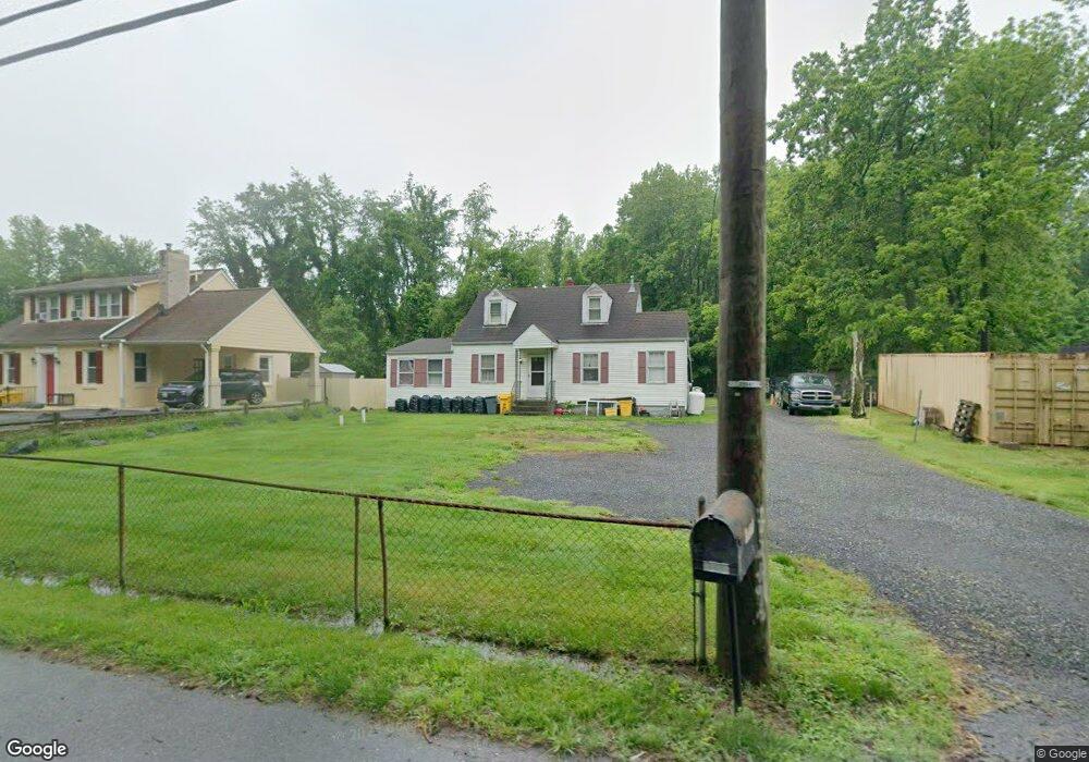
1215 Marlboro Rd Lothian, MD 20711
Estimated Value: $331,889 - $420,000
--
Bed
1
Bath
1,428
Sq Ft
$261/Sq Ft
Est. Value
About This Home
This home is located at 1215 Marlboro Rd, Lothian, MD 20711 and is currently estimated at $372,972, approximately $261 per square foot. 1215 Marlboro Rd is a home located in Anne Arundel County with nearby schools including Tracey's Elementary School, Southern Middle School, and Southern High School.
Ownership History
Date
Name
Owned For
Owner Type
Purchase Details
Closed on
Oct 4, 2005
Sold by
Jones James T
Bought by
Jones Norma
Current Estimated Value
Home Financials for this Owner
Home Financials are based on the most recent Mortgage that was taken out on this home.
Original Mortgage
$144,000
Outstanding Balance
$77,367
Interest Rate
5.82%
Mortgage Type
New Conventional
Estimated Equity
$295,605
Purchase Details
Closed on
Jun 15, 1994
Sold by
Chesley Real Estate Inc
Bought by
Jones James T
Home Financials for this Owner
Home Financials are based on the most recent Mortgage that was taken out on this home.
Original Mortgage
$110,634
Interest Rate
8.5%
Mortgage Type
Purchase Money Mortgage
Purchase Details
Closed on
Feb 24, 1994
Sold by
Fitzwater R J
Bought by
Chesley Real Est William F
Create a Home Valuation Report for This Property
The Home Valuation Report is an in-depth analysis detailing your home's value as well as a comparison with similar homes in the area
Home Values in the Area
Average Home Value in this Area
Purchase History
| Date | Buyer | Sale Price | Title Company |
|---|---|---|---|
| Jones Norma | -- | -- | |
| Jones James T | $111,800 | -- | |
| Chesley Real Est William F | $25,000 | -- |
Source: Public Records
Mortgage History
| Date | Status | Borrower | Loan Amount |
|---|---|---|---|
| Open | Jones Norma | $144,000 | |
| Previous Owner | Chesley Real Est William F | $110,634 |
Source: Public Records
Tax History Compared to Growth
Tax History
| Year | Tax Paid | Tax Assessment Tax Assessment Total Assessment is a certain percentage of the fair market value that is determined by local assessors to be the total taxable value of land and additions on the property. | Land | Improvement |
|---|---|---|---|---|
| 2025 | $4,025 | $329,500 | -- | -- |
| 2024 | $4,025 | $307,200 | $0 | $0 |
| 2023 | $3,111 | $284,900 | $157,900 | $127,000 |
| 2022 | $3,532 | $282,500 | $0 | $0 |
| 2021 | $3,507 | $280,100 | $0 | $0 |
| 2020 | $3,441 | $277,700 | $157,900 | $119,800 |
| 2019 | $3,388 | $272,333 | $0 | $0 |
| 2018 | $2,707 | $266,967 | $0 | $0 |
| 2017 | $3,194 | $261,600 | $0 | $0 |
| 2016 | -- | $236,933 | $0 | $0 |
| 2015 | -- | $212,267 | $0 | $0 |
| 2014 | -- | $187,600 | $0 | $0 |
Source: Public Records
Map
Nearby Homes
- 1154 Mount Zion Marlboro Rd
- 1156 Mount Zion Marlboro Rd
- 1218 Whittington Dr
- 92 Patuxent Mobile Estates
- 76 Patuxent Mobile Estates
- 6 Patuxent Mobile Estates
- 318 Ella Dr
- 190 Boones Dr
- 214 Konrad Morgan Way
- 263 Konrad Morgan Way
- 997 Mount Zion Marlboro Rd
- 484 Keith Ct
- 26 2nd St
- 148 1st St
- 460 Sarah Anne Dr
- 5709 Plummer Ln
- 896 Mount Zion Marlboro Rd
- 17120 Fairway View Ln
- 17211 Usher Place
- 5248 Ferry Branch Ln
- 1213 Mt Zion Marlboro Rd W
- 1213 Mt Zion Marlboro Rd
- 1213 Marlboro Rd
- 1217 Marlboro Rd
- 1221 Mt Zion Marlboro Rd
- 1221 Mount Zion Marlboro Rd
- 1221 Marlboro Rd
- 1203 Mount Zion Marlboro Rd
- 1203 Marlboro Rd
- 1203 Mt Zion Marlboro Rd
- 1227 Marlboro Rd
- 1222 Marlboro Rd
- 1201 Marlboro Rd
- 1228 Marlboro Rd
- 1229 Marlboro Rd
- 1204 Marlboro Rd
- 1231 Marlboro Rd
- 1234 Marlboro Rd
- 1235 Marlboro Rd
- 1238 Marlboro Rd