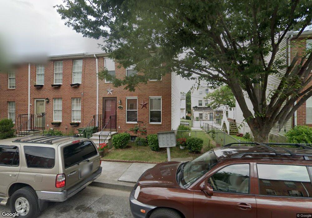
1215 N Parrish St Baltimore, MD 21217
Sandtown-Winchester NeighborhoodEstimated Value: $158,000
Studio
--
Bath
--
Sq Ft
1,568
Sq Ft
About This Home
This home is located at 1215 N Parrish St, Baltimore, MD 21217 and is currently estimated at $158,000. 1215 N Parrish St is a home located in Baltimore City with nearby schools including Sandtown-Winchester Achievement Academy, Booker T. Washington Middle School, and Frederick Douglass High School.
Ownership History
Date
Name
Owned For
Owner Type
Purchase Details
Closed on
Sep 25, 2021
Sold by
Holland Joan Crawford
Bought by
Holland Joan Crawford and Holland Cheykira Cintay
Current Estimated Value
Purchase Details
Closed on
Sep 21, 1992
Sold by
Enterprise Nehemiah
Bought by
Crawford Joan
Create a Home Valuation Report for This Property
The Home Valuation Report is an in-depth analysis detailing your home's value as well as a comparison with similar homes in the area
Home Values in the Area
Average Home Value in this Area
Purchase History
| Date | Buyer | Sale Price | Title Company |
|---|---|---|---|
| Holland Joan Crawford | -- | None Available | |
| Crawford Joan | $58,500 | -- |
Source: Public Records
Tax History
| Year | Tax Paid | Tax Assessment Tax Assessment Total Assessment is a certain percentage of the fair market value that is determined by local assessors to be the total taxable value of land and additions on the property. | Land | Improvement |
|---|---|---|---|---|
| 2025 | $1,804 | $83,400 | -- | -- |
| 2024 | $1,804 | $76,800 | -- | -- |
| 2023 | $1,649 | $70,200 | $14,000 | $56,200 |
| 2022 | $1,576 | $66,800 | $0 | $0 |
| 2021 | $1,496 | $63,400 | $0 | $0 |
| 2020 | $1,280 | $60,000 | $12,000 | $48,000 |
| 2019 | $1,274 | $60,000 | $12,000 | $48,000 |
| 2018 | $1,296 | $60,000 | $12,000 | $48,000 |
| 2017 | $1,534 | $70,200 | $0 | $0 |
| 2016 | $904 | $60,800 | $0 | $0 |
| 2015 | $904 | $51,400 | $0 | $0 |
| 2014 | $904 | $42,000 | $0 | $0 |
Source: Public Records
Map
Nearby Homes
- 1152 N Stricker St
- 1219 N Parrish St
- 1107 N Gilmor St
- 1118 N Gilmor St
- 1631 Laurens St
- 1527 Riggs Ave
- 1137 N Mount St
- 1605 Riggs Ave
- 1022 N Gilmor St
- 1019 N Mount St
- 923 N Gilmor St
- 1011 N Mount St
- 1306 N Carey St
- 1404 Mosher St
- 1007 N Mount St
- 1415 Mosher St
- 1026 N Carey St
- 929 N Stricker St
- 1623 Mosher St
- 1708 Lorman St
- 1217 N Parrish St
- 1213 N Parrish St
- 1211 N Parrish St
- 1221 N Parrish St
- 1209 N Parrish St
- 1223 N Parrish St
- 1218 N Stricker St
- 1220 N Stricker St
- 1214 N Stricker St
- 1222 N Stricker St
- 1207 N Parrish St
- 1225 N Parrish St
- 1224 N Stricker St
- 1216 N Stricker St
- 1214 N Parrish St
- 1212 N Parrish St
- 1210 N Stricker St
- 1216 N Parrish St
- 1210 N Parrish St
- 1212 N Stricker St
Your Personal Tour Guide
Ask me questions while you tour the home.