1215 N Stine Rd Charlotte, MI 48813
Estimated Value: $181,825 - $277,000
2
Beds
1
Bath
882
Sq Ft
$271/Sq Ft
Est. Value
About This Home
This home is located at 1215 N Stine Rd, Charlotte, MI 48813 and is currently estimated at $238,706, approximately $270 per square foot. 1215 N Stine Rd is a home located in Eaton County with nearby schools including Washington Elementary School, Charlotte Middle School, and Charlotte Upper Elementary School.
Ownership History
Date
Name
Owned For
Owner Type
Purchase Details
Closed on
Oct 1, 2014
Sold by
Mason Frederick E and Mason Bonnie L
Bought by
Mason Joseph E and Mason Bethany A
Current Estimated Value
Purchase Details
Closed on
Nov 22, 2013
Sold by
Pung Richard J and Pung Maryann
Bought by
Mason Frederick E and Mason Bonnie L
Purchase Details
Closed on
Nov 6, 2013
Sold by
Pung Richard J and Pung Mary Ann
Bought by
Hooey J Tim and Hooey Joanne L
Purchase Details
Closed on
Aug 12, 2011
Sold by
Pung John J and Pung Kathryn A
Bought by
Pung Richard J
Create a Home Valuation Report for This Property
The Home Valuation Report is an in-depth analysis detailing your home's value as well as a comparison with similar homes in the area
Home Values in the Area
Average Home Value in this Area
Purchase History
| Date | Buyer | Sale Price | Title Company |
|---|---|---|---|
| Mason Joseph E | -- | None Available | |
| Mason Frederick E | $25,000 | None Available | |
| Hooey J Tim | $130,000 | Midstate Title Agency Llc | |
| Pung Richard J | $80,000 | Midstate Charlotte |
Source: Public Records
Tax History Compared to Growth
Tax History
| Year | Tax Paid | Tax Assessment Tax Assessment Total Assessment is a certain percentage of the fair market value that is determined by local assessors to be the total taxable value of land and additions on the property. | Land | Improvement |
|---|---|---|---|---|
| 2025 | $1,317 | $83,850 | $0 | $0 |
| 2024 | $471 | $89,100 | $0 | $0 |
| 2023 | $448 | $81,530 | $0 | $0 |
| 2022 | $1,157 | $56,770 | $0 | $0 |
| 2021 | $1,153 | $47,540 | $0 | $0 |
| 2020 | $1,714 | $46,800 | $0 | $0 |
| 2019 | $1,687 | $43,400 | $0 | $0 |
| 2018 | $1,648 | $38,338 | $0 | $0 |
| 2017 | $1,597 | $37,926 | $0 | $0 |
| 2016 | -- | $36,693 | $0 | $0 |
| 2015 | -- | $34,855 | $0 | $0 |
| 2014 | -- | $32,871 | $0 | $0 |
| 2013 | -- | $0 | $0 | $0 |
Source: Public Records
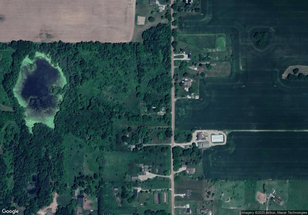
Map
Nearby Homes
- 2402 N Stine Rd
- 220 N Chester Rd
- Vl W Kinsel Hwy
- 1288 Tori Trail
- 525 N Wheaton Rd
- 1272 W Lawrence Hwy
- 674 Beech Hwy
- Vl Montels Parcel D Way
- 922 High St
- 717 High St
- 0 Montels Parcel H Way
- 138 Canterbury Dr
- 519 Amity St
- 4755 Carlisle Hwy
- 854 S Ainger Rd
- 0 E Kinsel Hwy Unit 20251030636
- 827 Walnut St
- 113 S Clinton St
- 206 W Harris St
- 428 N Washington St
- 1336 N Stine Rd
- 1207 N Stine Rd
- 1348 N Stine Rd
- 1366 N Stine Rd
- 1149 N Stine Rd
- 1156 N Stine Rd
- 1124 N Stine Rd
- 1127 N Stine Rd
- 1436 N Stine Rd
- 1088 N Stine Rd
- 2934 Buds Ln
- 1079 N Stine Rd
- 2920 Buds Ln
- 1049 N Stine Rd
- 3090 Valley Hwy
- 3086 Valley Hwy
- 3112 Valley Hwy
- 1576 N Stine Rd
- 2836 Buds Ln
- 3214 Valley Hwy