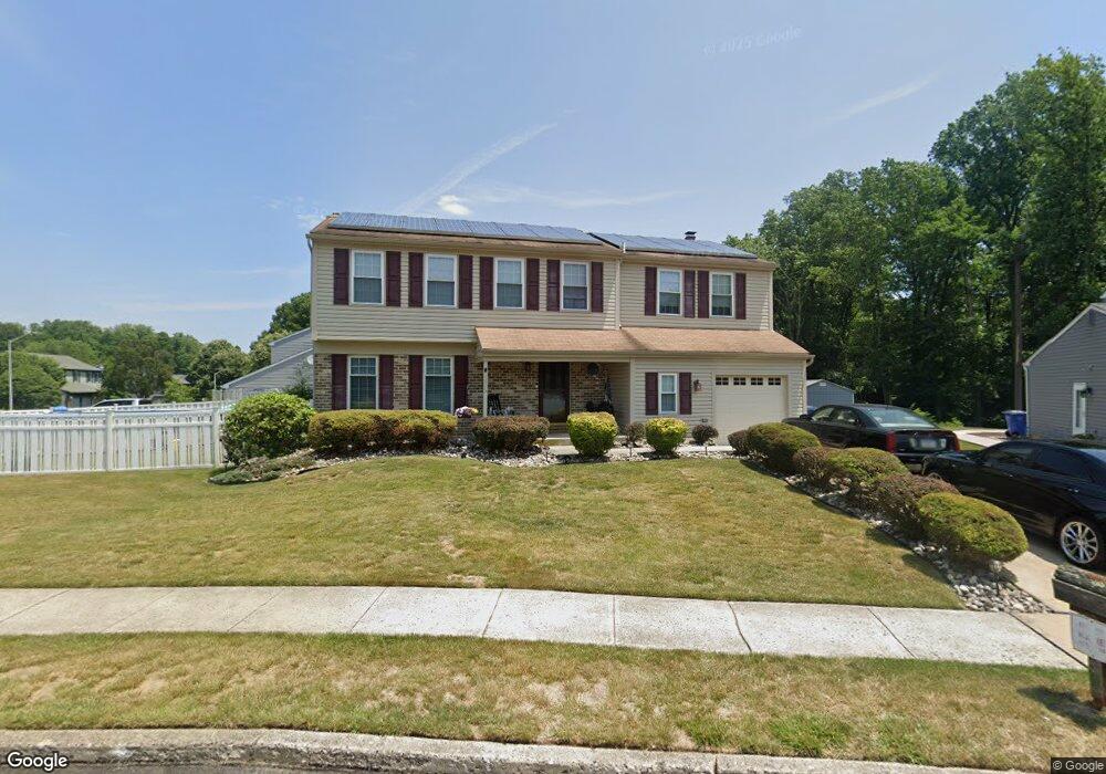
1215 Newport Mews Dr Bensalem, PA 19020
Estimated Value: $618,000 - $709,000
4
Beds
3
Baths
2,934
Sq Ft
$226/Sq Ft
Est. Value
About This Home
This home is located at 1215 Newport Mews Dr, Bensalem, PA 19020 and is currently estimated at $663,535, approximately $226 per square foot. 1215 Newport Mews Dr is a home located in Bucks County with nearby schools including St. Ephrem School, Isabet Academy, and Holy Ghost Preparatory School.
Ownership History
Date
Name
Owned For
Owner Type
Purchase Details
Closed on
Jun 5, 1998
Sold by
Nerone Matthew and Nerone Paula L
Bought by
Mcandrews Michael and Mcandrews Mary J
Current Estimated Value
Home Financials for this Owner
Home Financials are based on the most recent Mortgage that was taken out on this home.
Original Mortgage
$128,450
Outstanding Balance
$29,247
Interest Rate
8.62%
Estimated Equity
$634,288
Purchase Details
Closed on
Sep 24, 1990
Bought by
Nerone Matthew and Nerone Paula L
Create a Home Valuation Report for This Property
The Home Valuation Report is an in-depth analysis detailing your home's value as well as a comparison with similar homes in the area
Home Values in the Area
Average Home Value in this Area
Purchase History
| Date | Buyer | Sale Price | Title Company |
|---|---|---|---|
| Mcandrews Michael | $183,500 | First American Title Ins Co | |
| Nerone Matthew | $158,500 | -- |
Source: Public Records
Mortgage History
| Date | Status | Borrower | Loan Amount |
|---|---|---|---|
| Open | Mcandrews Michael | $128,450 |
Source: Public Records
Tax History Compared to Growth
Tax History
| Year | Tax Paid | Tax Assessment Tax Assessment Total Assessment is a certain percentage of the fair market value that is determined by local assessors to be the total taxable value of land and additions on the property. | Land | Improvement |
|---|---|---|---|---|
| 2025 | $8,365 | $38,320 | $7,760 | $30,560 |
| 2024 | $8,365 | $38,320 | $7,760 | $30,560 |
| 2023 | $8,129 | $38,320 | $7,760 | $30,560 |
| 2022 | $8,082 | $38,320 | $7,760 | $30,560 |
| 2021 | $8,082 | $38,320 | $7,760 | $30,560 |
| 2020 | $8,001 | $38,320 | $7,760 | $30,560 |
| 2019 | $7,822 | $38,320 | $7,760 | $30,560 |
| 2018 | $7,641 | $38,320 | $7,760 | $30,560 |
| 2017 | $7,593 | $38,320 | $7,760 | $30,560 |
| 2016 | $7,593 | $38,320 | $7,760 | $30,560 |
| 2015 | -- | $38,320 | $7,760 | $30,560 |
| 2014 | -- | $38,320 | $7,760 | $30,560 |
Source: Public Records
Map
Nearby Homes
- 1368 Arundel Way
- 1398 Arundel Way
- 1393 Argyle Way
- 1302 Gibson Rd Unit 106
- 1302 Gibson Rd
- 1421 Alexander Way
- 1446 Gibson Rd
- 1446 Gibson Rd Unit D50
- 423 N Mount Vernon Cir Unit 423
- 5102 Lighthouse Ln
- 446 N Mount Vernon Cir Unit 446
- 389 Rutgers Ct Unit 389
- 3300 Newportville Rd
- 396 Rutgers Ct Unit 396
- 1100 Wayland Ave
- 1018 Wildwood Ave
- 1852 Gibson Rd Unit 58
- 5817 Cricket Ln
- 801 Cliff Rd
- 1639 Briarwood Dr Unit 145
- 1049 Morton Place
- 1207 Newport Mews Dr
- 1041 Morton Place
- 1210 Newport Mews Dr
- 1218 Newport Mews Dr
- 1058 Morton Place
- 1199 Newport Mews Dr
- 1050 Morton Place
- 1226 Newport Mews Dr
- 1033 Morton Place
- 5309 Muriel Ln
- 5301 Muriel Ln
- 1042 Morton Place
- 5317 Muriel Ln
- 1191 Newport Mews Dr
- 1048 Newport Mews Dr
- 1040 Newport Mews Dr
- 5325 Muriel Ln
- 1234 Newport Mews Dr
- 1034 Morton Place