1215 Old Farm Ln Unit 39 Springfield, OH 45503
Estimated Value: $217,000 - $219,378
2
Beds
2
Baths
1,365
Sq Ft
$160/Sq Ft
Est. Value
About This Home
This home is located at 1215 Old Farm Ln Unit 39, Springfield, OH 45503 and is currently estimated at $218,095, approximately $159 per square foot. 1215 Old Farm Ln Unit 39 is a home located in Clark County with nearby schools including Northridge Elementary School, Kenton Ridge Middle & High School, and Emmanuel Christian Academy.
Ownership History
Date
Name
Owned For
Owner Type
Purchase Details
Closed on
Oct 14, 2022
Sold by
Mincer Freida M
Bought by
Weimer Marlea L
Current Estimated Value
Purchase Details
Closed on
Oct 21, 2004
Sold by
Detling John F
Bought by
Mincer Ward R and Mincer Freida M
Home Financials for this Owner
Home Financials are based on the most recent Mortgage that was taken out on this home.
Original Mortgage
$67,000
Interest Rate
5.93%
Mortgage Type
Purchase Money Mortgage
Purchase Details
Closed on
Sep 16, 1997
Sold by
Wrenwood Dev Corp
Bought by
John F Detling
Home Financials for this Owner
Home Financials are based on the most recent Mortgage that was taken out on this home.
Original Mortgage
$39,000
Interest Rate
7.44%
Mortgage Type
New Conventional
Create a Home Valuation Report for This Property
The Home Valuation Report is an in-depth analysis detailing your home's value as well as a comparison with similar homes in the area
Home Values in the Area
Average Home Value in this Area
Purchase History
| Date | Buyer | Sale Price | Title Company |
|---|---|---|---|
| Weimer Marlea L | $195,000 | -- | |
| Weimer Marlea L | $195,000 | None Listed On Document | |
| Mincer Ward R | $120,000 | -- | |
| John F Detling | $88,975 | -- |
Source: Public Records
Mortgage History
| Date | Status | Borrower | Loan Amount |
|---|---|---|---|
| Previous Owner | Mincer Ward R | $67,000 | |
| Previous Owner | John F Detling | $39,000 |
Source: Public Records
Tax History
| Year | Tax Paid | Tax Assessment Tax Assessment Total Assessment is a certain percentage of the fair market value that is determined by local assessors to be the total taxable value of land and additions on the property. | Land | Improvement |
|---|---|---|---|---|
| 2025 | $1,479 | $59,470 | $7,840 | $51,630 |
| 2024 | $1,455 | $44,670 | $6,780 | $37,890 |
| 2023 | $1,455 | $44,670 | $6,780 | $37,890 |
| 2022 | $1,475 | $44,670 | $6,780 | $37,890 |
| 2021 | $1,475 | $39,470 | $5,600 | $33,870 |
| 2020 | $1,477 | $39,470 | $5,600 | $33,870 |
| 2019 | $1,507 | $39,470 | $5,600 | $33,870 |
| 2018 | $1,219 | $32,820 | $7,000 | $25,820 |
| 2017 | $1,036 | $35,949 | $7,000 | $28,949 |
| 2016 | $1,028 | $35,949 | $7,000 | $28,949 |
| 2015 | $1,053 | $35,949 | $7,000 | $28,949 |
| 2014 | $1,053 | $35,949 | $7,000 | $28,949 |
| 2013 | $1,050 | $35,949 | $7,000 | $28,949 |
Source: Public Records
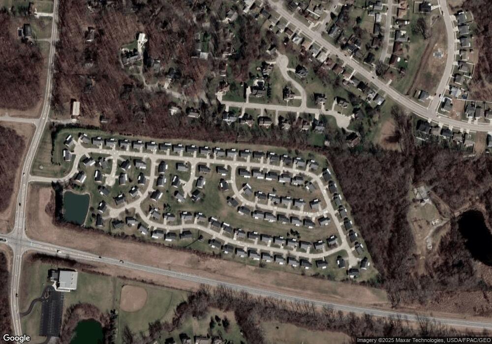
Map
Nearby Homes
- 1201 Kingsgate Rd
- 1162 Kingsgate Rd
- 1500 Kingsgate Rd
- 1502 Kingsgate Rd
- 1500 Kingsgate Rd Unit 19430
- 1502 Kingsgate Rd Unit 19432
- 1509 Kingsgate Rd
- 4256 Midfield St Unit 9
- 3631 Kingsgate Ln
- 1503 Kingsgate Rd
- 1341 Student Ave
- 1505 Kingsgate Rd
- 1507 Kingsgate Rd
- 4343 Burchill St
- 1149 Foxboro Rd
- 1711 Pinehurst Dr
- 1136 Foxboro Rd Unit 202
- 1831 Pinehurst Dr Unit 37
- 4446 Ridgewood Rd E Unit 3
- 1139 Bradford Dr
- 1225 Old Farm Ln
- 1220 Warbler Ridge Unit 40
- 1220 Warbler Ridge
- 1216 Old Farm Ln Unit 15
- 1197 Old Farm Ln Unit 53
- 1226 Old Farm Ln
- 1206 Old Farm Ln Unit 14
- 1206 Old Farm Ln
- 1206 Old Farm Ln
- 1201 Warbler Ridge Unit 52
- 1235 Old Farm Ln Unit 37
- 1235 Old Farm Ln
- 1230 Warbler Ridge Unit 41
- 1209 Warbler Ridge Unit 51
- 1236 Old Farm Ln Unit 17
- 1236 Old Farm Ln
- 1196 Old Farm Ln Unit 13
- 1219 Warbler Ridge Unit 50
- 1240 Warbler Ridge
- 1245 Old Farm Ln Unit 36
Your Personal Tour Guide
Ask me questions while you tour the home.