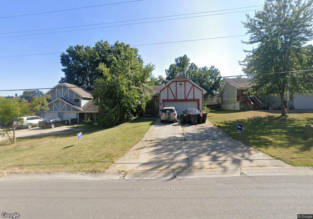
1215 R D Mize Rd Grain Valley, MO 64029
Estimated Value: $227,631 - $244,000
3
Beds
2
Baths
1,105
Sq Ft
$212/Sq Ft
Est. Value
About This Home
This home is located at 1215 R D Mize Rd, Grain Valley, MO 64029 and is currently estimated at $234,158, approximately $211 per square foot. 1215 R D Mize Rd is a home located in Jackson County with nearby schools including Grain Valley High School and Plaza Heights Christian Academy.
Ownership History
Date
Name
Owned For
Owner Type
Purchase Details
Closed on
Apr 11, 2019
Sold by
Chambers Robert W
Bought by
Chambers Reed Andrew
Current Estimated Value
Purchase Details
Closed on
Sep 12, 2005
Sold by
Hess Elmer James and Hess Dorothy B
Bought by
Hess Elmer James and Hess Dorothy B
Purchase Details
Closed on
Jan 8, 2004
Sold by
Hess James E and Hess Dorothy B
Bought by
Hess James E and Hess Dorothy B
Home Financials for this Owner
Home Financials are based on the most recent Mortgage that was taken out on this home.
Original Mortgage
$50,750
Interest Rate
5.97%
Mortgage Type
Stand Alone Refi Refinance Of Original Loan
Create a Home Valuation Report for This Property
The Home Valuation Report is an in-depth analysis detailing your home's value as well as a comparison with similar homes in the area
Home Values in the Area
Average Home Value in this Area
Purchase History
| Date | Buyer | Sale Price | Title Company |
|---|---|---|---|
| Chambers Reed Andrew | -- | None Listed On Document | |
| Hess Elmer James | -- | -- | |
| Hess James E | -- | Continental Title Company |
Source: Public Records
Mortgage History
| Date | Status | Borrower | Loan Amount |
|---|---|---|---|
| Previous Owner | Hess James E | $50,750 |
Source: Public Records
Tax History
| Year | Tax Paid | Tax Assessment Tax Assessment Total Assessment is a certain percentage of the fair market value that is determined by local assessors to be the total taxable value of land and additions on the property. | Land | Improvement |
|---|---|---|---|---|
| 2025 | $1,768 | $24,624 | $3,384 | $21,240 |
| 2024 | $1,768 | $21,470 | $2,717 | $18,753 |
| 2023 | $1,702 | $21,470 | $2,717 | $18,753 |
| 2022 | $1,688 | $18,620 | $4,095 | $14,525 |
| 2021 | $1,648 | $18,620 | $4,095 | $14,525 |
| 2020 | $1,671 | $18,621 | $4,095 | $14,526 |
| 2019 | $1,852 | $21,064 | $4,095 | $16,969 |
| 2018 | $1,696 | $18,026 | $2,978 | $15,048 |
| 2017 | $1,696 | $18,026 | $2,978 | $15,048 |
| 2016 | $1,474 | $15,675 | $1,862 | $13,813 |
| 2014 | $1,296 | $13,680 | $2,290 | $11,390 |
Source: Public Records
Map
Nearby Homes
- 929 NW Scenic Dr
- 207 NW Barr Rd
- 604 SW Meadowood Dr
- 605 NW Silverstone Cir
- 1218 NW Ashley Dr
- 1607 NW Hilltop Ln
- 400 Pavillion Dr
- 1004 NW High View Dr
- 1108 NW Hilltop Ln
- 708 Pavillion Dr
- 1405 NW Aspen Cir
- 2601 NE Amanda Ln
- 2604 NE Crestview St
- 2701 NE Wheatley Dr
- 2605 NE Crestview St
- 2700 NE Crestview St
- 2700 NE Wheatley Dr
- 2601 NE Wheatley Dr
- 1207 NW Hilltop Ln
- 2512 NE Wheatley Dr
- 1217 R D Mize Rd
- 1219 R D Mize Rd
- 1108 NW Scenic Dr
- 1212 R D Mize Rd
- 1210 R D Mize Rd
- 1211 R D Mize Rd
- 1106 NW Scenic Dr
- 1221 R D Mize Rd
- 1110 NW Scenic Dr
- 1208 R D Mize Rd
- 1112 NW Scenic Dr
- 1209 R D Mize Rd
- 1223 R D Mize Rd
- 1225 R D Mize Rd
- 1104 NW Scenic Dr
- 1216 R D Mize Rd
- 1214 R D Mize Rd
- 1206 R D Mize Rd
- 1114 NW Scenic Dr
- 1020 NW Scenic Dr
Your Personal Tour Guide
Ask me questions while you tour the home.