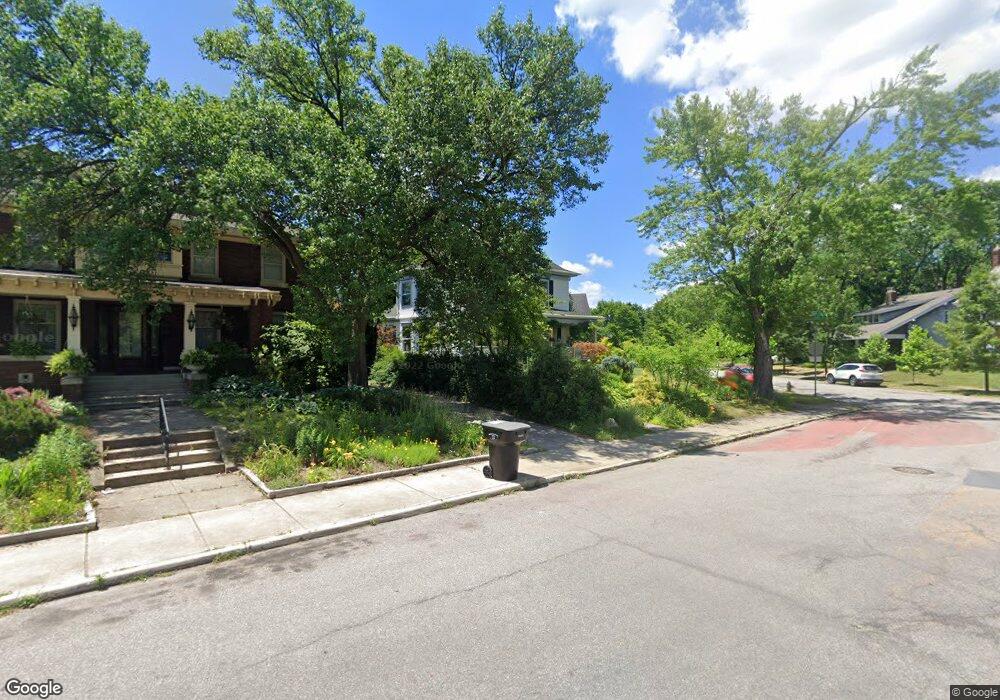
1215 Riverside Dr South Bend, IN 46616
Near Northwest NeighborhoodEstimated Value: $244,000 - $301,177
4
Beds
2
Baths
2,180
Sq Ft
$129/Sq Ft
Est. Value
About This Home
This home is located at 1215 Riverside Dr, South Bend, IN 46616 and is currently estimated at $280,294, approximately $128 per square foot. 1215 Riverside Dr is a home located in St. Joseph County with nearby schools including Muessel Primary Center, Clay Intermediate Center, and Edison Middle School.
Ownership History
Date
Name
Owned For
Owner Type
Purchase Details
Closed on
Jul 29, 2008
Sold by
Soto Jaime Knabet and Barros Pia
Bought by
Kane Brian T and Lobo Neil F
Current Estimated Value
Home Financials for this Owner
Home Financials are based on the most recent Mortgage that was taken out on this home.
Original Mortgage
$116,800
Outstanding Balance
$77,296
Interest Rate
6.5%
Mortgage Type
New Conventional
Estimated Equity
$202,998
Purchase Details
Closed on
Apr 16, 2007
Sold by
St Joseph County Inc
Bought by
Knabet Soto Jaime and Barros Pia
Home Financials for this Owner
Home Financials are based on the most recent Mortgage that was taken out on this home.
Original Mortgage
$107,535
Interest Rate
6.18%
Mortgage Type
Construction
Create a Home Valuation Report for This Property
The Home Valuation Report is an in-depth analysis detailing your home's value as well as a comparison with similar homes in the area
Home Values in the Area
Average Home Value in this Area
Purchase History
| Date | Buyer | Sale Price | Title Company |
|---|---|---|---|
| Kane Brian T | -- | None Available | |
| Knabet Soto Jaime | -- | Meridian Title Corp |
Source: Public Records
Mortgage History
| Date | Status | Borrower | Loan Amount |
|---|---|---|---|
| Open | Kane Brian T | $116,800 | |
| Previous Owner | Knabet Soto Jaime | $107,535 |
Source: Public Records
Tax History Compared to Growth
Tax History
| Year | Tax Paid | Tax Assessment Tax Assessment Total Assessment is a certain percentage of the fair market value that is determined by local assessors to be the total taxable value of land and additions on the property. | Land | Improvement |
|---|---|---|---|---|
| 2024 | $2,892 | $263,500 | $34,400 | $229,100 |
| 2023 | $2,628 | $240,500 | $34,400 | $206,100 |
| 2022 | $2,628 | $217,900 | $34,400 | $183,500 |
| 2021 | $2,527 | $206,400 | $39,000 | $167,400 |
| 2020 | $1,823 | $150,600 | $28,400 | $122,200 |
| 2019 | $1,889 | $184,600 | $62,400 | $122,200 |
| 2018 | $1,590 | $132,600 | $43,600 | $89,000 |
| 2017 | $1,629 | $131,000 | $43,600 | $87,400 |
| 2016 | $1,659 | $131,000 | $43,600 | $87,400 |
| 2014 | $1,613 | $129,700 | $43,600 | $86,100 |
Source: Public Records
Map
Nearby Homes
- 1245 Woodward Ave
- 1201 Allen St
- 1116 Allen St
- 1052 Portage Ave
- 1434 Marigold Way Unit 119
- 1253 Diamond Ave
- 602 W Angela Blvd
- 1040 Woodward Ave
- 1201 Diamond Ave
- 919 Allen St
- 1102 Diamond Ave
- 920 Cleveland Ave
- 816 Allen St
- 715 Blaine Ave
- 703 Portage Ct
- 934 Roosevelt St
- 328 Parkovash Ave
- 806 Roosevelt St
- 310 Ostemo Place
- 745 Allen St
- 1010 Hudson Ave
- 1207 Riverside Dr
- 1016 Hudson Ave
- 1201 Riverside Dr
- 1214 Woodward Ave
- 1218 Woodward Ave
- 1206 Woodward Ave
- 1222 Woodward Ave
- 1013 Yukon St
- 1007 Hudson Ave
- 1204 Woodward Ave
- 1015 Hudson Ave
- 1001 Hudson Ave
- 1228 Woodward Ave
- 1021 Hudson Ave
- 1202 Woodward Ave
- 1232 Woodward Ave
- 1025 Hudson Ave
- 1129 Riverside Dr
- 1236 Woodward Ave