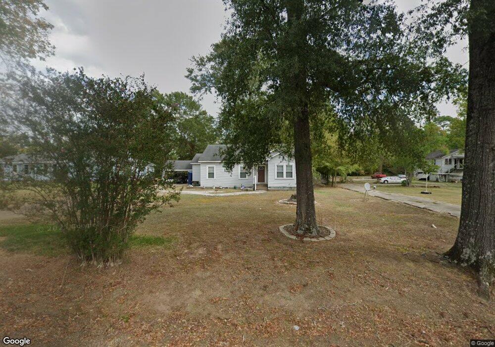
1215 S Hudson Ave Jonesboro, LA 71251
Estimated Value: $52,000 - $165,000
3
Beds
2
Baths
--
Sq Ft
0.69
Acres
About This Home
This home is located at 1215 S Hudson Ave, Jonesboro, LA 71251 and is currently estimated at $99,675. 1215 S Hudson Ave is a home located in Jackson Parish with nearby schools including Jonesboro-Hodge Elementary School, Jonesboro-Hodge Middle School, and Jonesboro-Hodge High School.
Ownership History
Date
Name
Owned For
Owner Type
Purchase Details
Closed on
May 18, 2010
Sold by
Deutsche Bank National Trust Co
Bought by
Brown Kernell
Current Estimated Value
Home Financials for this Owner
Home Financials are based on the most recent Mortgage that was taken out on this home.
Original Mortgage
$30,000
Outstanding Balance
$25,503
Interest Rate
12%
Mortgage Type
Purchase Money Mortgage
Estimated Equity
$74,172
Purchase Details
Closed on
Apr 22, 2009
Sold by
Thompson Matilda A
Bought by
Deutsche Bank National Trust Co
Create a Home Valuation Report for This Property
The Home Valuation Report is an in-depth analysis detailing your home's value as well as a comparison with similar homes in the area
Home Values in the Area
Average Home Value in this Area
Purchase History
| Date | Buyer | Sale Price | Title Company |
|---|---|---|---|
| Brown Kernell | $17,000 | None Available | |
| Deutsche Bank National Trust Co | $628 | None Available |
Source: Public Records
Mortgage History
| Date | Status | Borrower | Loan Amount |
|---|---|---|---|
| Open | Brown Kernell | $30,000 |
Source: Public Records
Tax History Compared to Growth
Tax History
| Year | Tax Paid | Tax Assessment Tax Assessment Total Assessment is a certain percentage of the fair market value that is determined by local assessors to be the total taxable value of land and additions on the property. | Land | Improvement |
|---|---|---|---|---|
| 2024 | $67 | $4,130 | $300 | $3,830 |
| 2023 | $66 | $3,950 | $300 | $3,650 |
| 2022 | $443 | $3,950 | $300 | $3,650 |
| 2021 | $444 | $3,950 | $300 | $3,650 |
| 2020 | $453 | $3,950 | $300 | $3,650 |
| 2019 | $195 | $1,700 | $200 | $1,500 |
| 2018 | $198 | $1,700 | $200 | $1,500 |
| 2017 | $200 | $1,700 | $0 | $1,700 |
| 2015 | $191 | $1,700 | $0 | $1,700 |
| 2013 | $195 | $1,700 | $0 | $1,700 |
Source: Public Records
Map
Nearby Homes
- 118 E 10th St
- 102 E 9th St
- 548 Old Winnfield Rd
- 380 Old Winnfield Rd
- 374 Old Winnfield Rd
- 000 U S Highway 167
- 000 U S Highway 167 Unit Tract 1 & 2
- 206 Allen Ave
- 000 Rodeo St
- 000 Walker Rd
- 0 Par Road 610
- 103 N Allen Ave
- 1201 E Main St
- 182 Forest Dr
- 0 Dale Dr
- Lot 13 Dale Dr
- Lot 15 Dale Dr
- Lot 11 Dale Dr
- Lot 5 Dale Dr
- Lot 14 Dale Dr
- 1209 S Hudson Ave
- 1107 S Hudson Ave
- 1109 S Hudson Ave
- 1115 S Hudson Ave
- 1221 S Hudson Ave
- 1223 S Hudson Ave
- 1228 S Hudson Ave
- 122 Rebecca Dr
- 1202 S Hudson Ave
- 1225 S Hudson Ave
- 116 Rebecca Dr
- 126 Rebecca Dr
- 112 Rebecca Dr
- 107 Hickory St
- 110 Rebecca Dr
- 126 12th St
- 115 Hickory St
- 000 Joann Dr
- 129 Rebecca Dr
- 1104 S Hudson Ave