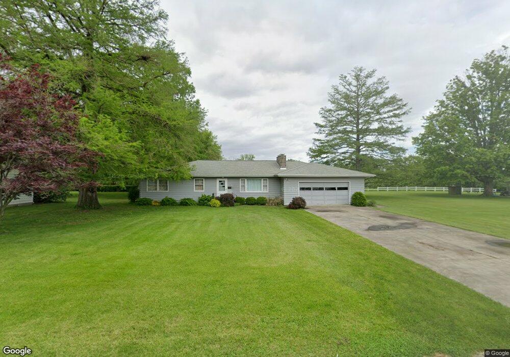
1215 Taylor Ave Charleston, IL 61920
Estimated Value: $154,921 - $185,000
3
Beds
3
Baths
1,620
Sq Ft
$104/Sq Ft
Est. Value
About This Home
This home is located at 1215 Taylor Ave, Charleston, IL 61920 and is currently estimated at $169,230, approximately $104 per square foot. 1215 Taylor Ave is a home located in Coles County with nearby schools including Charleston High School and Charleston Christian Academy.
Ownership History
Date
Name
Owned For
Owner Type
Purchase Details
Closed on
Nov 22, 2011
Sold by
Ferguson Reta Berneice and Max B Ferguson Living Trust
Bought by
Ferguson Reta Berneice and Reta Berneice Ferguson Living
Current Estimated Value
Purchase Details
Closed on
Oct 13, 2006
Sold by
Ferguson Max B and Ferguson Reta Berneice
Bought by
Ferguson Max B and Ferguson Reta Berneice
Create a Home Valuation Report for This Property
The Home Valuation Report is an in-depth analysis detailing your home's value as well as a comparison with similar homes in the area
Home Values in the Area
Average Home Value in this Area
Purchase History
| Date | Buyer | Sale Price | Title Company |
|---|---|---|---|
| Ferguson Reta Berneice | -- | None Available | |
| Ferguson Max B | -- | None Available |
Source: Public Records
Tax History Compared to Growth
Tax History
| Year | Tax Paid | Tax Assessment Tax Assessment Total Assessment is a certain percentage of the fair market value that is determined by local assessors to be the total taxable value of land and additions on the property. | Land | Improvement |
|---|---|---|---|---|
| 2024 | $3,526 | $45,435 | $7,480 | $37,955 |
| 2023 | $3,472 | $41,493 | $6,831 | $34,662 |
| 2022 | $3,479 | $40,807 | $6,718 | $34,089 |
| 2021 | $3,584 | $39,162 | $6,447 | $32,715 |
| 2020 | $3,647 | $40,576 | $6,776 | $33,800 |
| 2019 | $3,588 | $39,162 | $6,540 | $32,622 |
| 2018 | $3,549 | $39,162 | $6,540 | $32,622 |
| 2017 | $3,503 | $39,162 | $6,540 | $32,622 |
| 2016 | $3,473 | $39,162 | $6,540 | $32,622 |
| 2015 | $2,670 | $39,162 | $6,540 | $32,622 |
| 2014 | $2,670 | $39,162 | $6,540 | $32,622 |
| 2013 | $2,670 | $39,162 | $6,540 | $32,622 |
Source: Public Records
Map
Nearby Homes
- 9 Brosam Dr
- 6 Brosam Dr
- 1011 6th St
- 1103 & 1105 6th St
- 1125 6th St
- 1520 Harrison Ave
- 802 Van Buren Ave
- 29 Miller Ave
- 943 2nd St
- 124 Polk Ave
- Lot 28 Tanglewood Dr
- Lot 35 Tanglewood Dr
- 1016 Hawthorne Dr
- Lot 55 Tippecanoe Ave
- Lot 41 Hawthorne Dr
- Lot 43 Hawthorne Dr
- Lot 45 Hawthorne Dr
- Lot 47 Hawthorne Dr
- Lot 49 Hawthorne Dr
- Lot 52 Hawthorne Dr