1215 W 50 N Unit 102 Pleasant Grove, UT 84062
Estimated Value: $402,000 - $405,504
3
Beds
2
Baths
1,595
Sq Ft
$253/Sq Ft
Est. Value
About This Home
This home is located at 1215 W 50 N Unit 102, Pleasant Grove, UT 84062 and is currently estimated at $403,626, approximately $253 per square foot. 1215 W 50 N Unit 102 is a home located in Utah County with nearby schools including Mount Mahogany School, Pleasant Grove Junior High School, and Pleasant Grove High School.
Ownership History
Date
Name
Owned For
Owner Type
Purchase Details
Closed on
Sep 15, 2020
Sold by
Charlesworth Allan
Bought by
Charlesworth Allan and Allan Charlesworth Family Trus
Current Estimated Value
Purchase Details
Closed on
Jun 29, 2018
Sold by
Meyer Timothy W and Meyer Ashley M
Bought by
Charlesworth Allan
Purchase Details
Closed on
Aug 15, 2016
Sold by
Bingham Holli
Bought by
Meyer Tmothy W and Meyer Asiley M
Purchase Details
Closed on
Jul 23, 2012
Sold by
Nielson Holli
Bought by
Bingham Holli
Home Financials for this Owner
Home Financials are based on the most recent Mortgage that was taken out on this home.
Original Mortgage
$217,643
Interest Rate
3.75%
Mortgage Type
FHA
Purchase Details
Closed on
Jun 9, 2008
Sold by
Leavitt Curtis K and Leavitt Cynthia L
Bought by
Nielson Holli
Home Financials for this Owner
Home Financials are based on the most recent Mortgage that was taken out on this home.
Original Mortgage
$221,272
Interest Rate
6%
Mortgage Type
FHA
Purchase Details
Closed on
Oct 26, 2005
Sold by
Crm Investments 7 Lc
Bought by
Leavitt Curtis K and Leavit Cynthia L
Home Financials for this Owner
Home Financials are based on the most recent Mortgage that was taken out on this home.
Original Mortgage
$25,727
Interest Rate
5.9%
Mortgage Type
Stand Alone Second
Purchase Details
Closed on
Oct 25, 2005
Sold by
Leavitt Curtis K
Bought by
Leavitt Curtis K and Leavitt Cynthia L
Home Financials for this Owner
Home Financials are based on the most recent Mortgage that was taken out on this home.
Original Mortgage
$25,727
Interest Rate
5.9%
Mortgage Type
Stand Alone Second
Create a Home Valuation Report for This Property
The Home Valuation Report is an in-depth analysis detailing your home's value as well as a comparison with similar homes in the area
Home Values in the Area
Average Home Value in this Area
Purchase History
| Date | Buyer | Sale Price | Title Company |
|---|---|---|---|
| Charlesworth Allan | -- | None Available | |
| Charlesworth Allan | -- | First Title Ins Agency | |
| Meyer Tmothy W | -- | Access Title Co | |
| Bingham Holli | -- | None Available | |
| Nielson Holli | -- | Title West Title Company | |
| Leavitt Curtis K | -- | Affiliated First Title Comp | |
| Leavitt Curtis K | -- | Title West Title Company | |
| Leavitt Curtis K | -- | Title West Title Company |
Source: Public Records
Mortgage History
| Date | Status | Borrower | Loan Amount |
|---|---|---|---|
| Previous Owner | Bingham Holli | $217,643 | |
| Previous Owner | Nielson Holli | $221,272 | |
| Previous Owner | Leavitt Curtis K | $25,727 | |
| Previous Owner | Leavitt Curtis K | $137,211 | |
| Previous Owner | Leavitt Curtis K | $137,211 |
Source: Public Records
Tax History Compared to Growth
Tax History
| Year | Tax Paid | Tax Assessment Tax Assessment Total Assessment is a certain percentage of the fair market value that is determined by local assessors to be the total taxable value of land and additions on the property. | Land | Improvement |
|---|---|---|---|---|
| 2025 | $1,780 | $214,390 | $43,300 | $346,500 |
| 2024 | $1,780 | $212,465 | $0 | $0 |
| 2023 | $1,748 | $213,510 | $0 | $0 |
| 2022 | $1,816 | $220,770 | $0 | $0 |
| 2021 | $1,595 | $295,200 | $35,400 | $259,800 |
| 2020 | $1,492 | $270,800 | $32,500 | $238,300 |
| 2019 | $1,312 | $246,200 | $28,700 | $217,500 |
| 2018 | $1,212 | $215,000 | $25,800 | $189,200 |
| 2017 | $1,100 | $103,950 | $0 | $0 |
| 2016 | $1,073 | $97,900 | $0 | $0 |
| 2015 | $1,134 | $97,900 | $0 | $0 |
| 2014 | $1,061 | $90,750 | $0 | $0 |
Source: Public Records
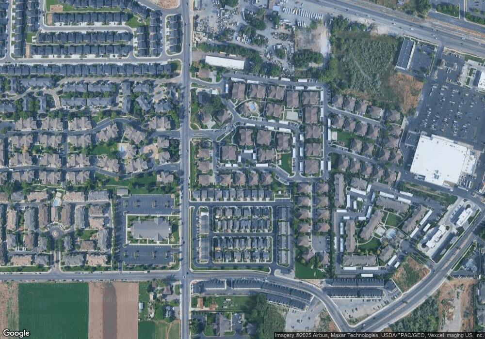
Map
Nearby Homes
- 1267 W 20 S
- 1249 W Cambria Dr Unit 101
- 123 N Romney Ln Unit 103
- 150 N 1300 W
- 1406 W 50 N
- 1429 W 110 N
- 1512 W 50 N
- 165 S Pleasant Blvd Unit 45
- 1559 W 50 N
- 1542 W 110 N
- 289 S 1000 W Unit 203
- 317 S 1000 W Unit 104
- 1584 W 110 N
- 1541 W 250 N
- 1593 W 220 N
- 1525 W 300 N
- 1130 W State Rd
- 278 S 740 W
- 293 N 1630 W
- 383 S 790 W
- 1213 W Spencer Rd Unit J103
- 1215 W Spencer Rd Unit J102
- 1215 W Spencer Rd Unit J102
- 1209 W Spencer Rd Unit J101
- 1209 W 50 N Unit J10
- 1213 W 50 N Unit J10
- 1231 W 50 N
- 1235 W 50 N Unit 103
- 1235 W Spencer Rd Unit N103
- 1237 W Spencer Rd Unit I102
- 1231 W Spencer Rd Unit I101
- 1237 W Spencer Rd
- 1231 W Spencer Rd
- 1212 W 20 S Unit 10
- 1204 W 20 S Unit 11
- 1218 W 20 S Unit 9
- 1224 W 20 S Unit 8
- 1251 W 50 N
- 1251 W Spencer Rd Unit H101
- 1257 W 50 N Unit H103