1215 Watts Bridge Rd Ninety Six, SC 29666
Estimated Value: $574,000 - $827,302
3
Beds
2
Baths
1,791
Sq Ft
$403/Sq Ft
Est. Value
About This Home
This home is located at 1215 Watts Bridge Rd, Ninety Six, SC 29666 and is currently estimated at $721,826, approximately $403 per square foot. 1215 Watts Bridge Rd is a home with nearby schools including Ninety Six Primary School, Ninety Six Elementary School, and Edgewood Middle School.
Ownership History
Date
Name
Owned For
Owner Type
Purchase Details
Closed on
Nov 15, 2022
Sold by
Bridges Stephen H
Bought by
Bridges Stephen H and Bridges Nora T
Current Estimated Value
Purchase Details
Closed on
Nov 1, 2019
Sold by
Caldwell Walter T
Bought by
Caldwell Walter T and Caldwell Walter T
Purchase Details
Closed on
Aug 19, 2016
Sold by
Bridges Jonathan B
Bought by
Bridges Stephen H and Bridges Nora T
Home Financials for this Owner
Home Financials are based on the most recent Mortgage that was taken out on this home.
Original Mortgage
$110,000
Interest Rate
3.45%
Mortgage Type
Commercial
Create a Home Valuation Report for This Property
The Home Valuation Report is an in-depth analysis detailing your home's value as well as a comparison with similar homes in the area
Home Values in the Area
Average Home Value in this Area
Purchase History
| Date | Buyer | Sale Price | Title Company |
|---|---|---|---|
| Bridges Stephen H | -- | -- | |
| Bridges Stephen H | -- | None Listed On Document | |
| Caldwell Walter T | -- | None Available | |
| Bridges Stephen H | -- | None Available | |
| Caldwell Walter T | -- | None Available | |
| Bridges Stephen H | -- | None Available |
Source: Public Records
Mortgage History
| Date | Status | Borrower | Loan Amount |
|---|---|---|---|
| Previous Owner | Bridges Stephen H | $110,000 |
Source: Public Records
Tax History Compared to Growth
Tax History
| Year | Tax Paid | Tax Assessment Tax Assessment Total Assessment is a certain percentage of the fair market value that is determined by local assessors to be the total taxable value of land and additions on the property. | Land | Improvement |
|---|---|---|---|---|
| 2024 | $2,712 | $21,400 | $0 | $0 |
| 2023 | $2,712 | $21,400 | $0 | $0 |
| 2022 | $2,701 | $21,400 | $0 | $0 |
| 2021 | $2,688 | $21,400 | $0 | $0 |
| 2020 | $2,630 | $20,880 | $0 | $0 |
| 2019 | $6,297 | $13,200 | $0 | $0 |
| 2018 | $1,812 | $370,000 | $315,000 | $55,000 |
| 2017 | $1,802 | $370,000 | $315,000 | $55,000 |
| 2016 | $2,065 | $370,000 | $315,000 | $55,000 |
| 2015 | $2,187 | $394,000 | $315,000 | $79,000 |
| 2014 | -- | $19,550 | $0 | $0 |
| 2010 | -- | $211,900 | $155,300 | $56,600 |
Source: Public Records
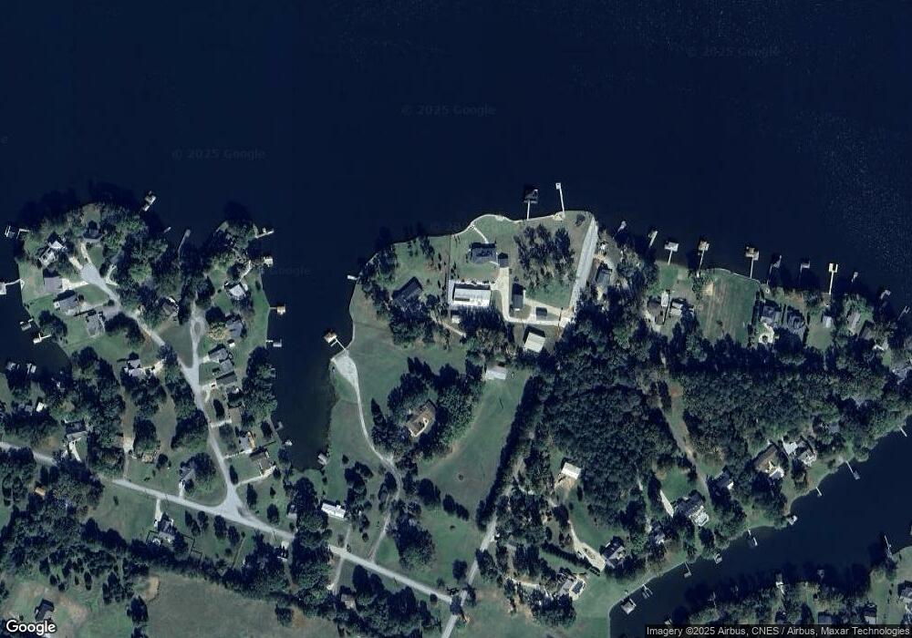
Map
Nearby Homes
- 102 P C Jean Rd
- 104 Bayview Dr
- 1734 Pineland Shores Cir
- 334 Pelican Harbor Dr
- 712 State Road S-30-566
- 862 State Road S-30-286
- 681 Amber Hill Cir
- 00 Pineland Shores Cir
- 220 Gardenia Dr
- 128 Gardenia Dr
- 132 Sassafrass
- 130 Sassafrass
- 308 S Lake Forest Dr
- 242 Gardenia Dr
- 463 Cane Creek Camp Park
- 463 Cane Creek Camp Lot 41 Rd
- 0 Osprey Cir Unit 1546660
- 0 Osprey Cir Unit 22500021
- 0 Osprey Cir Unit 22499942
- 219 Nautical Way
- 1217 Watts Bridge Rd
- 1219 Watts Bridge Rd
- 108 Port Royal Dr
- 108 Cape Cod Ct
- 106 Cape Cod Ct
- 104 Cape Cod Ct
- 102 Cape Cod Ct
- 101 P C Jean Rd
- 108 Port Arthur Dr
- 106 Port Arthur Dr
- 0 Cape Cod Ct
- 112 Port Royal Dr
- 104 Port Arthur Dr
- 106 Port Royal Dr
- 105 P C Jean Rd
- 106 Cape Charles Ct
- 114 Port Royal Dr
- 107 P C Jean Rd
- 104 Port Royal Dr
- 206 Port Royal Dr