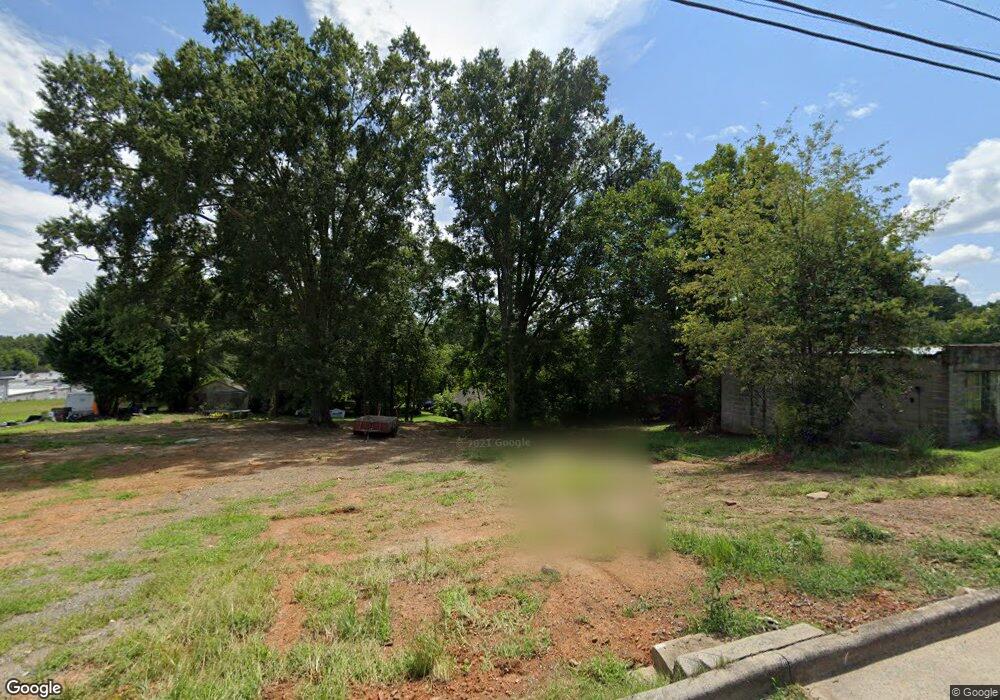
1215 Wiscassett St Albemarle, NC 28001
Estimated Value: $18,161 - $70,000
3
Beds
1
Bath
1,980
Sq Ft
$22/Sq Ft
Est. Value
About This Home
This home is located at 1215 Wiscassett St, Albemarle, NC 28001 and is currently estimated at $44,081, approximately $22 per square foot. 1215 Wiscassett St is a home located in Stanly County with nearby schools including Central Elementary School, Albemarle Middle School, and Albemarle High School.
Ownership History
Date
Name
Owned For
Owner Type
Purchase Details
Closed on
Oct 15, 2019
Sold by
Furr James Edward and Furr Terri E
Bought by
Cox Donnie A and Cox Elizabeth C
Current Estimated Value
Purchase Details
Closed on
Apr 25, 2007
Sold by
Drye Timothy Doyle
Bought by
Furr James E and Furr Terrie E
Home Financials for this Owner
Home Financials are based on the most recent Mortgage that was taken out on this home.
Original Mortgage
$80,000
Interest Rate
6.11%
Mortgage Type
Purchase Money Mortgage
Create a Home Valuation Report for This Property
The Home Valuation Report is an in-depth analysis detailing your home's value as well as a comparison with similar homes in the area
Home Values in the Area
Average Home Value in this Area
Purchase History
| Date | Buyer | Sale Price | Title Company |
|---|---|---|---|
| Cox Donnie A | $9,000 | None Available | |
| Furr James E | $80,000 | None Available |
Source: Public Records
Mortgage History
| Date | Status | Borrower | Loan Amount |
|---|---|---|---|
| Previous Owner | Furr James E | $80,000 |
Source: Public Records
Tax History Compared to Growth
Tax History
| Year | Tax Paid | Tax Assessment Tax Assessment Total Assessment is a certain percentage of the fair market value that is determined by local assessors to be the total taxable value of land and additions on the property. | Land | Improvement |
|---|---|---|---|---|
| 2025 | $174 | $15,510 | $15,510 | $0 |
| 2024 | $96 | $7,896 | $7,896 | $0 |
| 2023 | $96 | $7,896 | $7,896 | $0 |
| 2022 | $96 | $7,896 | $7,896 | $0 |
| 2021 | $96 | $7,896 | $7,896 | $0 |
| 2020 | $88 | $6,768 | $6,768 | $0 |
| 2019 | $117 | $8,915 | $6,768 | $2,147 |
| 2018 | $414 | $31,614 | $6,768 | $24,846 |
| 2017 | $398 | $31,614 | $6,768 | $24,846 |
| 2016 | $448 | $35,558 | $6,486 | $29,072 |
| 2015 | $453 | $35,558 | $6,486 | $29,072 |
| 2014 | $567 | $35,558 | $6,486 | $29,072 |
Source: Public Records
Map
Nearby Homes
- 1316 Wiscassett St
- 1119 Poplar St
- 0 Pennington Rd Unit CAR4263058
- 1600 Bluff St
- 710 Austin St Unit 124
- 406 Church St
- 715 Wood St
- 1328 Columbus St
- 1724 Lowder St
- 1610 Lowder St
- 1723 Lowder St
- 1339 Hill St
- 610 Watts St
- 1806 Kingsley Dr
- 1409 Long St Unit 1-9
- 916 Macarthur Rd
- 1410 Long St Unit 18-19
- 203 N Broome St
- 1240 Hollywood Terrace
- 10.02 Ash St
- 1209 Wiscassett St
- 1210 Walnut St
- 1222 Walnut St
- 1229 Wiscassett St
- 1210 Wiscassett St
- 1206 Wiscassett St
- 1222 Wiscassett St
- 812 Monroe St
- 1125 Wiscassett St
- 1228 Wiscassett St
- 1126 Wiscassett St
- 1234 Walnut St
- 1119 Wiscassett St
- 1319 Wiscassett St
- 1211 Walnut St
- 1118 Wiscassett St
- 1223 Walnut St
- 921 Monroe St
- N/A Wiscassett St
- 1306 Walnut St